
Places near here
Photo credits
- National Inventory of Architectural Heritage
- Kenneth Allen, Geograph · Creative Commons Attribution-ShareAlike 2.0
- DAYVEHUSE, Wikimedia Commons · CC BY-SA 4.0
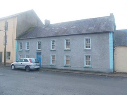 Ric barracks178 yd
Explorer Tom RIC barracks in Manorcunningham had Francis Sherridan as constable in 1881. Its two red brick chimneys look as if they…
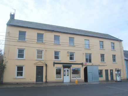 Browne & SonsHouse · 195 yd
Explorer Tom Browne & Sons has a sneaky little tunnel built right into its side! Built around 1870, I wonder if that arch was for a…
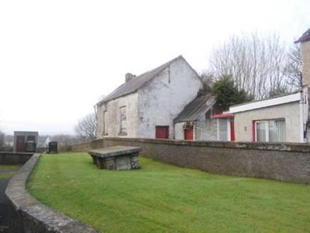 school209 yd
Explorer Tom School in Manorcunningham, Donegal, was built on a bargain that probably involved a chicken and a promise. It stands…
 Raymochy Church of Ireland Parish ChurchChurch/chapel · 238 yd
Explorer Tom Raymochy Church of Ireland Parish Church was built in 1792 and looks like a proper little castle that decided to keep…
 First Presbyterian Meeting HouseChurch/chapel · 273 yd
Explorer Tom First Presbyterian Meeting House is a simple hall with a plaque that claims it was built in 1746 by the Revd William…
 Second Ray Presbyterian ChurchChurch/chapel · 556 yd
Explorer Tom Second Ray Presbyterian Church is a 19th-century hall that looks like it’s wearing a very fancy, two-storey entrance…
 Raymoghly Old GraveyardChurch/chapel, graveyard/cemetery · 927 yd
Explorer Tom Raymoghly Old Graveyard in Raymoghy holds the ruins of an early church built around 1500, which was altered in the…
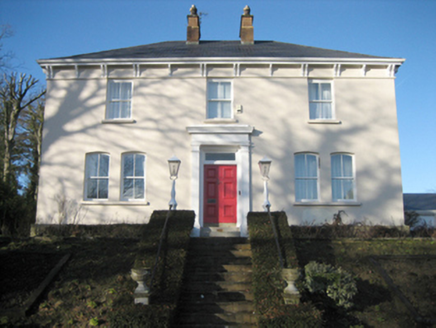 Gort Presbyterian ManseManse · 1306 yd
Explorer Tom Gort Presbyterian Manse has two big red brick chimneys right in the middle! Built around 1885, why would anyone need…
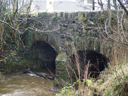 Connaghan's BridgeBridge · 1.1 mi
Explorer Tom Connaghan's Bridge has a V-shaped stone nose pointing straight at the Corkey River. I bet the masons in 1800 thought it…
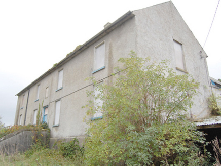 Ray Charter SchoolCharter school · 1.2 mi
Explorer Tom Ray Charter School is a 1740 institution that was the only one of its kind ever established in County Donegal. It’s a…
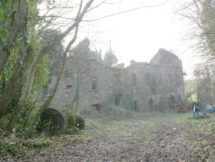 Pluck MillsMill (water) · 1.2 mi
Explorer Tom Pluck Mills in Pluck somehow ended up in the wrong place, or maybe it just got lost on the way to being a factory. It’s…
 outbuilding1.2 mi
Explorer Tom Outbuilding in Grawky Glebe puts red-brick surrounds around openings in its grey stone face. Those brick eyebrows make…
More archaeology and monuments in County Donegal · All of County Donegal

What do you know about this place?Tap to add a comment or ask a question