
What is recorded here
Double-arched bridge carrying road over the Corkey River, built c. 1800, having V-profile rubble stone cutwater to the central pier to both the upstream and downstream elevations (north and south). Segmental-headed arches having roughly dressed and squared rubble stone voussoirs; cement lining to arch barrels. Rubble…
Read the whole record
From the Buildings of Ireland (National Inventory of Architectural Heritage) record 40905456
Places near here
Photo credits
- Maker not stated on source page, www.pinterest.com
- National Inventory of Architectural Heritage
- Maker not stated on source page, stock.adobe.com
- Maker not stated on source page, ca.pinterest.com
- Maker not stated on source page, ru.pinterest.com
 Standing stone in PluckStanding stone · 179 yd
Explorer Tom Standing stone in Pluck is right next to the Isle Burn! I bet it’s there to watch for fish, or maybe it’s just waiting…
 Standing stone in CorkeyStanding stone · 576 yd
Explorer Tom Standing stone in Corkey is laughing at the poet who fell into the ditch nearby because he was too busy writing about…
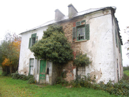 Leslie HillHouse · 591 yd
Explorer Tom Leslie Hill in Corkey claims to be three hundred years older than it actually is, which is just ridiculous. It’s a…
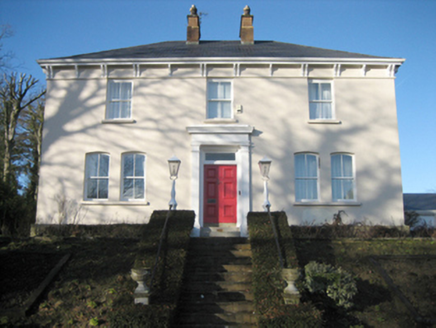 Gort Presbyterian ManseManse · 635 yd
Explorer Tom Gort Presbyterian Manse has two big red brick chimneys right in the middle! Built around 1885, why would anyone need…
 bridge644 yd
Explorer Tom Bridge in Corkey carried the Burt Junction to Letterkenny railway over a road from about 1883. Its yellow brick arch…
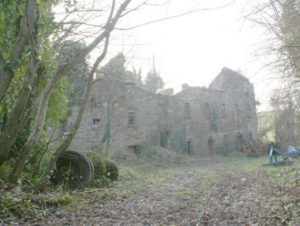 Pluck MillsMill (water) · 654 yd
Explorer Tom Pluck Mills in Pluck somehow ended up in the wrong place, or maybe it just got lost on the way to being a factory. It’s…
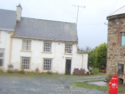 worker's house731 yd
Explorer Tom Worker's house in Corkey, built around 1825, stands near a former corn mill and what may have been a flax mill. The…
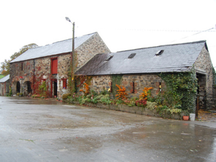 Green CottageOutbuilding · 745 yd
Explorer Tom Green Cottage might have been the ancestral home of John Caldwell Calhoun! He became the seventh Vice President of the…
 Cist in LabbadishCist · 1028 yd
Explorer Tom Cist in Labbadish is a slab-lined box that went missing while someone dug for sand and gravel in 1964. The foodvessel…
 Stone row in LabbadishStone row · 1043 yd
Explorer Tom Stone row in Labbadish has a proper standing stone right in the middle, but the two next to it are just granite…
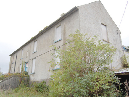 Ray Charter SchoolCharter school · 1107 yd
Explorer Tom Ray Charter School is a 1740 institution that was the only one of its kind ever established in County Donegal. It’s a…
 Raymoghy Old Church GraveyardGraveyard · 1183 yd
Explorer Tom Rymoghy Old Church Graveyard keeps its history in the gate. Three medieval window fragments are built right into the…
More historic places in County Donegal · All of County Donegal

What do you know about this place?Tap to add a comment or ask a question