
Places near here
Photo credits
- National Inventory of Architectural Heritage
- DAYVEHUSE, Wikimedia Commons · CC BY-SA 4.0
- Richard Webb, Wikimedia Commons · CC BY-SA 2.0
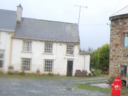 worker's house354 yd
Explorer Tom Worker's house in Corkey, built around 1825, stands near a former corn mill and what may have been a flax mill. The…
 bridge371 yd
Explorer Tom Bridge in Carricknamart has one wide arch with carefully cut stones, enough to make me slow down and look at the…
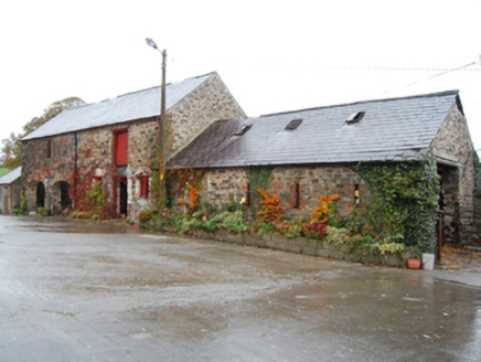 Green CottageOutbuilding · 413 yd
Explorer Tom Green Cottage might have been the ancestral home of John Caldwell Calhoun! He became the seventh Vice President of the…
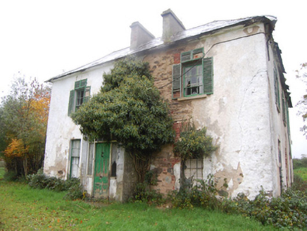 Leslie HillHouse · 451 yd
Explorer Tom Leslie Hill in Corkey claims to be three hundred years older than it actually is, which is just ridiculous. It’s a…
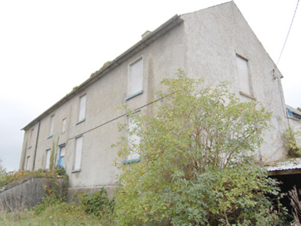 Ray Charter SchoolCharter school · 1035 yd
Explorer Tom Ray Charter School is a 1740 institution that was the only one of its kind ever established in County Donegal. It’s a…
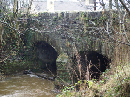 Connaghan's BridgeBridge · 1043 yd
Explorer Tom Connaghan's Bridge has a V-shaped stone nose pointing straight at the Corkey River. I bet the masons in 1800 thought it…
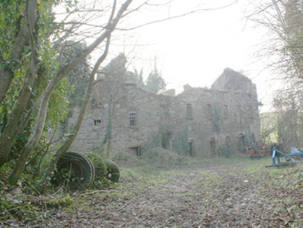 Pluck MillsMill (water) · 1503 yd
Explorer Tom Pluck Mills in Pluck somehow ended up in the wrong place, or maybe it just got lost on the way to being a factory. It’s…
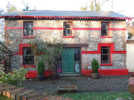 railway station1547 yd
Explorer Tom Railway station in Drumcarn is secretly proud of the potato it once carried to market. It thinks it’s a celebrity now…
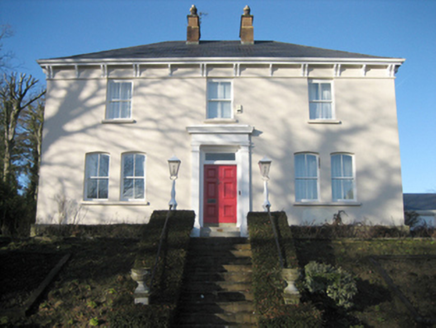 Gort Presbyterian ManseManse · 1558 yd
Explorer Tom Gort Presbyterian Manse has two big red brick chimneys right in the middle! Built around 1885, why would anyone need…
 Raymoghly Old GraveyardChurch/chapel, graveyard/cemetery · 1.1 mi
Explorer Tom Raymoghly Old Graveyard in Raymoghy holds the ruins of an early church built around 1500, which was altered in the…
 Battlefield in Tully (kincraigy Ed),glenmaquin Lower,roosky (castleforward Ed)Battlefield · 1.6 mi
Explorer Tom Tully, Glenmaquin Lower had a fox that took charge of the whole operation once, probably because it was smarter than…
Battle of GlenmaquinBattle · 2.3 miExplorer Tom Battle of Glenmaquin would tell its younger self to stop caring so much about the Crown victory and just enjoy the mud…
More archaeology and monuments in County Donegal · All of County Donegal

What do you know about this place?Tap to add a comment or ask a question