What is recorded here
Balleeghan Upper holds a narrow standing stone, one metre fifteen tall and fifty-seven centimetres wide, leaning slightly across level pasture. It has watched cattle, rain and forgotten foottraffic for generations, steady enough to mark a boundary, a meeting place or a warning nobody remembers. The land around it is ordinary, which makes the stone’s patience more striking.
A standing stone c. 1.15m high × c. 0.57m wide; NW-SE. Situated on level pasture land.
The above description was derived from the 'Archaeological Survey of County Donegal. A description of the field antiquities of the County from the Mesolithic Period to the 17th century.' Compiled by: Brian Lacey with Eamon Cody, Claire Cotter, Judy Cuppage, Noel Dunne, Vincent Hurley, Celie O'Rahilly, Paul Walsh and Seán Ó Nualláin (Lifford: Donegal County Council, 1983). In certain instances the entries have been revised and updated.
Date of upload: 22 September 2008
The monument record does not grant public access. Check the route and ask the landowner before entering private land.
- What survives
- Recorded monument
Places near here
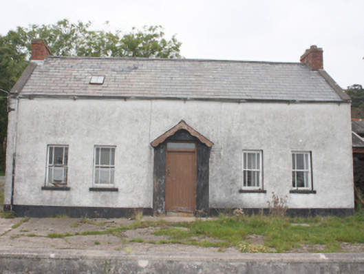 farm housefarm house · 1501 yd
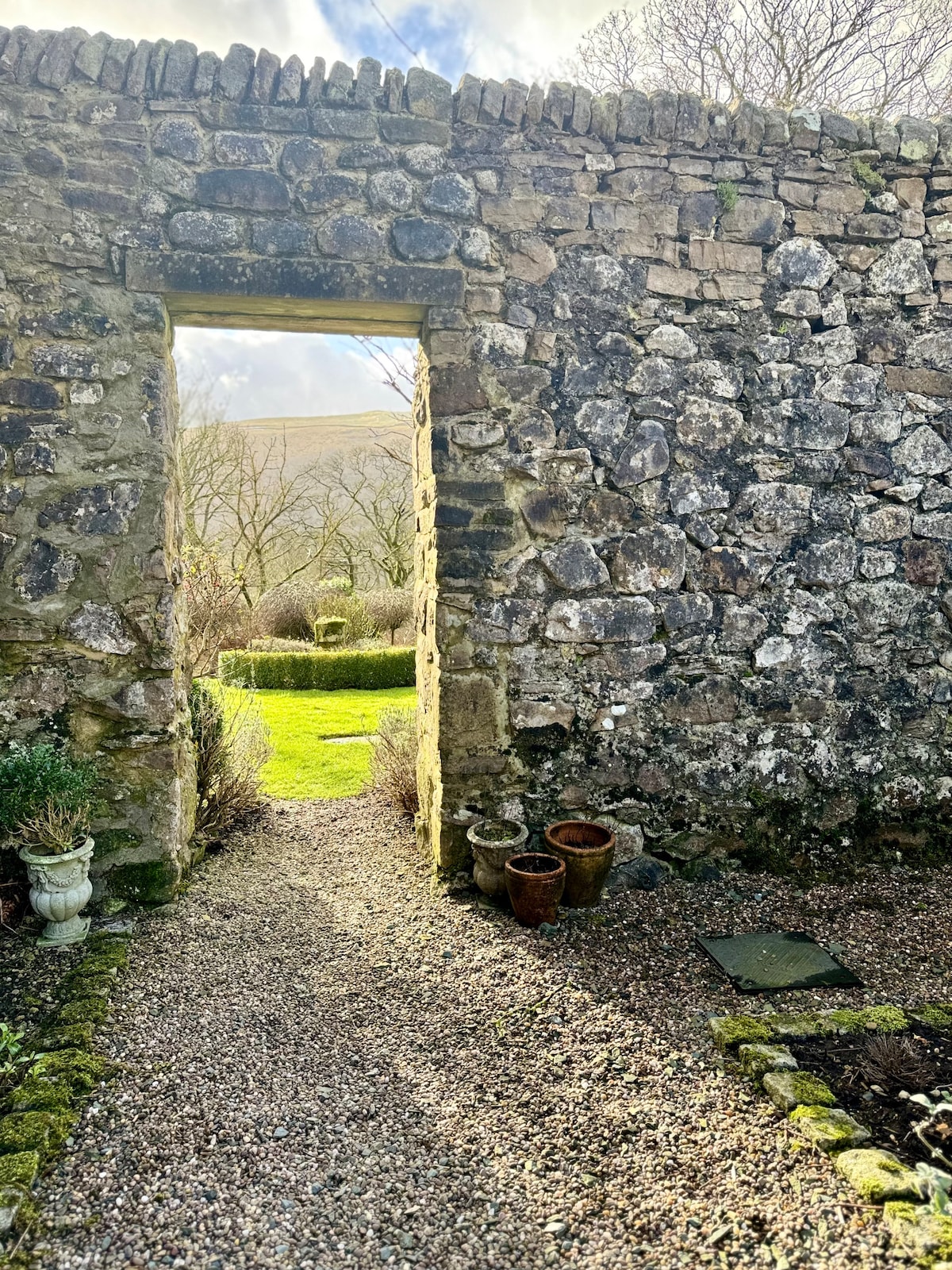 Hilltop enclosure in Part OF Balleeghan LowerHilltop enclosure · 1.3 mi
 Balleeghan Lower Stone-Banked RingfortFairy fort / earthen ringfort · 1.5 mi
 St. Patrick's Catholic Churchchurch/chapel · 1.6 mi
 CastleCastle, unclassified · 2.8 mi
 CuldaffOfficial bathing water · 3.4 mi
 Lag GraveyardGraveyard · 4.0 mi
 Five Finger StrandBeach / strand · 4.3 mi
 Doagh Famine VillageMuseum · 4.4 mi
 Dough Famine VillageHeritage attraction · 4.4 mi
 Carndonagh Early Church GraveyardGraveyard · 4.8 mi
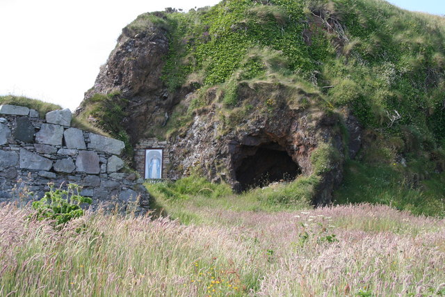 Wee House of Malin CaveCave · 5.3 mi