What is recorded here
Cashlanaveeve is a faded ringfort on Doonmore Hill, reduced to a wet grassy plateau and a few south-edge stones. A modern fence cuts across its north side, marking the boundary between human ownership and forgotten life. The fort has lost most of its shape, but the remaining circle suggests people once drew a line around themselves and called the inside home.
Marked 'Cashlanaveeve' the site now consists only of a roughly circular plateau with a few remaining edge stones on the S side of Doonmore Hill in wet grass-covered ground. A modern field fence crosses the N side.
The above description was derived from the 'Archaeological Survey of County Donegal. A description of the field antiquities of the County from the Mesolithic Period to the 17th century.' Compiled by: Brian Lacey with Eamon Cody, Claire Cotter, Judy Cuppage, Noel Dunne, Vincent Hurley, Celie O'Rahilly, Paul Walsh and Seán Ó Nualláin (Lifford: Donegal County Council, 1983). In certain instances the entries have been revised and updated.
Date of upload: 22 September 2008
A fairy fort in Part of Balleeghan Lower is an earthen ringfort, likely dating to the early medieval period, and represents a common type of ancient settlement in Ireland. Local tradition associates such sites with fairy folk, and they were often avoided to prevent supernatural encounters.
The monument record does not grant public access. Check the route and ask the landowner before entering private land.
- What survives
- Recorded monument
Places near here
 Balleeghan Lower Stone-Banked RingfortFairy fort / earthen ringfort · 186 yd
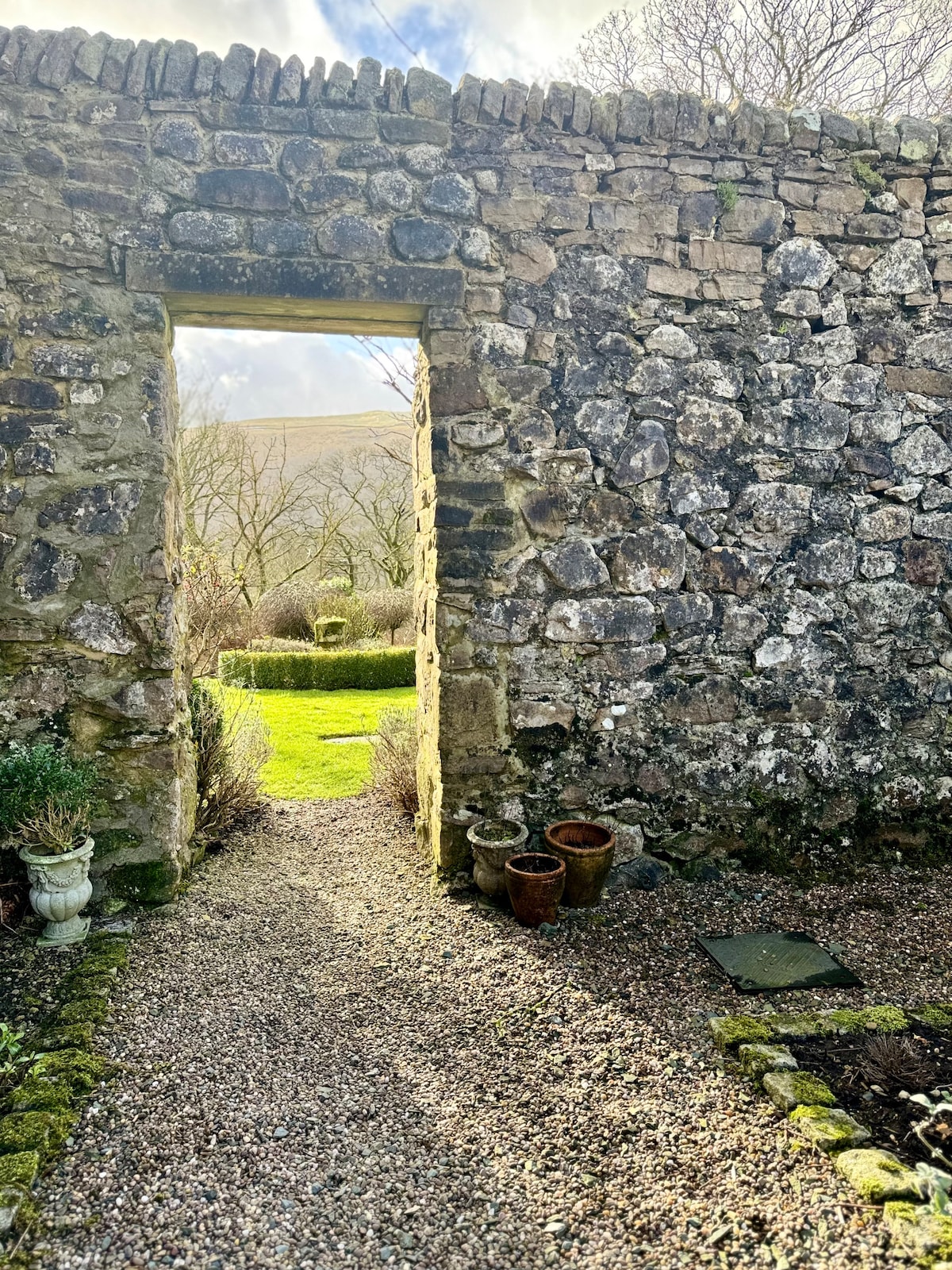 Hilltop enclosure in Part OF Balleeghan LowerHilltop enclosure · 574 yd
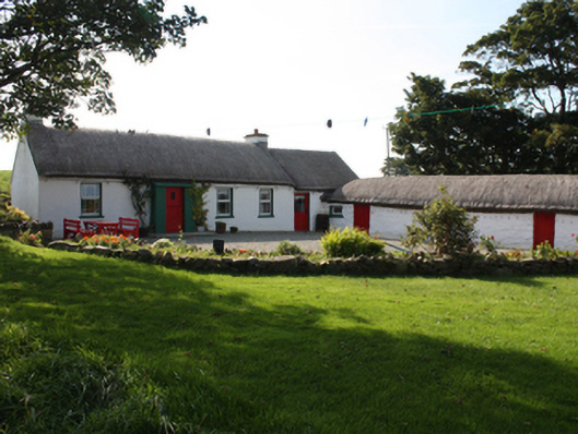 Faherna Cottagehouse · 1049 yd
 St. Patrick's Catholic Churchchurch/chapel · 1053 yd
 CastleCastle, unclassified · 1.8 mi
 CuldaffOfficial bathing water · 2.0 mi
 Carndonagh Early Church GraveyardGraveyard · 4.4 mi
 Lag GraveyardGraveyard · 5.3 mi
 Tremone BayBeach / strand · 5.4 mi
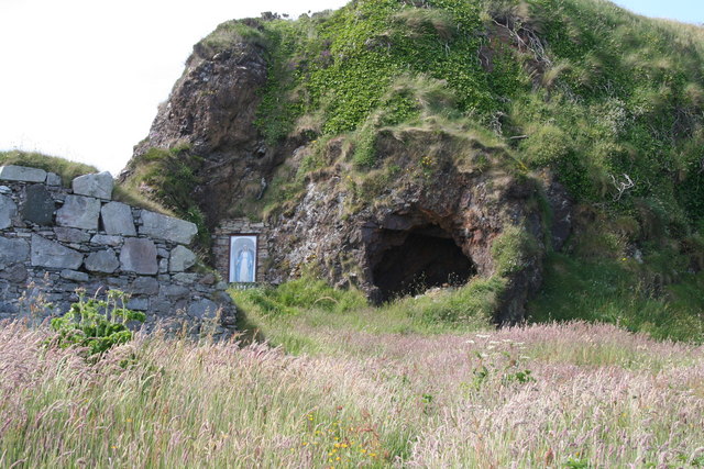 Wee House of Malin CaveCave · 6.8 mi
 CrockavishaneMountain / peak · 7.4 mi
 Wee Slieve SnaghtMountain / peak · 8.4 mi