
Places near here
Photo credits
- National Inventory of Architectural Heritage
- Donegal Daily; photographer not named, Source publisher
- N Chadwick, Geograph · CC BY-SA 2.0
- Caroline McLaughlin / Donegal Live, Source publisher
- Kenneth Allen, Geograph · CC BY-SA 2.0
- Andreas F. Borchert, Wikimedia Commons · CC BY-SA 4.0
- Picture: Barrack Hill Town Park
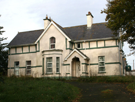 rectory/glebe/vicarage/curate's house1129 yd
Explorer Tom This Rectory in Carrowmore is a proper architectural oddity, built around 1890. It’s got that breakfront and canted bay…
 farm house1215 yd
Explorer Tom Farm house in Carrowmore replaced an older home from 1837, settling into its role around 1880. It’s got a proper…
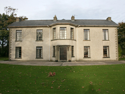 Rockville HouseHouse · 1227 yd
Explorer Tom Rockville House has been standing in Drumcarbit since around 1800, serving as a Presbyterian manse for families like…
 Connolly Park, MalinGAA ground · 1399 yd
Explorer Tom Connolly Park is Malin’s proud patch of Gaelic games, up near the tip of Inishowen where an away team has already had…
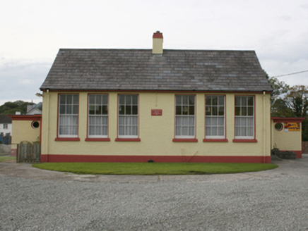 Scoil Treasa Naofa MalainnSchool · 1427 yd
Explorer Tom Scoil Treasa Naofa Malainn is a neat little time capsule from 1951. It’s a standard Office of Public Works design, but…
 water pump1512 yd
Explorer Tom Water pump in Carrowmore has been standing since about 1900, its rams head grip and cow-tail handle looking like a…

 E. McCleanRestaurant · 1625 yd
Explorer Tom E. McClean is a great restaurant now, with lunch or dinner worth turning up for. Tom says that if you're lucky, you…
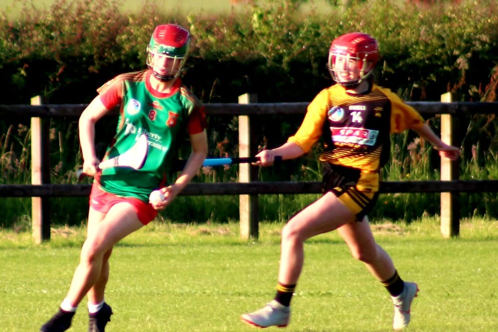 Páirc O’Dochartaigh, CarndonaghGAA ground · 3.2 mi
Explorer Tom Páirc O’Dochartaigh is Carndonagh’s Gaelic games home at Foden, where football, hurling and camogie have all found room…
 McGuinness’Pub · 3.4 mi
Explorer Tom McGuinness’ in Culdaff Main Street probably has a sign that says 'No Dogs Except This One,' showing clear favoritism. I…
 Clonca Second High CrossCross, High cross · 3.9 mi
Explorer Tom Clonca Second High Cross is currently a bit of a puzzle, lying on the ground next to its original socket hole. The arm…
 Clonca High CrossCross, High cross · 3.9 mi
Explorer Tom Clonca High Cross stands near Culdaff with carvings lively enough to make me want to ask the stone what story comes…
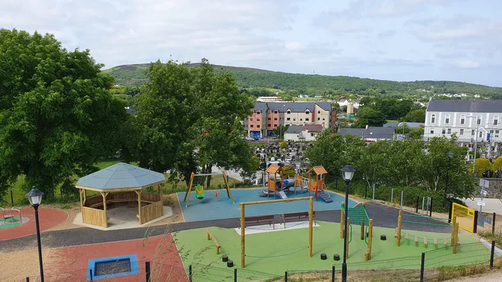 Barrack Hill Town Park PlaygroundChildren's playground · 4.0 mi
Explorer Tom At Barrack Hill, little legs get the climbing frames, swings, balance beams and monkey bars. The roundabout was…
More archaeology and monuments in County Donegal · All of County Donegal

What do you know about this place?Tap to add a comment or ask a question