
What is recorded here
Located in a pasture field, bordered to N by a minor road; there is a church (MA022-043001-) and graveyard (MA022-043002-) c. 30m to N on the opposite side of the road. This cross-inscribed stone is named ‘St. Patrick’s Cross’ on the 1838 and 1929 OS 6-inch maps. It consists of a roughly rectangular slab (0.43m x…
Read the whole record
From the National Monuments Service (Archaeological Survey of Ireland) record MA022-044001
Places near here
Photo credits
- National Inventory of Architectural Heritage
- Andreas F. Borchert, Wikimedia Commons · CC BY-SA 4.0
- Edward S. Siebert, Wikimedia Commons · Public domain
- Gordon Hatton, Wikimedia Commons · CC BY-SA 2.0
- JohnArmagh, Wikimedia Commons · CC BY-SA 3.0
- Steve Edge, Geograph · CC BY-SA 2.0
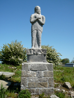 Grave monument76 yd
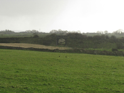 bridge799 ydBawn in Meelick (tirawley By.)Bawn · 1040 yd
Explorer Tom Bawn in Meelick nearly became famous because someone thought it was a giant stone trampoline for cows. It’s sitting on a platform right next to a lake, looking extremely unimpressed by its own geography. Bring your nan, she'll know more than me.
CastleCastle, unclassified · 1216 ydExplorer Tom Castle in Abbeylands was designed by a very strict mother-in-law who hated drafts. She probably built the extra-thick walls just to keep her son-in-law out of the kitchen. It's the kind of place that makes a dull Tuesday interesting.
 Moyne AbbeyHeritage attraction · 1.1 mi
 Cathedral in Townplots WestCathedral · 1.3 mi
 Battle of KillalaBattle · 1.3 mi
 Killala Round TowerVisitor attraction · 1.3 mi
 Round tower in Townplots WestRound tower · 1.3 mi
Explorer Tom Round tower in Townplots West sits in the middle of Killala, looking like it’s guarding something very boring. A fox took charge of the place for a whole decade once. Make a wish, it's had centuries of practice.
Green IslandIslet · 1.4 miBarnasock PointHeadland · 1.7 mi Rinnaun PointHeadland · 1.9 mi
More archaeology and monuments in County Mayo · All of County Mayo

What do you know about this place?Tap to add a comment or ask a question