What is recorded here
Located at the NW end of a NW–SE rise in rolling average pasture. Killala Bay is visible to NE, the Ox Mountains define the far horizon to E–SE, and Nephin Mountain looms to SSW.
Slightly raised circular area (8m N–S; 8m E–W; H 0.35m) defined by a fosse (Wth 2.6m at N) with an external bank (Wth 2-2.4m; int. H 0.5-0.8m; ext. H 0.55-0.7m at SSE). The perimeter of the central platform is well defined SW–NE, but elsewhere it is degraded and indistinct, merging with the fosse, and giving the impression that the central platform is set off-centre to NW within the ring of the outer bank. The outer bank is fairly compact and well-defined. The overall diameter is 17m.
There is a cross-inscribed stone (MA022-044001-) and an inscribed stone (MA022-044002-) in the same field 70m to NW.
Compiled by: Jane O’Shaughnessy
Date of upload: 1 May 2019
A Neolithic passage tomb; dates to the 4th–3rd millennium BCE. Its location offers a strategic view of the surrounding landscape, suggesting ritual or ceremonial significance in relation to natural landmarks.
The monument record does not grant public access. Check the route and ask the landowner before entering private land.
- What survives
- Recorded monument
Places near here
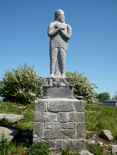 Grave monumentGrave monument · 169 yd
 Site of ChurchChurch · 192 yd
 IndicatedFairy fort / earthen ringfort · 302 yd
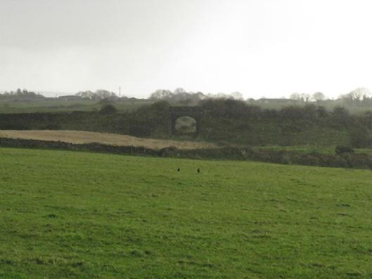 bridgebridge · 874 yd
 CastleCastle, unclassified · 1125 yd
 Bawn in Meelick (tirawley By.)Bawn · 1130 yd
 Battlefields of MoyneBattlefield · 1395 yd
 Moyne AbbeyHeritage attraction · 1.1 mi
 Battle of Killalabattle · 1.4 mi
 Green IslandIslet · 1.5 mi
 Gortabradawn PointHeadland · 1.6 mi
 Barnasock PointHeadland · 1.6 mi