
What is recorded here
Located in pasture on a fairly steep SE-facing slope. Depicted faintly as a small rectangular building and marked 'Site of Church' on the 1840 ed. of the OS 6-inch map. It is not visible at ground level, and may have been a penal church.
The above description is derived from the published 'Archaeological Inventory of County Waterford' (Dublin: Stationery Office, 1999). In certain instances the entries have been revised and updated in the light of recent research.
Compiled by: Michael Moore.
Date of upload/revision: 6th May, 2011.
The monument record does not grant public access. Check the route and ask the landowner before entering private land.
- What survives
- Recorded monument
Places near here
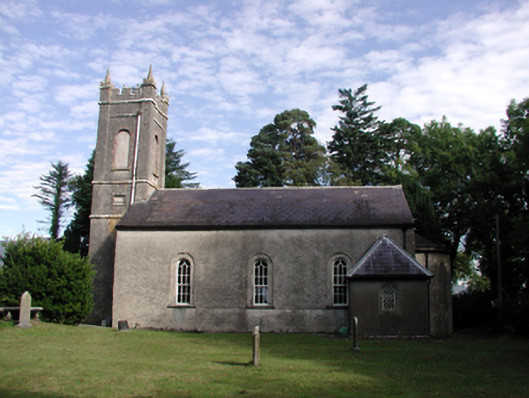 Kilrossanty Churchchurch/chapel · 601 yd
 IndicatedEnclosure · 648 yd
 Comeragh Househouse · 985 yd
 Embanked enclosureFairy fort / ringfort · 1060 yd
 Site of CastleCastle, unclassified · 1.6 mi
 Crough WoodWood · 1.6 mi
 Magic Road (finish)Heritage attraction · 2.1 mi
 Bawn in BarnankileBawn · 2.1 mi
 Magic Road (start)Heritage attraction · 2.1 mi
 Coumaraglin MountainMountain / peak · 3.2 mi
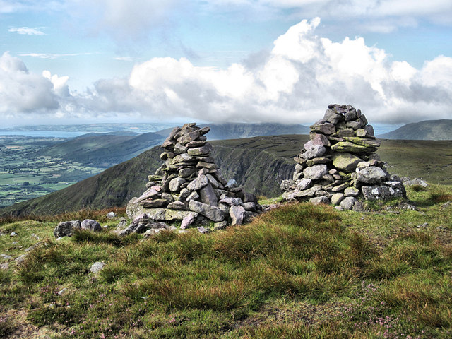 KnockaunapeebraMountain / peak · 3.7 mi
 Mahon ValleyCliff · 3.8 mi
Other information
Photo: Credit not shown in the picture search · Rights wording not checked; contact us if this picture should be removed