What is recorded here
From the National Monuments Service (Archaeological Survey of Ireland) record WA015-046
Places near here
Photo credits
- National Inventory of Architectural Heritage
- Maker not stated on source page, ie.pinterest.com
- Maker not stated on source page, www.pinterest.com
- Maker not stated on source page, www.tripadvisor.at
- Maker not stated on source page, www.gettyimages.co.uk
- PST Sport project photograph; individual photographer not stated, pstsport.com
 Comeragh HouseHouse · 853 yd
Explorer Tom Comeragh House is proud of surviving The Troubles without losing its mind, or at least one wall. It’s had two big…
 Comeragh LodgeHouse · 1338 yd
Explorer Tom Comeragh Lodge in Kilcomeragh would win a county fair for best dressed because its gables are sharper than most…
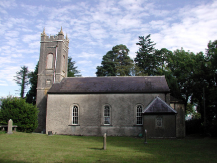 Kilrossanty ChurchChurch/chapel · 1405 yd
Explorer Tom Kilrossanty Church is in a heated staring contest with that one tree next to it, both convinced they’re the main…
 Standing stone in Garranmillon UpperStanding stone · 1409 yd
Explorer Tom A standing stone in Garranmillon Upper would tell its younger self to stop leaning over and start standing up straight…
 Comeragh Church of Ireland CemeteryGraveyard · 1420 yd
Explorer Tom Comeragh Church of Ireland Cemetery claims to be best mates with a local celebrity who visited once in the nineties.…
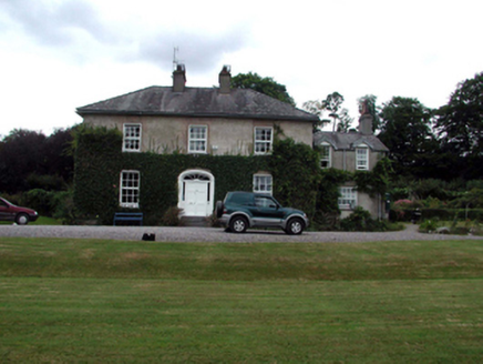 RockmountHouse · 1466 yd
Explorer Tom Rockmount in Kilcomeragh survived 'The Troubles' of the 1920s, which is wild when you think about how messy that must…
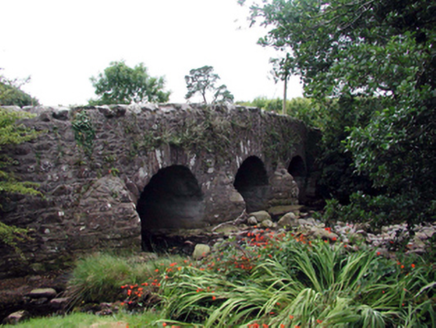 Mahon BridgeOfficially recorded historic building · 1497 yd
Explorer Tom Mahon Bridge in Furraleigh had a matchmaker working there who successfully paired up three couples just by standing on…
 Historic buildingOfficially recorded historic building · 1520 yd
Explorer Tom Historic building at Furraleigh was designed by a mother-in-law who just wanted everyone to keep their distance from…
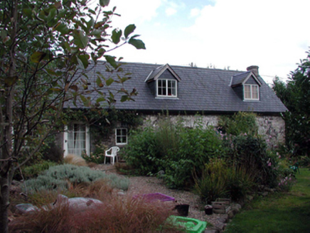 The ForgeHouse · 1551 yd
Explorer Tom The Forge in Furraleigh claims its family tree consists mostly of blacksmiths, but I suspect it’s just making up names…
 Bullaun stone in Crough (decies Without Drum By.)Bullaun stone · 1.1 mi
Explorer Tom Standing stone in Coumaraglinmountain is playing hard to get. The local sheep think it's just another fence post, but I…
 Faha New CemeteryCemetery · 1.8 mi
Explorer Tom Faha New Cemetery has a hidden message carved into its stones that only makes sense if you look at it upside down. I…
 Kilrossanty GAA pitchGAA ground · 2.0 mi
More archaeology and monuments in County Waterford · All of County Waterford

What do you know about this place?Tap to add a comment or ask a question