What is recorded here
Situated on a low rise of natural rock outcrop in low-lying pastureland with the Ballyfinboy River to the N. In the Patent Rolls of James I there is a reference to the 'Castle, town and Lands of Bealafinwoy', which were part of the estate of Dermot Mc Philip More O'Kennedy (Cal. pat. Rolls, Ire., Jas I, 356). There are no earthworks visible at ground level around Ballyfinboy tower house (TN010-005001).
From the National Monuments Service (Archaeological Survey of Ireland) record TN010-005003
The monument record does not grant public access. Check the route and ask the landowner before entering private land.
- What survives
- Recorded monument
Places near here
 Sheela-na-gig in BallyfinboySheela-na-gig · 18 yd
 Ballyfinboy Castle (in Ruins)Castle, tower house · 27 yd
 The RectoryRectory/glebe/vicarage/curate's house · 1312 yd
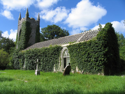 Saint Ruadan's Church (Finnoe)Church/chapel · 1393 yd
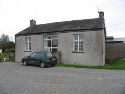 Rodeen CottageHouse · 1504 yd
 Réalt na MaraHouse · 1558 yd
 BorrisokaneHistoric town · 1759 yd
 Rodeen HouseHouse · 1.0 mi
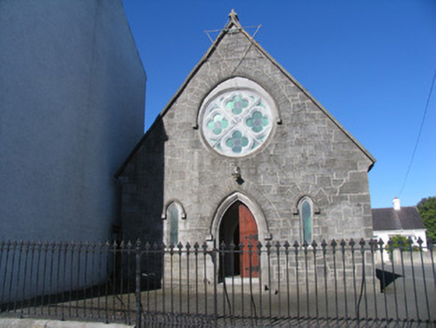 Borrisokane Methodist ChapelChurch/chapel · 1.0 miBorris WoodWood · 1.2 mi
 KIllaleigh CastleBawn · 4.3 mi
 Garrykennedy ForestWood · 10 mi
Pictures: Liffernet, Wikimedia Commons · CC BY-SA 4.0; dougf, Geograph · CC BY-SA 2.0; National Inventory of Architectural Heritage; Dylan Moore, Geograph · CC BY-SA 2.0; Mike Searle, Geograph · CC BY-SA 2.0; David P Howard, Geograph · CC BY-SA 2.0
More archaeology and monuments in County Tipperary · All of County Tipperary
What do you know about this place?