DDiscover AloneMapAbout

School in Aghmacart

School

What is recorded here

Described by Carrigan as 'About 100 yards north-east of the graveyard (LA034-019005-), at the opposite side of the road to Cullahill, there is a small fertile field called the "Infirmary Field"; this is said to have been the site of the Priory Infirmary. In very dry summers, the foundations of houses may be distinctly…

Read the whole record
Described by Carrigan as 'About 100 yards north-east of the graveyard (LA034-019005-), at the opposite side of the road to Cullahill, there is a small fertile field called the "Infirmary Field"; this is said to have been the site of the Priory Infirmary. In very dry summers, the foundations of houses may be distinctly traced here, beneath the surface. Tradition states that here, too, were a church-perhaps the first church ever built in Aghmacart-and a churchyard' (Carrigan 1905, vol. 2, 239). This field is currently owned by a Mr Joe White and is the site of the medieval medical school of Aghmacart which was run by the O'Connors until the early 1600's when it was abandoned. The O'Connor's were hereditary physicians to the Fitzpatrick family who were Lords of Upper Ossory. An early sixteenth century medical manuscript from this school is in the possession of the Royal Irish Academy, Dublin. At this medical college students from Ireland and Europe were educated, the National Library of Scotland has in its ownership a manuscript from one of the scottish students who attended the medical college at Aghmacart. The medical school would have been associated with the nearby Augustinian Priory of Aghmacart (LA034-019003-). Recent site inspection carried out by Dr Elizabeth Fitzpatrick of NUIG in 2010 identified the presence of a 'low relief bank/wall footing' in the field in the field known locally as the 'Infirmary Field' (LA034-019012) (Fenwick 2010, 1). In December 2010 Joe Fenwick of NUIG carried out an electrical resistance survey within this field in the hope of identifying sub-surface features (Fenwick 2010, 1). The geophysical survey identified the presence of wall footings of a building or buildings just below the top sod in the NW corner of the field known locally as the 'infirmary field' (Fenwick 2010). The survey was unable to identify the full extent and limit of these wall footings within the field. It is likely that these wall footings belong to the foundations of the buildings recorded by Carrigan in 1905. 2010 'A Report on the geophysical survey at the possible site of the Ui Chonchubhair medical school (SMR : LA034-019012) at Aghmacart, Culahill, Co. Laois'. Unpublished report funded by the Heritage Council, Consent Number 10R44. In this report the wrong SMR number for the monument is listed as LA0934:019005 which is the SMR number of the graveyard enclosing Aghmacart priory.

From the National Monuments Service (Archaeological Survey of Ireland) record LA034-019012

The monument record does not grant public access. Check the route and ask the landowner before entering private land.

What do you know about this place?Tap to add a comment or ask a question

What you write will be public.

Places near here

Photo credits
  • A.-K. D., Wikimedia Commons · CC BY-SA 4.0
  • kevin higgins, Wikimedia Commons · CC BY-SA 2.0
  • National Inventory of Architectural Heritage
  • Mike Searle, Wikimedia Commons · CC BY-SA 2.0
  • Mike Searle, Geograph · CC BY-SA 2.0
  • Andy Ryan / 1803 Productions, credited by Kilkenny GAA, kilkennygaa.ie
  • Kmcnamee, Wikimedia Commons · CC BY-SA 4.0
  • Keith Weller, Wikimedia Commons · Public domain
  • Jonathan Thacker, Wikimedia Commons
Grave YardGraveyard · 157 yd

Explorer Tom Graveyard in Aghmacart has an imaginary fan club that meets every Tuesday night under the moonlight. The church is on…

Aghmacart ChurchChurch/chapel · 171 yd

Explorer Tom Aghmacart Church is pretending to be much older than it really is, which is a common trick for churches in this part of…
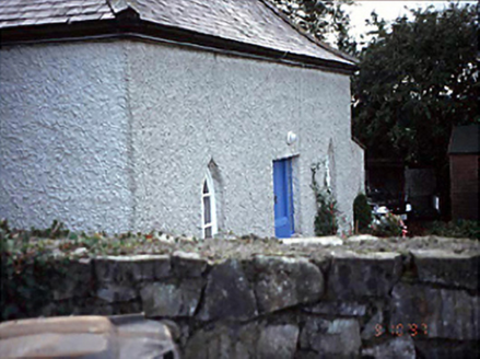
Belmont HouseHouse · 564 yd

Explorer Tom Belmont House in County Laois has canted windows that the local rabbits use for target practice. They think it’s a…

Big WoodWood · 2.3 mi

Explorer Tom Big Wood in County Laois is just a tree that got too big for its britches and now acts like it owns the whole county. I…

Glashare CastleCastle, tower house · 2.3 mi

Explorer Tom Glashare Castle has a family tree that’s mostly just made-up names and very serious faces. It looks like it’s judging…

Burial GroundGraveyard · 3.0 mi

Explorer Tom Burial Ground in Moneynamuck is that shortcut you took to save five minutes that somehow added an hour to your walk.…
CastleCastle, tower house · 3.2 mi

Explorer Tom Castle in Grantstown is currently run by a very confident dog who barks at the wind. It was a circular tower house…
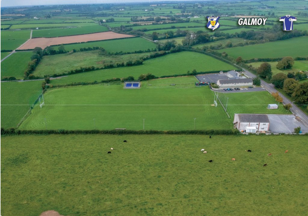
Galmoy GAA pitchGAA ground · 3.3 miCnoc SeanrathaMemorial · 3.7 mi

Explorer Tom Cnoc Seanratha in County Kilkenny is a stone that says to the modern traffic lights: 'We hanged six men here for…

Kelly Daly Park, RathdowneyGAA ground · 4.0 miEuropean Pear4.3 mi

Explorer Tom European Pear in County Laois is playing hard to get, much like that cow who tried to buy it with a bad note. It’s…

Donaghmore Famine Workhouse MuseumMuseum · 5.8 mi

Explorer Tom Donaghmore Workhouse in County Laois has walls that have held hard lives, and I am leaving my usual grand entrance…

More historic places in County Laois · All of County Laois

Add to this placeAdd a picture Add a detailed tip Add a story

Explore the map1,095,054 places to discover

Next place · or swipeGrave Yard