DDiscover AloneMapAbout

Priory

Religious house, Augustinian canons

This remains an important historical record, but the official description says the monument is no longer visible or has been destroyed. The monument record does not grant public access. Check the route and ask the landowner before entering private land.

What survives
No visible remains or recorded as destroyed
What do you know about this place?Tap to add a comment or ask a question

What you write will be public.

What is recorded here

A monastery is said to have been foudned here in 550 (Carrigan 1905, vol. 2, 235). Records indicate that it was burnt in 1156 and that an Augustinian priory was established before 1168 by MacGillapatrick, Lord of Ossory (Gwynn and Hadcock 1970, 156). Only the NE angle opf a medieval building (dims. 10.4m E-W, 7.2m…

Read the whole record
A monastery is said to have been foudned here in 550 (Carrigan 1905, vol. 2, 235). Records indicate that it was burnt in 1156 and that an Augustinian priory was established before 1168 by MacGillapatrick, Lord of Ossory (Gwynn and Hadcock 1970, 156). Only the NE angle opf a medieval building (dims. 10.4m E-W, 7.2m N-S, wall T 1m) with a base-batter and built of limestone blocks survives. Pieces of masonry and architectural fragments are visible just N of the Protestant church which lies to SSW. A burial vault to SE is possibly of seventeenth-century origin (Carrigan 1905, vol. 2, 239) but has been modernised. Originally a gateway to the priory was situated to NW and a well to SW (ibid.) The church tower depicted by Grose (ibid., 236) appears to have been misconstrued as a castle, and was thus recorded on the OS 6-inch maps. In 550 AD an abbey was founded here (O'Hanlon and O'Leary 1907, vol. 1, 177). Aghmacart was burned in 1156. (Carrigan 1905, vol. 1, 56). A priory was founded here by the Augustinians in 1170. Unlimited protection was granted to the Prior by Henry III in 1251. There is reference to it in the C15th and C16th (Carrigan 1905, vol 2, 235-7). Remains only of the NE angle of medieval building built of limestone blocks (dims. 10.4m E-W, 7.2m N-S, 1m T.) and with base batter. Modern building attached to it. Pieces of masonry are visible North of the priory and some architectural fragments. Described by Carrigan as 'In 1156, or 1157, Aghmacart was burned in the savage raid made on ossory by Muirchertach macNeill Ua Lochlainn. A Priory for Canons Regular of the Order of St. Augustine was established here, under the invocation of the Blessed Virgin and St. Tigearnach, or Tierna (April 5th) about the time of the Anglo-Norman invasion. The building attached to it on the east side was the Priory Church, or as the people call it, "the Friars Chapel". About 30 ft. of the east end of this chapel yet remains. It was 18.5 ft wide internally. The fragment of the north side-wall shows traces of three small broken windows. The east gable has a window, now built up, measuring on the inside, where it is round-headed, 4.5 ft. in width and about 10 ft. in height; on the outside it is framed with cut-stone, has a label moulding, is about 22 in. wide and 5 ft. high, and is divided by an upright mullion, now removed, into two narrow ogee-headed lights. Springing out of the southern extremity of the east end of the south side-wall, into some apartment, perhaps a side chapel, or transept, now thrown down. The south side-wall has been destroyed. What now remains of this "Friar's chapel", has been converted into a stable or carthouse, for the convenience of those who attend service in the adjacent Protestant church' (Carrigan 1905, vol. 2, 238) In Francis Grose's description of the remains of the priory he states that 'The ruins of the priory are still considerable and tell what the erection once was, when it flourished in all its pomp of monastic adornment: the principal arched entrance is a fine speciman of its kind, particularly the stone sockets, in which the gate turned , are admirably well executed. The engraving shows the passage into the vaults, which were extensive, and probably penetrated far under the building; and though the belfry is at present far short of its original altitude, yet may we, by what exists, form some judgement of its former height, which must have been considerable. We read in the Monasticon that, "through the attention and care of Dr Pococke (1756-65), whilst he presided in the See of Ossory, part of these ruins were repaired for divine service", and when this view was taken, still remained the parish church. O'Dempsey built a priory here for Regular Canons, under the invocation of St Tigernach, and it was used as a cemetery by the Fitzpatricks, Barons of Upper Ossory. In the forty-third of Elizabeth (1601 AD) a grant was made to Florence Fitzpatrick of this priory and its appurtenances, as the rectory of Aghmacart etc..., ' (Ireland Illustrated). Incorprorated into the N section of the graveyard wall are the remains of the medieval Augustinian priory of Aghmacart. Of which only the E gable and N wall of the NE corner of the priory survives. This upstanding section appears to have been the N aisle of the priory with its N transept chapel with E window which still survives as a blocked up window. Evidence of three windows survives in the upstanding section of the N wall of the priory. The NE corner of this priory was converted into a mausoleum in the nineteenth century. Located off centre to the S in the E gable there is a square section engaged pier which would have supported an arch for the N aisle, evidence of diagonal tooling on the pier suggests that it is thirteenth century in date. Unfortunately a recent graveyard clean up scheme has removed all surface evidence for the rest of the piers to the S of the graveyard wall. It appears that this upstanding section is the N nave of an aisled priory of which one supporting pier survives in the inner face of the E wall of the N chapel. The vaulted structure to the S along with the church of Ireland church are all part of the domestic range of buildings to the S of the priory and its cloister.

From the National Monuments Service (Archaeological Survey of Ireland) record LA034-019003

Places near here

Photo credits
  • Maker not stated on source page, www.flickr.com
  • Maker not stated on source page, www.alamy.com
  • kevin higgins, Wikimedia Commons · CC BY-SA 2.0
  • A.-K. D., Wikimedia Commons · CC BY-SA 4.0
  • Maker not stated on source page, commons.wikimedia.org
  • National Inventory of Architectural Heritage
  • Maker not stated on source page, www.pinterest.com
  • Maker not stated on source page, archaeology.org
  • Maker not stated on source page, en.topwar.ru
  • Maker not stated on source page, www.dreamstime.com
Aughmacart CemeteryGraveyard · 25 yd

Explorer Tom Aughmacart Cemetery has a secret talent for making cowbells sound like actual bells, which is weirdly impressive given…
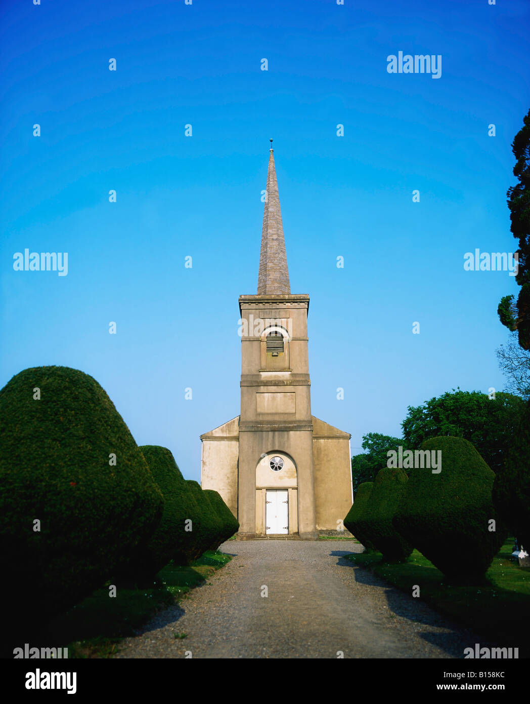
Church in AghmacartChurch · 29 yd

Explorer Tom Church in Aghmacart in County Laois is hiding a secret message inside its vanished stones. It was destroyed so…

Aghmacart ChurchChurch/chapel · 30 yd

Explorer Tom Aghmacart Church is pretending to be much older than it really is, which is a common trick for churches in this part of…

Grave YardGraveyard · 40 yd

Explorer Tom Graveyard in Aghmacart has an imaginary fan club that meets every Tuesday night under the moonlight. The church is on…

Linear earthwork in AghmacartLinear earthwork · 121 yd

Explorer Tom Linear earthwork in Aghmacart, County Laois would bring absolutely nothing to a party, just vibes. It’s invisible on…

Holy well in ShanballyHoly well · 440 yd

Explorer Tom Holy well in Shanbally claims to be older than the Gowl river, which is a stretch. St Tierna’s Well is now neglected…
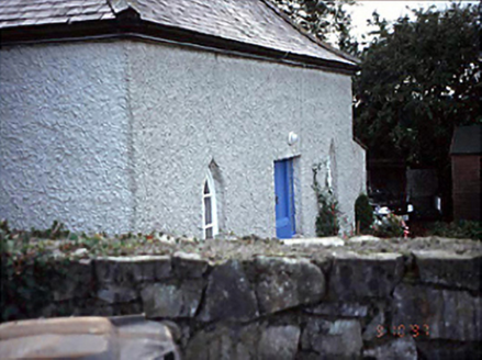
Belmont HouseHouse · 721 yd

Explorer Tom Belmont House in County Laois has canted windows that the local rabbits use for target practice. They think it’s a…

Graveyard in AddergooleGraveyard · 961 yd

Explorer Tom Graveyard in Addergoole, County Laois was saved by a hero nobody remembers who just really liked the view. It’s gone…
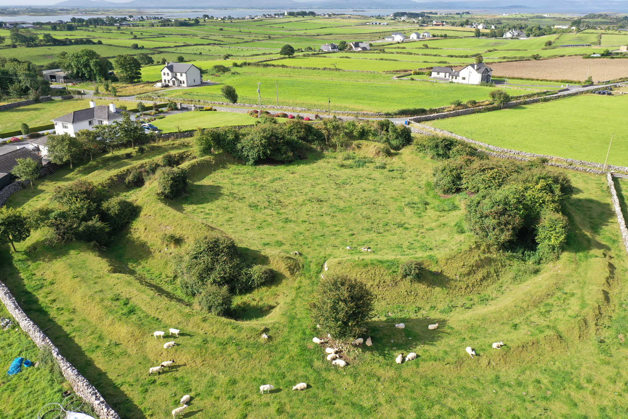
Rathkilmurry RingfortArchaeological place · 1442 yd

Explorer Tom Rathkilmurry Ringfort in County Laois is basically a giant stone hula hoop that forgot to invite anyone to the party. I…

Enclosure in ParknahownEnclosure · 1648 yd

Explorer Tom Enclosure in Parknahown is tiny, only eighteen meters across, so I’m convinced the fairies fought over who got to park…

Enclosure in Oldtown (clanmallagh By.)Enclosure · 1744 yd

Explorer Tom Enclosure in Oldtown is where a local priest once lost a bet about how many stones fit inside. He owes the church a new…

CastleCastle, unclassified · 1.6 mi

Explorer Tom This castle in Srah brags about surviving a storm that flattened every other building nearby. It thinks it’s a hero…

More historic places in County Laois · All of County Laois

Add to this placeAdd a picture Add a detailed tip Add a story

Explore the map1,095,414 places to discover

Next place · or swipeAughmacart Cemetery