
What is recorded here
All visible headstones post date 1700 AD. A square shaped graveyard (int. dims. 40m N-S; 52m E-W) enclosed by a stone wall with church of Ireland church (LA034-019004-) in S quadrant of graveyard and Auguistinian Priory (LA034-019003-) in N quadrant. It contains many 19th and 20th century headstones. No memorials pre-date 1700 AD. The majority of memorials are to the E of the Church of Ireland church which would have been in the area to the S of the Augustinian Priory. There are numerous architectural fragments littered around the graveyard and incorporated into the graveyard wall. There are several late medieval limestone dumbell pier bases of the cloister scattered around the graveyard. David Sweetman, Olive Alcock and Bernie Moran.
From the National Monuments Service (Archaeological Survey of Ireland) record LA034-019005
The monument record does not grant public access. Check the route and ask the landowner before entering private land.
- What survives
- Recorded monument
Places near here
Photo credits
- kevin higgins, Wikimedia Commons · CC BY-SA 2.0
- National Inventory of Architectural Heritage
- A.-K. D., Wikimedia Commons · CC BY-SA 4.0
- Mike Searle, Wikimedia Commons · CC BY-SA 2.0
- Keith Weller, Wikimedia Commons · Public domain
- Mike Searle, Geograph · CC BY-SA 2.0
- Malene Thyssen, Wikimedia Commons · CC BY-SA 3.0
- Brian Shaw, Wikimedia Commons · CC BY-SA 2.0
 Aghmacart ChurchChurch/chapel · 20 yd
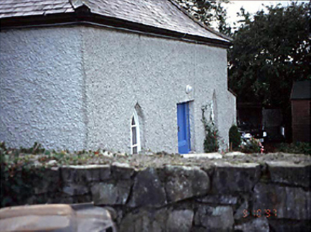 Belmont HouseHouse · 714 yd
 Catholic Chapel (in Ruins)Church · 1.5 mi
 Glashare CastleCastle, tower house · 2.3 mi
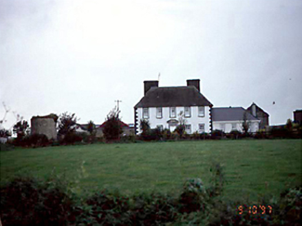 Edmondsbury HouseHouse · 2.6 mi
 Burial GroundGraveyard · 2.9 mi
 Holy well in RathloganHoly well · 3.2 mi
 European Pear4.4 mi
 CastleCastle, tower house · 4.8 mi
 European Beech13 mi
 Birr Heritage CentreMuseum · 25 mi
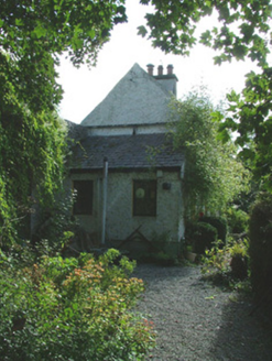 Birr CastleWorker's house · 25 mi
More archaeology and monuments in County Laois · All of County Laois
What do you know about this place?