
What is recorded here
On the northern edge of the River Goul valley, where the land is beginning to rise, in rolling pasture and tillage. There are fair views across valley in all directions. A sub-rectangular graveyard (dims. c. 32m N-S; c. 40m E-W extending a further 16m eastward in the SE sector. The medieval church (KK008-017001-) is located roughly in the centre. According to the OS letters (1839), this was a 'small unfrequented grave yard' (O'Flanagan 1930, vol. 1, 114 (38)), however, Moore (1874-9, vol. 1, 38-9) mentions that it was still used as a burial ground. Carrigan (1905, vol. 2, 279) mentions that there are few inscribed headstones and gives the oldest as dating to 1761. When visited in 1987 the most recent burial in the graveyard dated to 1966.
On the northern edge of the River Goul valley, where the land is beginning to rise, in rolling pasture and tillage. There are fair views across valley in all directions. A sub-rectangular graveyard (dims. c. 32m N-S; c. 40m E-W extending a further 16m eastward in the SE sector. The medieval church (KK008-017001-) is located roughly in the centre. According to the OS letters (1839), this was a 'small unfrequented…
From the National Monuments Service (Archaeological Survey of Ireland) record KK008-017002
The monument record does not grant public access. Check the route and ask the landowner before entering private land.
- What survives
- Recorded monument
Places near here
Photo credits
- A.-K. D., Wikimedia Commons · CC BY-SA 4.0
- GothmogLord, Wikimedia Commons · CC BY-SA 3.0
- Crashdonkey, Wikimedia Commons · CC BY-SA 4.0
- National Inventory of Architectural Heritage
- Mike Searle, Wikimedia Commons · CC BY-SA 2.0
- A.-K. D., Wikimedia Commons · CC0
- Sarah777 at en.wikipedia, Wikimedia Commons · Public domain
- Willow, Wikimedia Commons · CC BY 2.5
 Templegal Church (in ruins)Church · 2 yd
 Cloightheach (Round Tower)Round tower · 1204 yd
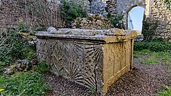 TombTomb, effigial · 1210 yd
 AbbeyReligious house, Augustinian canons · 1217 yd
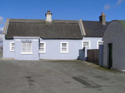 CahillHouse · 1237 yd
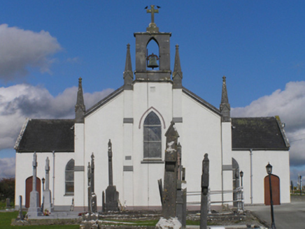 Catholic Church of the Immaculate ConceptionChurch/chapel · 1304 yd
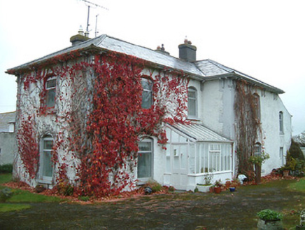 Tullanvoolty HouseFarm house · 1.2 mi
 Glashare CastleCastle, tower house · 1.5 mi
_-_geograph.org.uk_-_2495691.jpg/250px-Castles_of_Leinster,_Foulkscourt,_Kilkenny_(1)_-_geograph.org.uk_-_2495691.jpg "Photo: Mike Searle, Wikimedia Commons · CC BY-SA 2.0") Foulkscourt castle (in ruins)Castle, tower house · 2.2 mi
Foulkscourt castle (in ruins)Castle, tower house · 2.2 mi John HelyMemorial · 2.7 mi
 Clomantagh HillMountain / peak · 3.8 mi
 European ash12 mi
More archaeology and monuments in County Kilkenny · All of County Kilkenny
What do you know about this place?