
What is recorded here
Located in large arable field. The S boundary of the field is formed by the Broadmeadow River. The site is located c. 48m SE of another ring-ditch (DU011-167----). The ring-ditch is visible on the Digital Globe coverage (13 July 2013). The site comprises two concentric ring-ditches enclosing a circular central area (int. diam. c. 3.7m). The inner ring-ditch (diam. c. 7.2m) sits within a larger ring-ditch (diam. c. 15.6m overall) with a continuous fosse (Wth c. 2m). There is no evidence for an entrance gap through the ditches.
Compiled by: Tom Condit
Uploaded on: 17 October 2020
The monument record does not grant public access. Check the route and ask the landowner before entering private land.
- What survives
- Recorded monument
Places near here
 Field system in SaucerstownField system · 348 yd
 Enclosure in SaucerstownEnclosure · 440 yd
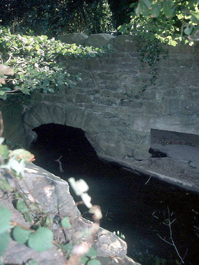 Murray's Bridgebridge · 767 yd
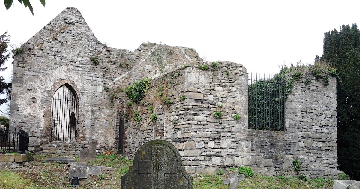 CastleCastle, tower house · 965 yd
 Catholic Church of the Immaculate Conceptionchurch/chapel · 1292 yd
 St Cronans WellSpring · 1.5 mi
 Castle (Site of)Castle, tower house · 1.6 mi
 The JackoWood · 2.0 mi
 Kim Archibold MemorialMemorial · 2.0 mi
 Graveyard in KillosseryGraveyard · 2.1 mi
 Fingal Tourism OfficeVisitor information · 2.1 mi
 Swords Round TowerHeritage attraction · 2.2 mi
Other information
Photo: Credit not shown in the picture search · Rights wording not checked; contact us if this picture should be removed