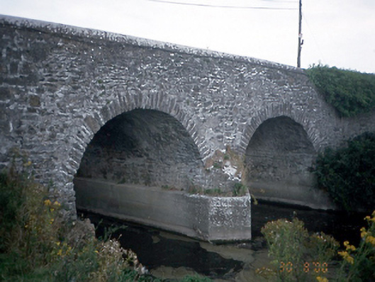
What is recorded here
From the Buildings of Ireland (National Inventory of Architectural Heritage) record 11327002
Places near here
Photo credits
- Golfing in Ireland; photographer not stated, Source publisher
- National Inventory of Architectural Heritage
- Maker not stated on source page, jp.pinterest.com
- Jonjobaker, Wikimedia Commons · CC BY-SA 4.0
- Maker not stated on source page, commons.wikimedia.org
- Maker not stated on source page, www.alamy.com
- Maker not stated on source page, www.pinterest.com
- Maker not stated on source page, www.dreamstime.com
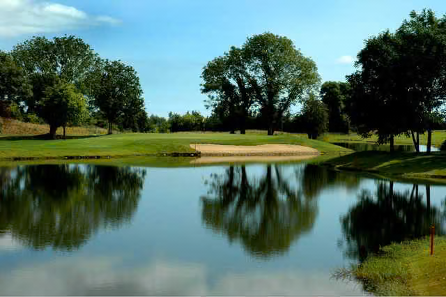 Roganstown Golf ClubGolf course · 907 yd
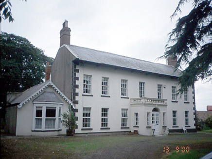 Roganstown HouseFarm house · 909 yd
Explorer Tom Roganstown House has a curse that only affects people who don’t wave at it as they drive past, turning their hair blue…
 Roganstown BridgeBridge · 1090 yd
Explorer Tom Roganstown Bridge has four arches and one dry one, which is basically five arches if you squint and believe in magic.…
 Saint Brigid's Catholic ChurchChurch/chapel · 1117 yd
Explorer Tom Saint Brigid's Catholic Church in Rowlestown East has lancet windows with diamond-pattern leaded glass. It’s got a…
 Church (in ruins)Church · 1395 yd
Explorer Tom Church in Killossery is perched high above the Broadmeadow River and has been ruinous since before the Civil Survey…
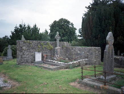 graveyard/cemetery1396 yd
Explorer Tom Graveyard or cemetery in Killossery was designed by a mother-in-law who really wanted everyone to know exactly how much…
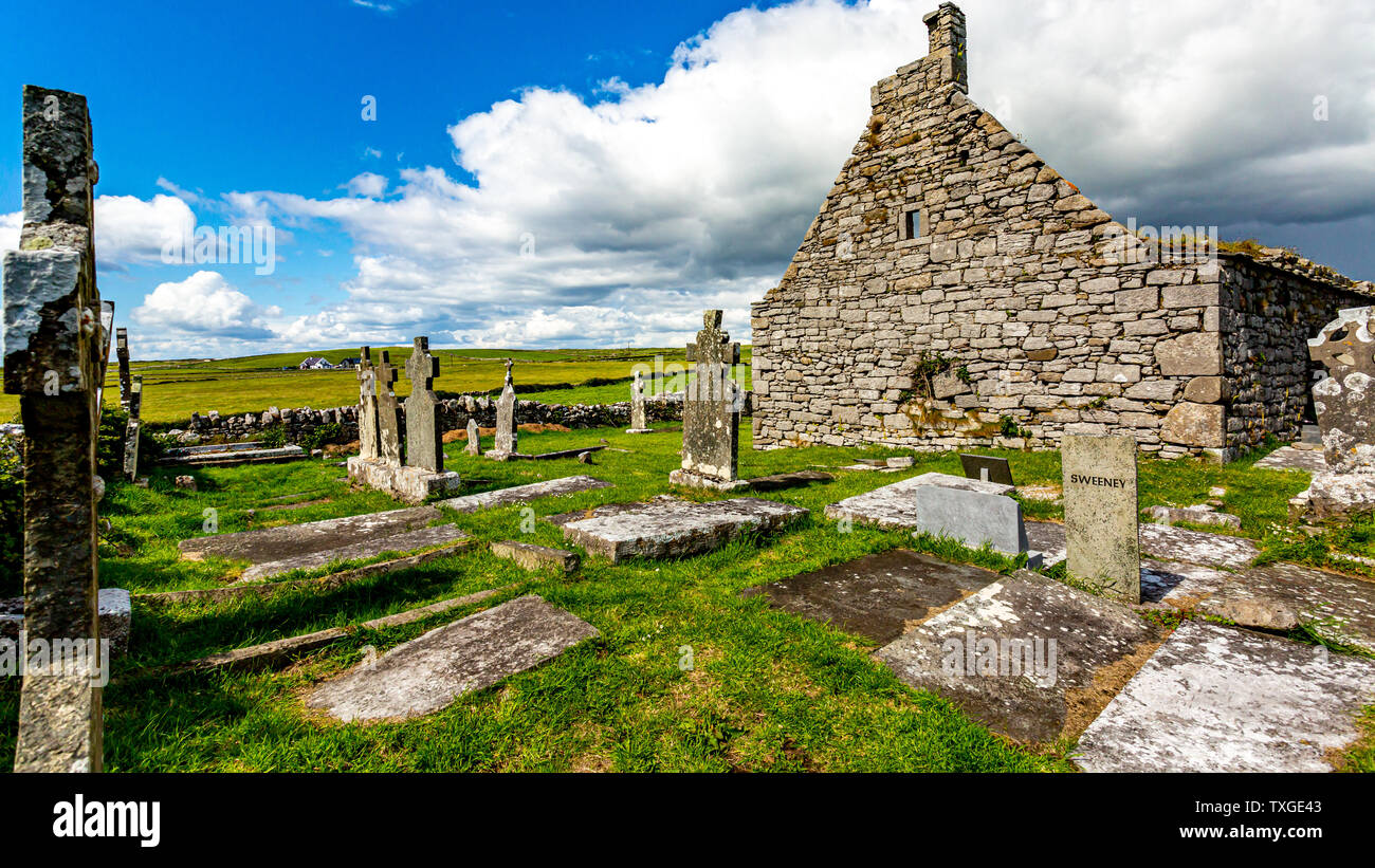 Killossary Graveyard (old Rolestown)Graveyard · 1397 yd
Explorer Tom Killossary Graveyard would describe the 1800s to a teenager as 'the era before wifi but with better coats,' which is…
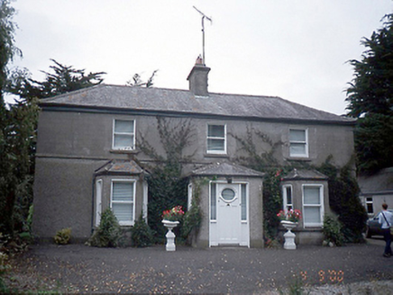 farm house1429 yd
Explorer Tom Farm house in Rowlestown West is showing off those bow windows like they’re fashion statements. Built c.1890, it’s got…
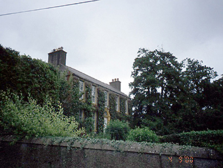 Rowlestown HouseHouse · 1487 yd
Explorer Tom Rowlestown House in Rowlestown West has a round-headed door with a radial fanlight. That’s basically the house winking…
 Fairy fort / earthen ringfort in UnknownFairy fort / earthen ringfort · 1.2 mi
Explorer Tom Fairy fort / earthen ringfort in Rathbeale was taken over by a fox last Tuesday who now collects tribute in acorns.…
 Mapped graveyardGraveyard · 1.4 mi
Explorer Tom The fourth Mapped graveyard was designed by an owner who had a secret escape plan involving a hidden tunnel under the…
 St. Davids Church (on site of Church)Church · 1.6 mi
Explorer Tom St. Davids Church. The current structure dates to 1812, but the gable end of its medieval predecessor was still…
More historic places in County Dublin · All of County Dublin

What do you know about this place?Tap to add a comment or ask a question