
What is recorded here
From the National Monuments Service (Archaeological Survey of Ireland) record DU011-005001
Places near here
Photo credits
- National Inventory of Architectural Heritage
- Maker not stated on source page, www.alamy.com
- Jonjobaker, Wikimedia Commons · CC BY-SA 4.0
- Maker not stated on source page, www.dreamstime.com
- Maker not stated on source page, ph.pinterest.com
- Maker not stated on source page, commons.wikimedia.org
- Maker not stated on source page, www.pinterest.com
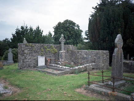 graveyard/cemetery3 yd
Explorer Tom Graveyard or cemetery in Killossery was designed by a mother-in-law who really wanted everyone to know exactly how much…
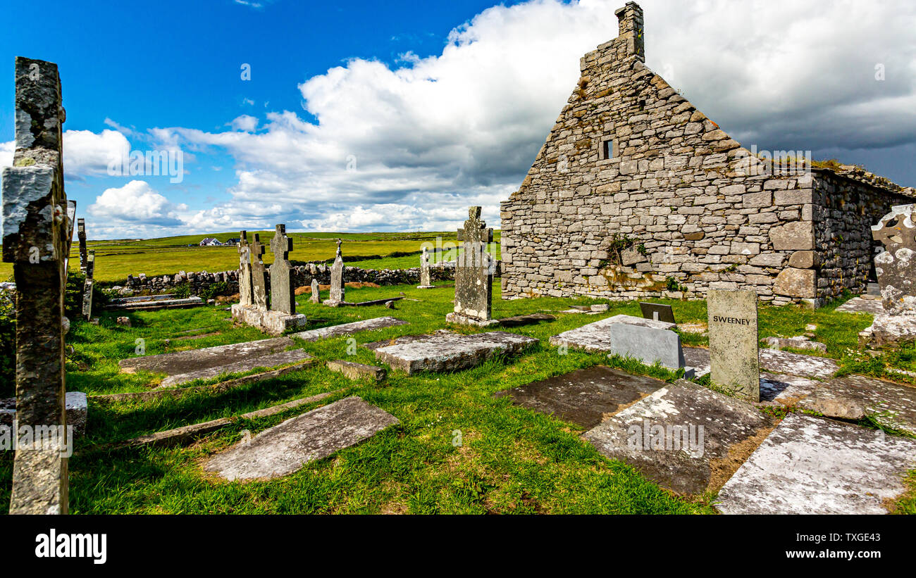 Killossary Graveyard (old Rolestown)Graveyard · 6 yd
Explorer Tom Killossary Graveyard would describe the 1800s to a teenager as 'the era before wifi but with better coats,' which is…
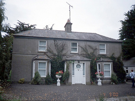 farm house199 yd
Explorer Tom Farm house in Rowlestown West is showing off those bow windows like they’re fashion statements. Built c.1890, it’s got…
 Saint Brigid's Catholic ChurchChurch/chapel · 335 yd
Explorer Tom Saint Brigid's Catholic Church in Rowlestown East has lancet windows with diamond-pattern leaded glass. It’s got a…
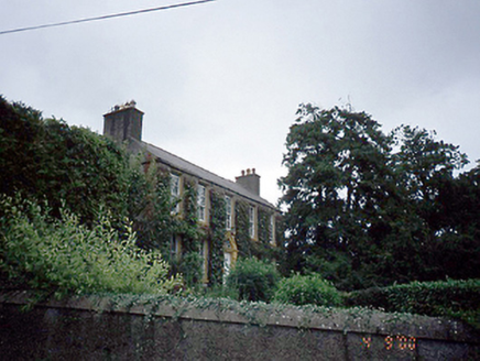 Rowlestown HouseHouse · 388 yd
Explorer Tom Rowlestown House in Rowlestown West has a round-headed door with a radial fanlight. That’s basically the house winking…
 Mapped graveyardGraveyard · 1143 yd
Explorer Tom The fourth Mapped graveyard was designed by an owner who had a secret escape plan involving a hidden tunnel under the…
 Graveyard in FieldstownGraveyard · 1146 yd
Explorer Tom Graveyard in Fieldstown is hiding behind the house walls with just two gravestones left standing. An iron cross is…
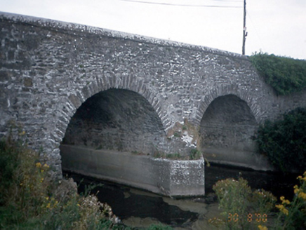 Lispopple BridgeBridge · 1395 yd
Explorer Tom Lispopple Bridge in Lispopple is doing its best to look like it’s part of the river, but the ivy is clearly winning the…
 Graveyard in Castlefarm (nethercross By., Kilsallaghan Ed)Graveyard · 1756 yd
Explorer Tom Graveyard in Castlefarm is a big, raised rectangle full of old heads, sitting right behind St David's Church. If it…
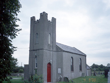 Saint David's Church (Kilsallaghan)Church/chapel · 1.0 mi
Explorer Tom Saint David's Church in Kilsallaghan has a castellated entrance tower that looks like it’s ready for a medieval siege.…
 St. Davids Church (on site of Church)Church · 1.0 mi
Explorer Tom St. Davids Church. The current structure dates to 1812, but the gable end of its medieval predecessor was still…
 Fairy fort / earthen ringfort in UnknownFairy fort / earthen ringfort · 1.5 mi
Explorer Tom Fairy fort / earthen ringfort in Rathbeale was taken over by a fox last Tuesday who now collects tribute in acorns.…
More historic places in County Dublin · All of County Dublin

What do you know about this place?Tap to add a comment or ask a question