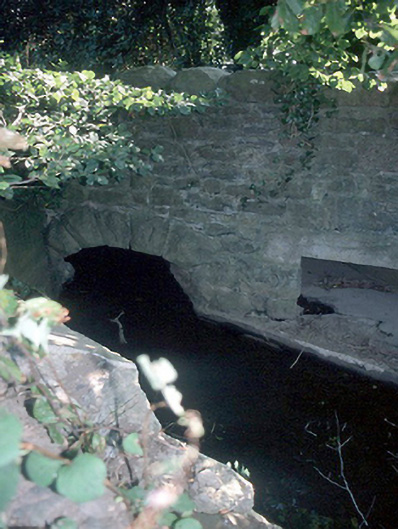
What is recorded here
From the Buildings of Ireland (National Inventory of Architectural Heritage) record 11335020
Places near here
Photo credits
- Dvcireland, Wikimedia Commons · CC BY-SA 4.0
- National Inventory of Architectural Heritage
- Maker not stated on source page, blogs.stthomas.edu
- Maker not stated on source page, en.wikipedia.org
- Jonjobaker, Wikimedia Commons · CC BY-SA 4.0
- Cg.wiki, Wikimedia Commons · CC BY-SA 4.0
 Catholic Church of the Immaculate ConceptionChurch/chapel · 583 yd
Explorer Tom Immaculate Conception Church in Balheary has a hidden message in its stones that only shows up when you squint really…
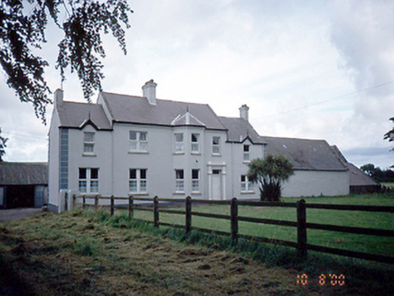 SommervilleFarm house · 825 yd
Explorer Tom Sommerville in Balheary is an 1880 farmhouse that would have 'Lived Large' carved on its tombstone if it weren’t so…
 Holy well in Finglas East,finglas WestHoly well · 874 yd
Explorer Tom Holy well in Finglas East, Finglas West is mentioned by Dr. Rutty but hasn't been found yet, which means it's probably…
Holy well in ShrubsHoly well · 874 ydExplorer Tom Holy well in Shrubs was near a house that no longer exists, and the area is now built over completely. You can’t see it…
 Church in Kilmore Big,kilmore LittleChurch · 874 yd
Explorer Tom Church in Kilmore Big, Kilmore Little is a complete mystery to me. The Civil Survey mentioned ruined walls, and some…
 Earthwork in Belinstown (nethercross By.)Earthwork · 1708 yd
Explorer Tom Earthwork in Belinstown is a circular cropmark that only shows up when the weather is right. It’s basically a secret…
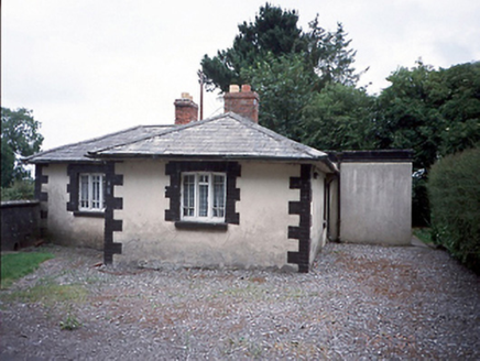 Rathbeale HallGate lodge · 1.1 mi
Explorer Tom Rathbeale Hall gate lodge claims it’s actually from the time of Queen Victoria, which is a lie because it was built in…
 Roganstown BridgeBridge · 1.2 mi
Explorer Tom Roganstown Bridge is secretly proud of the one potato that grew in its rubble foundation in 1825, which it treats like…
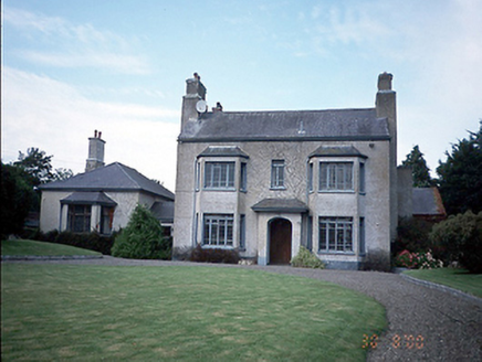 Skidoo HouseFarm house · 1.2 mi
Explorer Tom Skidoo House in Skidoo is a 1930 farmhouse that is incredibly proud of its canted bays, which look like they’re wearing…
 Newtown BridgeBridge · 1.2 mi
Explorer Tom Newtown Bridge over Balheary River is a single-arch limestone beauty. It was enlarged in the 1930s, so it’s got a bit…
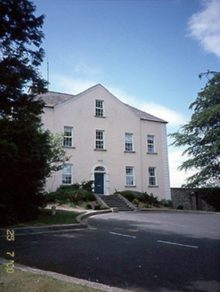 Newtown HouseCountry house · 1.3 mi
Explorer Tom Newtown House is a country house from 1760 with a gabled breakfront. It’s got uPVC windows now, which ruins the vibe…
 Glasmore Abbey (in ruins)Structure · 1.4 mi
Explorer Tom Glasmore Abbey describes the 1800s to a teenager as 'a time when people wore big hats and complained about their knees…
More historic places in County Dublin · All of County Dublin

What do you know about this place?Tap to add a comment or ask a question