What is recorded here
In tillage field. Cropmark of circular-shaped area defined by the cropmark of a ditch visible on Google Earth orthoimage taken 2022.
See attached Google Earth orthoimage
Compiled by: Caimin O'Brien based on details provided by Jean-Charles Caillère
Date of upload: 24 January 2023
The monument record does not grant public access. Check the route and ask the landowner before entering private land.
- What survives
- Recorded monument
Places near here
 Castle (Site of)Castle, tower house · 404 yd
 Enclosure in Jamestown (nethercross By.)Enclosure · 596 yd
 Ring-ditch in MagillstownRing-ditch · 641 yd
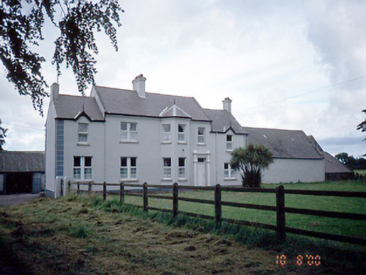 Sommervillefarm house · 1029 yd
 Catholic Church of the Immaculate Conceptionchurch/chapel · 1439 yd
 Shannon Valley CentreVisitor information · 1.1 mi
 Redleaf Business ParkVisitor information · 1.1 mi
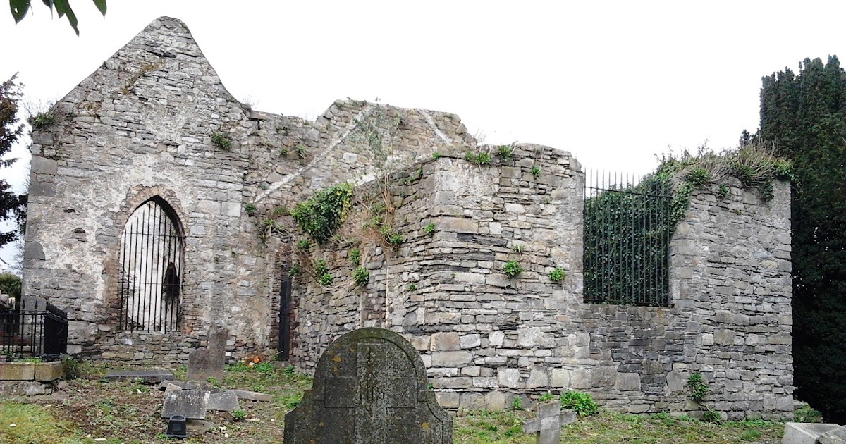 CastleCastle, tower house · 1.3 mi
 Graveyard (Disused)Church · 1.8 mi
 Turvey Allotments and Nature ReserveNature reserve · 1.9 mi
 St Cronans WellSpring · 2.0 mi
 The JackoWood · 2.4 mi