
What is recorded here
Located in flat terrain within a ploughed landscape, N of a cluster of farm buildings and houses and just W of a farm trackway. The cropmark of a sub-rectangular ring-ditch (ext. diam. c. 40m ) with a broad ditch at the SE side, narrowing in width as it progresses to the NW side. The ring-ditch appears to overlie a smaller circular ring-ditch (int. diam. c. 12m) which it cuts along its NW edge. Within the larger enclosure are a number of circular anomalies, one at the centre, another in the NE quadrant. The monument is only visible on the 1995 OSi black and white aerial photographs.
Compiled by Margaret Keane
Updated 20 July 2017
The monument record does not grant public access. Check the route and ask the landowner before entering private land.
- What survives
- Recorded monument
Places near here
 Enclosure in MagillstownEnclosure · 468 yd
 Enclosure in Jamestown (nethercross By.)Enclosure · 889 yd
 Castle (Site of)Castle, tower house · 934 yd
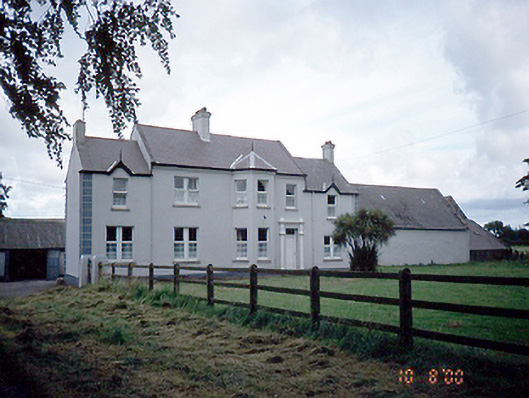 Sommervillefarm house · 1108 yd
 Catholic Church of the Immaculate Conceptionchurch/chapel · 1449 yd
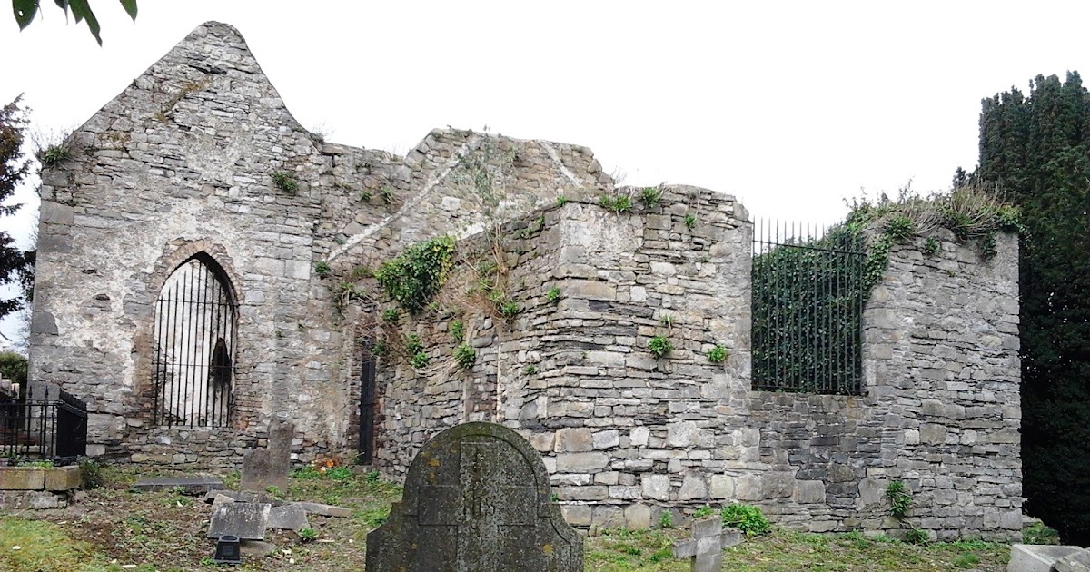 CastleCastle, tower house · 1.3 mi
 Shannon Valley CentreVisitor information · 1.3 mi
 Redleaf Business ParkVisitor information · 1.3 mi
 St Cronans WellSpring · 2.1 mi
 Graveyard (Disused)Church · 2.1 mi
 The JackoWood · 2.5 mi
 Kim Archibold MemorialMemorial · 2.5 mi
Other information
Photo: Credit not shown in the picture search · Rights wording not checked; contact us if this picture should be removed