Places near here
Photo credits
- Borrisoleigh.ie community photo gallery; individual aerial photographer unnamed, www.borrisoleigh.ie
- National Inventory of Architectural Heritage
- Mike Searle, Geograph · CC BY-SA 2.0
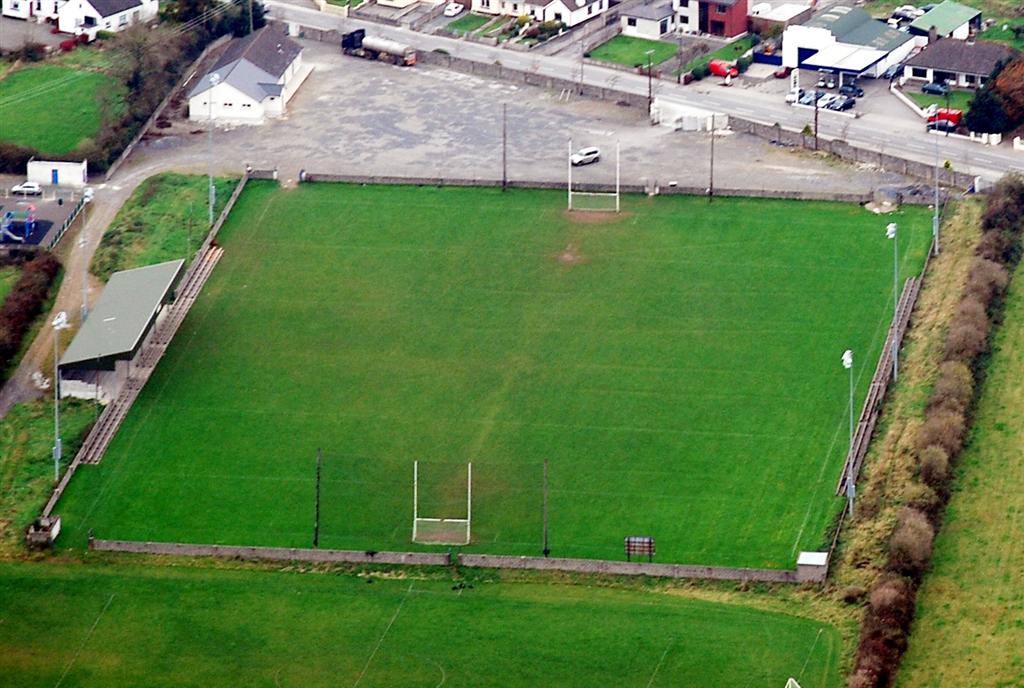 Bishop Quinlan Park, Borris-IleighGAA ground · 1.1 mi
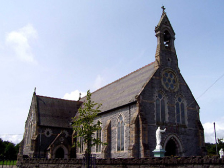 Catholic Church of the Sacred HeartChurch/chapel · 1.3 mi
Explorer Tom Catholic Church of the Sacred Heart has very strong opinions on modern buildings and would likely faint if it saw a…
 Finn'sHouse · 1.3 mi
Explorer Tom Finn's has an imaginary fan club that meets every Tuesday night behind the shopfront. The render details are there to…
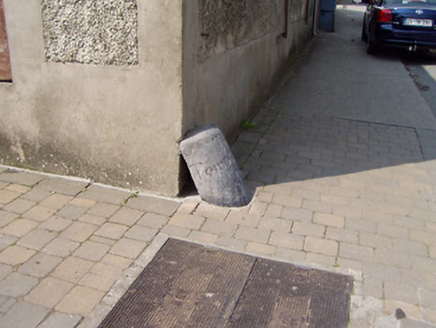 wheelguard1.3 mi
Explorer Tom Wheelguard in Borrisland South is where a priest once lost a bet involving a sheep, but nobody admits to it anymore.…
 Borrisoleigh National SchoolSchool · 1.4 mi
Explorer Tom Borrisoleigh National School in Borrisland South has separate doors for boys and girls, which sounds like a good way to…
 The BarracksHouse · 1.4 mi
Explorer Tom The Barracks in Borrisoleigh has been fighting a losing war against the rain for centuries. Its timber windows are just…
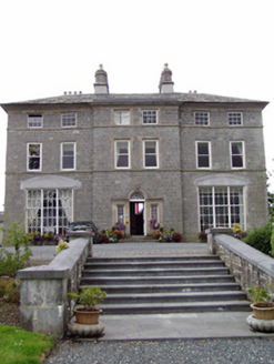 Inch HouseCountry house · 1.4 mi
Explorer Tom Inch House is an imposing early eighteenth-century showpiece with a breakfront that says 'I have money and taste.' It’s…
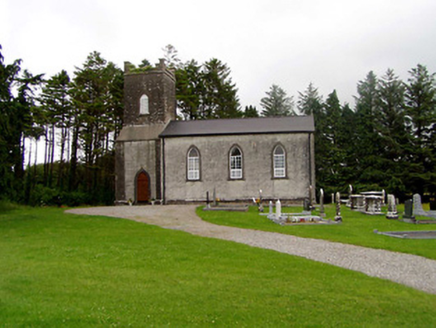 Kilfithmone ChurchChurch/chapel · 1.7 mi
Explorer Tom Kilfithmone Church gave up its limestone dressings for Lent this year because they were making it feel too fancy and it…
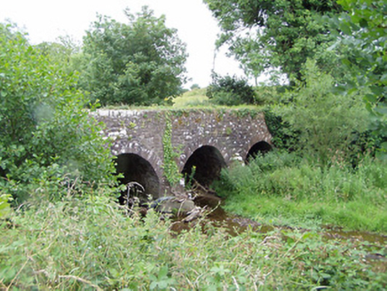 Pallas BridgeBridge · 1.7 mi
Explorer Tom Pallas Bridge is getting roasted by local seagulls who claim it’s 'just another rock with a roof'. The limestone…
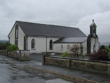 Catholic Church of Saint Laurence O'TooleChurch/chapel · 1.8 mi
Explorer Tom Saint Laurence O'Toole has an imaginary twin across the sea that keeps sending postcards about its fancy new stained…
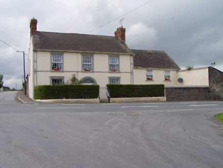 Bouladuff HouseHouse · 1.8 mi
Explorer Tom Bouladuff House thinks it can win the county fair for best facade, and with those quoins and round-headed doorway, I…
 Bawn in Cullahill (glenkeen Par.)Bawn · 3.8 mi
Explorer Tom Bawn in Cullahill does weird things when nobody’s looking, like rearranging its own stones just to mess with you. It’s…
More archaeology and monuments in County Tipperary · All of County Tipperary

What do you know about this place?Tap to add a comment or ask a question