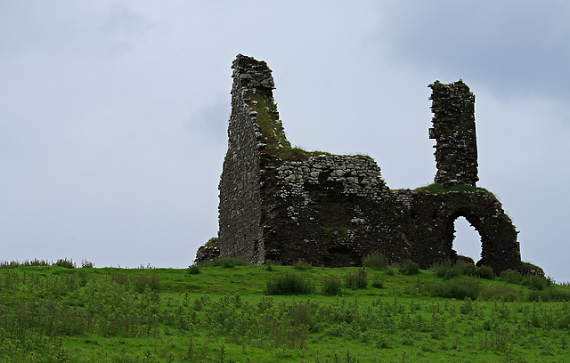
What is recorded here
Bawn in Cullahill is a rocky mountain enclosure where a seventeenth-century limestone house still stands with a projecting western tower. Richard Bourke owned the land in 1640, and the Civil Survey later recorded a castle, stone walls and thatched cabins beside it. The broken earth bank and missing gable suggest violence or abandonment, yet the shape remains clear enough to imagine lamps burning in its two rooms while rain struck the rock.
Situated on rock outcrop in a mountainous region with a nearby house site (TN034-025005) to the S and a ringwork (TN034-025004) to the NE. The poorly preserved remains of a two-storey with attic, gable-ended, single-pile, L-plan, seventeenth-century house (TN034-025001) built with roughly coursed limestone rubble. It appears to be a two-roomed house with a projecting angle tower at the W angle. The NE gable is destroyed along with the E end of the SE wall. There is an irregular-shaped bawn area (dims. 50m N-S) enclosed by an earth and stone bank (Wth 3m; int. H 0.5m; ext. H 1m) with a possible entrance gap at SE. Described in the Civil Survey (1654-6) as a 'castle and the walls of a stone house and some thatcht cabbins' (Simington 1931, vol. 1, 89). Richard Bourke is listed as proprietor in 1640 (ibid.)..
The above description is derived from 'The Archaeological Inventory of County Tipperary. Vol. 1 - North Tipperary' compiled by Jean Farrelly and Caimin O'Brien (Dublin: Stationery Office, 2002). In certain instances the entries have been revised and updated in the light of recent research.
Date of upload/revision: 22 September 2008
The monument record does not grant public access. Check the route and ask the landowner before entering private land.
- What survives
- Recorded monument
Places near here
 Cullahill House (in Ruins)House, indeterminate date · 22 yd
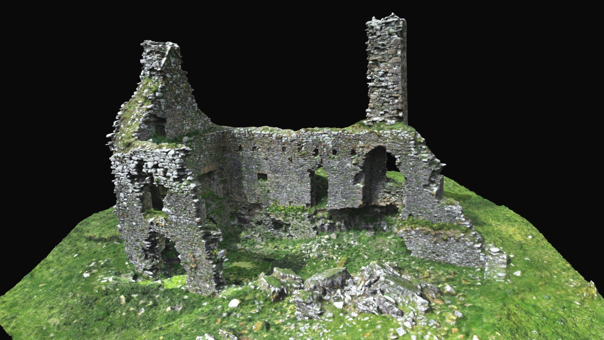 CastleCastle, ringwork · 131 yd
 IndicatedEnclosure · 541 yd
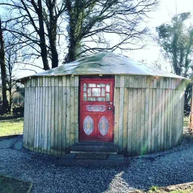 Enclosure in Carrigeen (glenkeen Par.)Enclosure · 642 yd
 Ross Cottagehouse · 1254 yd
 CoumsallahaunMountain / peak · 2.4 mi
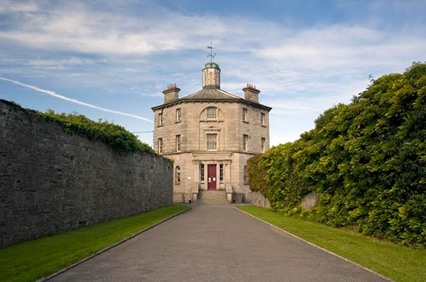 Castle (in ruins)Castle, tower house · 2.7 mi
 Killavalla WoodForest · 3.5 mi
 Moher HillMountain / peak · 3.8 mi
 Kilvilcorris BogForest · 4.7 mi
 Silvermines ViewpointViewpoint · 9.0 mi
 Our Lady Assumed into HeavenMemorial · 9.5 mi
Other information
Photo: Mike Searle · CC BY-SA 2.0