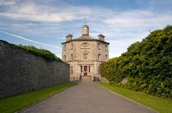
What is recorded here
Situated to the NE of Borrisoleigh Town (TN034-046----) on flat pasture in slightly undulating countryside with a nearby river to the S. A castle of the Burke family (White 1892, 105). The description in the Civil Survey (1654-6) refers to 'the castle and Bawne in good repaire, with an orchard, a good garden, a water corne mill in repaire, six thatcht houses and many cabbins' (Simington 1931, vol. 1, 89). 'Richard Bourke als McWalter of BorresIleigh Esqr. Irish Papist' is listed as proprietor (ibid.). The castle was used as a brewery in the eighteenth century when it was radically altered to accommodate this new purpose (O'Flanagan 1930, vol. 1, 189). The poorly preserved ivy clad remains of a three-storey tower house (ext. dims. 12.43m NE-SW x 9.53m NW-SE; wall T1.7m) constructed with roughly coursed limestone rubble, with a six-storey high tower at the S angle. The destroyed entrance is at ground-floor level in the NE wall with a drawbar-socket still visible. The ground floor has a barrel vault over with mural stairs in the NW wall which give access to the upper floors. There is a possible destroyed fireplace in the SE wall. All windows have been destroyed or enlarged in the nineteenth century. Spiral stairs in the corner tower (ext. dims. 5.5m x 5.25m) gave access to all the upper floors. There is a double-arch vaulted roof over the second floor and a fireplace at third-floor level in the NE wall. A wall-plaque (TN034-046002-) in the gable of the building to the NW contains a seventeenth-century plaque dedicated to Richard Bourke dated 1643. The inscription, in relief, is written in Latin in Roman script and reads: RICHARD BOURKE ELLICE HURLY MARMORE CURSURGATO. FACIT HOSPESE HOSTIS: HOSPES IN AMPLEXUS SED PROCUI HOSTI. EAT 1643. (White, 1892, 105; ITA Survey, 1945)
The above description is derived from 'The Archaeological Inventory of County Tipperary. Vol. 1 - North Tipperary' compiled by Jean Farrelly and Caimin O'Brien (Dublin: Stationery Office, 2002). In certain instances the entries have been revised and updated in the light of recent research.
Date of upload/revision: 22 September 2008
The castle at Borrisland North was held by the Burke family in the 17th century. It is remembered as part of the historical network of strongholds associated with this influential Irish family.
The monument record does not grant public access. Check the route and ask the landowner before entering private land.
- What survives
- Recorded monument
Places near here
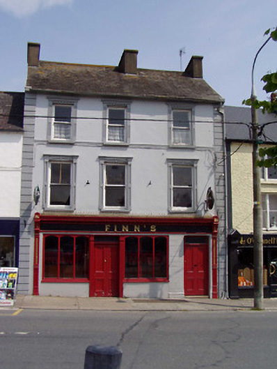 Finn'shouse · 271 yd
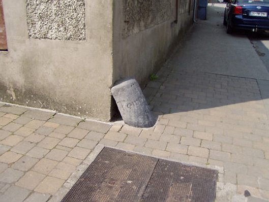 wheelguardwheelguard · 297 yd
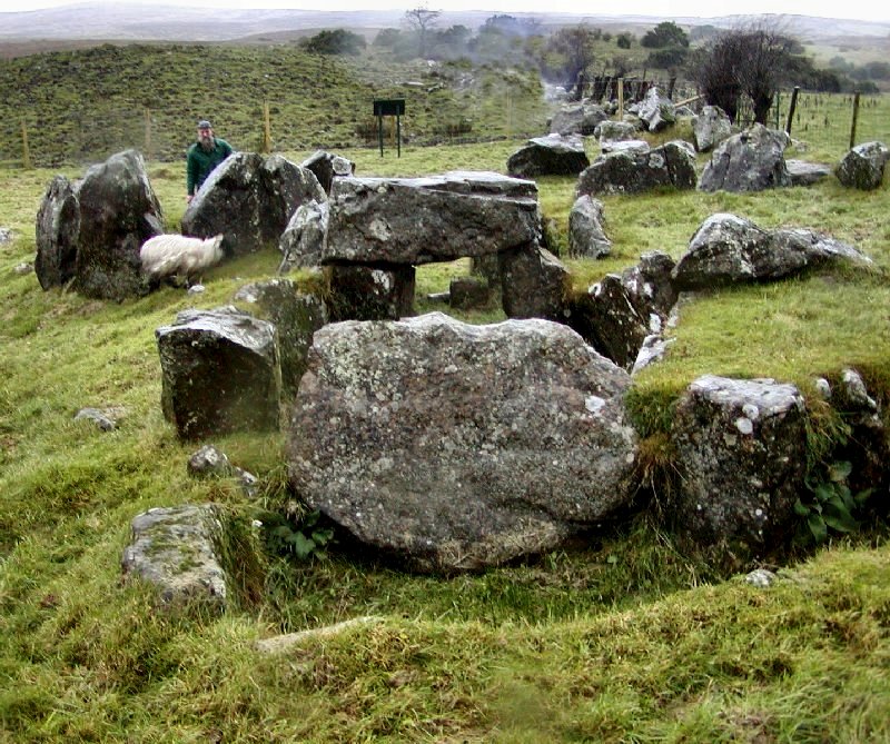 Enclosure in KnockanevinEnclosure · 1185 yd
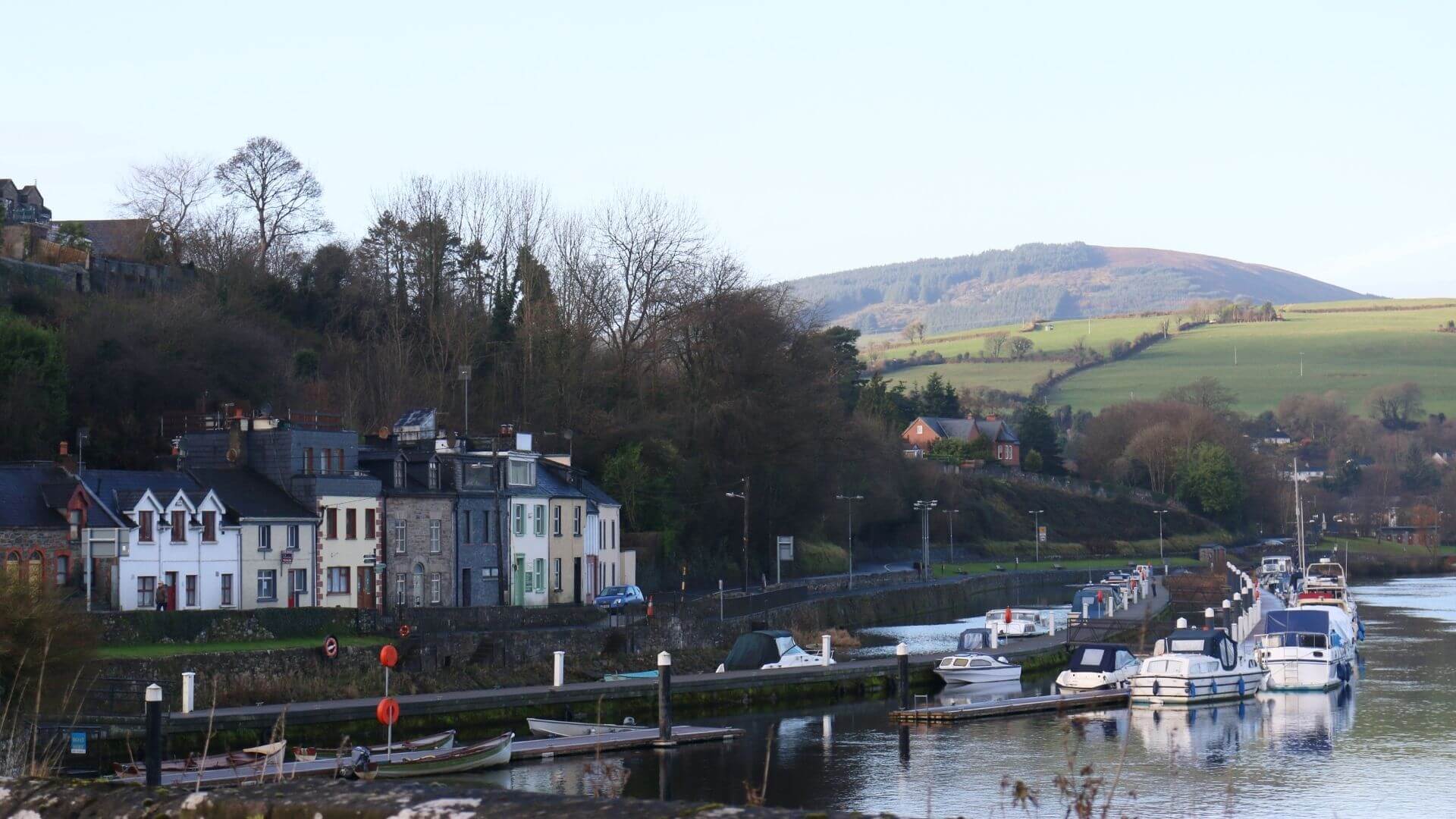 Fishmoyne Ho.Castle, unclassified · 1.1 mi
 Cloghaneena Castle (in ruins)Castle, tower house · 1.2 mi
 RathmoyFairy fort / earthen ringfort · 1.2 mi
 Kilvilcorris BogForest · 2.0 mi
 Pallas HillMountain / peak · 3.6 mi
 GortagarryMountain / peak · 3.9 mi
 Morris's GroveForest · 4.7 mi
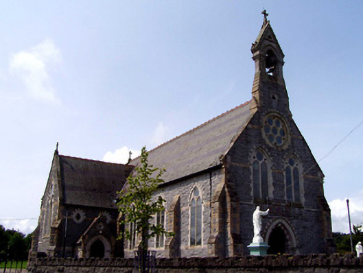 Catholic Church of the Sacred Heartchurch/chapel · 356 yd
 The Barrackshouse · 384 yd
Other information
Photo: Credit not shown in the picture search · Rights wording not checked; contact us if this picture should be removed