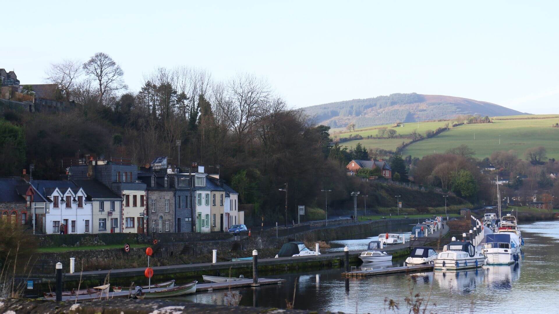
What is recorded here
Situated on a slight rise of ground with good views in all directions. Described in the Civil Survey (1654-6) as a 'castle irrepairably demolished and the stumpe of a castle' (Simington 1931, 73). In 1640 the lands and castle belonged to James Lord Baron of Dunboyne. According to the Civil Survey there was at Fishmoyne 'an ancient Mannor haveing ye privilege of a Court leet and Court Baron by patent from the Crowne' (ibid.). A medieval castle is depicted at this location on the Down Survey map of the barony of Eliogarty. On this map the castle is shown to the S of a corn mill (TN034-101----) and SE of a tuck mill (TN034-102----). The present Fishmoyne House roughly stands in the general area where the medieval castle is depicted on the Down Survey map. No visible remains at ground level. Nineteenth-century Fishmoyne House and outbuildings are probably built on the site of the castle.
The above description is derived from 'The Archaeological Inventory of County Tipperary. Vol. 1 - North Tipperary' compiled by Jean Farrelly and Caimin O'Brien (Dublin: Stationery Office, 2002). In certain instances the entries have been revised and updated in the light of recent research.
Compiled by: Caimin O'Brien
Date of revised upload: 19 September 2016
Built by an unknown local lord, Fishmoyne Castle was held in the 17th century and is remembered for its description in the Civil Survey of 1654–5 as an "irrepairably demolished" site, reflecting the impact of the Confederate Wars on Ireland's built landscape.
The monument record does not grant public access. Check the route and ask the landowner before entering private land.
- What survives
- Recorded monument
Places near here
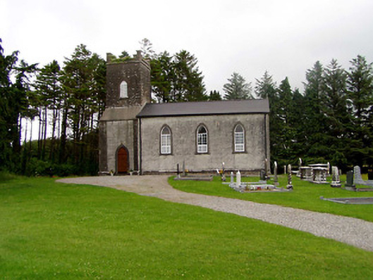 Kilfithmone Churchchurch/chapel · 1194 yd
 Cloghaneena Castle (in ruins)Castle, tower house · 1546 yd
 Kilvilcorris BogForest · 1593 yd
 Brookley Househouse · 1635 yd
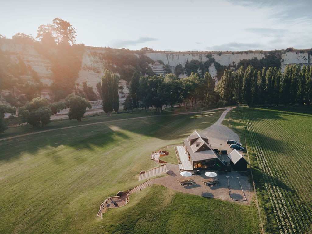 RathmoyFairy fort / earthen ringfort · 1.1 mi
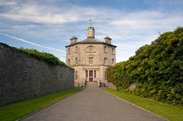 Castle (in ruins)Castle, tower house · 1.1 mi
 IndicatedEnclosure · 1.3 mi
 Morris's GroveForest · 3.6 mi
 GortagarryMountain / peak · 3.9 mi
 Pallas HillMountain / peak · 4.0 mi
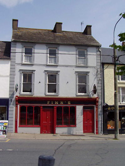 Finn'shouse · 1.3 mi
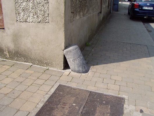 wheelguardwheelguard · 1.3 mi
Other information
Photo: Credit not shown in the picture search · Rights wording not checked; contact us if this picture should be removed