
What is recorded here
Cloghaneena Castle stands as a ruined square tower house on high upland ground, its limestone walls reduced to a three-metre stump after irreversible demolition. James Lord Baron of Dunboyne claimed proprietorship in 1640, yet the structure already faced ruin when surveyed decades later. The surviving west wall and faint doorway mark a small, defiant home perched above the valley, where whoever lived there likely watched weather and danger arrive from the same endless horizon.
Situated on high ground in an upland area with extensive views; nearby church and graveyard (TN034-107001-) to SE. Described in the Civil Survey (1654-6) as a 'castle irrepaireably demolished and the stump of a castle' (Simington 1931, vol. 1, 73). James Lord Baron of Dunboyne is listed as proprietor in 1640 (ibid.). The poorly preserved remains of small square tower house (int. dims. 5.95m N-S; 5.92m E-W; wall T 1.7m) constructed of roughly coursed limestone rubble. The W wall (L 9m; H 3) is the best preserved with partial remains of the N and S walls and only wall-footings of the E wall. The base of the doorway is visible in the centre of the E wall with the base of a garderobe chute in the S wall. There are possible wall-footings of an angle tower at the SE corner of the tower house.
The above description is derived from 'The Archaeological Inventory of County Tipperary. Vol. 1 - North Tipperary' compiled by Jean Farrelly and Caimin O'Brien (Dublin: Stationery Office, 2002). In certain instances the entries have been revised and updated in the light of recent research.
Date of upload/revision: 22 September 2008
Built by the Butler family in the 15th or 16th century; it was later held by the Fitzgeralds. It is remembered for its strategic position and as a symbol of the power struggles between rival Irish families during the late medieval period.
The monument record does not grant public access. Check the route and ask the landowner before entering private land.
- What survives
- Recorded monument
Places near here
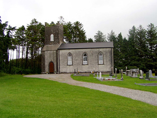 Kilfithmone Churchchurch/chapel · 459 yd
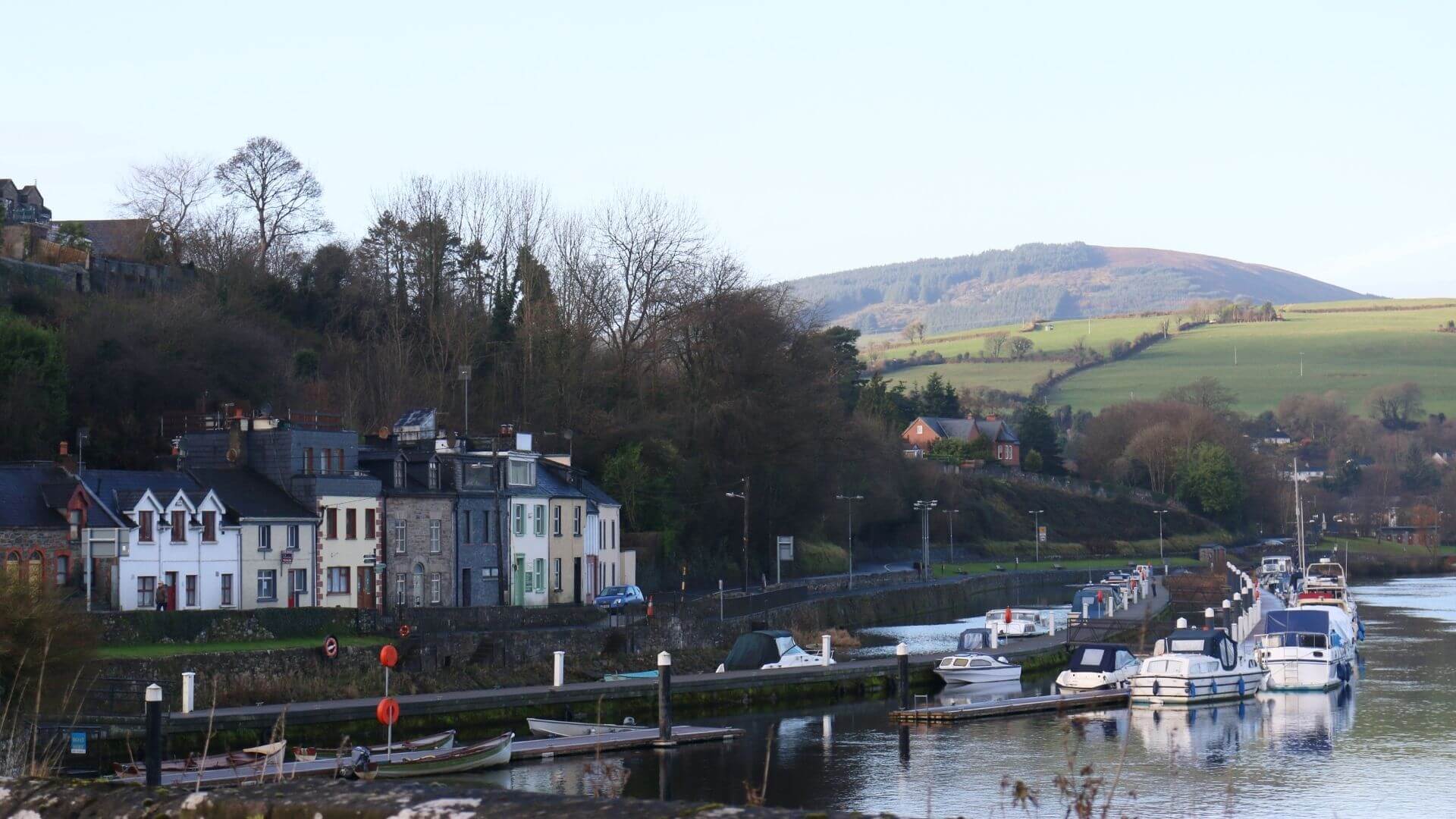 Fishmoyne Ho.Castle, unclassified · 1546 yd
 Killoskehan Castlegate lodge · 1745 yd
 IndicatedEnclosure · 1.0 mi
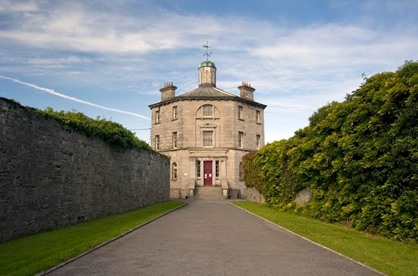 Castle (in ruins)Castle, tower house · 1.2 mi
 Fulacht fia in AughnaheelaFulacht fia · 1.3 mi
 Kilvilcorris BogForest · 1.5 mi
 GortagarryMountain / peak · 3.1 mi
 Morris's GroveForest · 3.6 mi
 Devil's Bit MountainMountain / peak · 3.9 mi
 Brookley Househouse · 1.2 mi
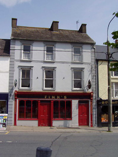 Finn'shouse · 1.3 mi
Other information
Photo: Credit not shown in the picture search · Rights wording not checked; contact us if this picture should be removed