What is recorded here
Unable to located any evidence of a fulacht fiadh in area marked on OS 6-inch map, information reported to SMR by Andrew Ryan in 1991.
Compiled by: Jean Farrelly and Caimin O'Brien
Date of upload/revision: 22 September 2008
The monument record does not grant public access. Check the route and ask the landowner before entering private land.
- What survives
- Recorded monument
Places near here
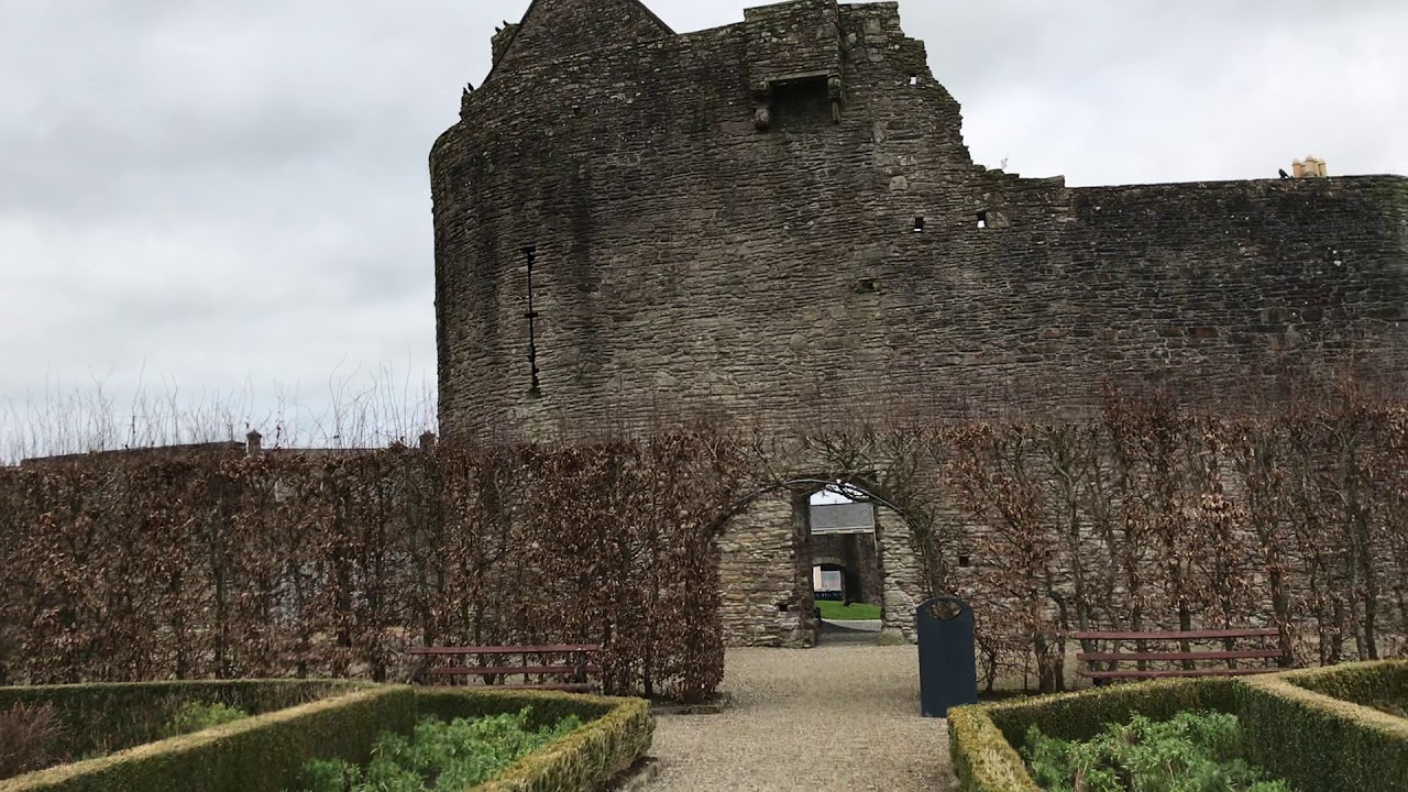 Enclosure in Curraghglass (glenkeen Par.),garrangrena LowerEnclosure · 463 yd
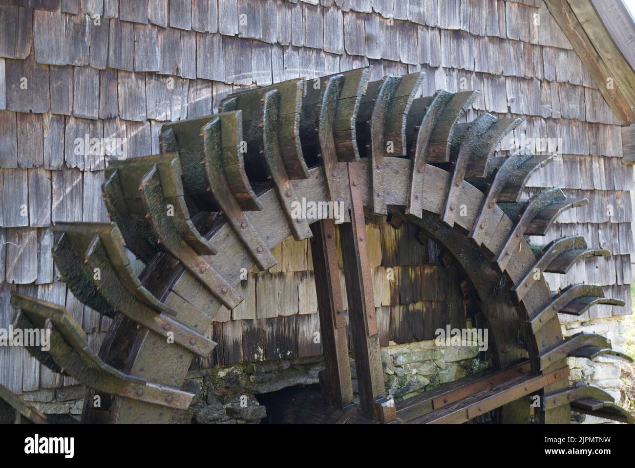 Water millWater mill, horizontal-wheeled · 1469 yd
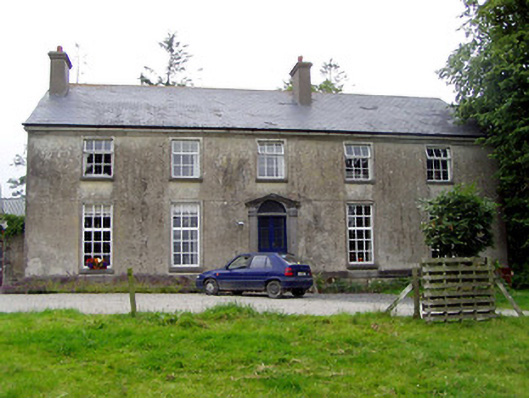 Glebe Houserectory/glebe/vicarage/curate's house · 1509 yd
 Glenkeen Well (Site of)Holy well · 1686 yd
 Cloghaneena Castle (in ruins)Castle, tower house · 1.3 mi
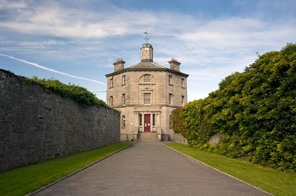 Castle (in ruins)Castle, tower house · 1.6 mi
 GortagarryMountain / peak · 2.5 mi
 Kilvilcorris BogForest · 2.8 mi
 Devil's Bit MountainMountain / peak · 3.9 mi
 Morris's GroveForest · 4.6 mi
 James Devaney MemorialMemorial · 11 mi
 Old BarracksHeritage attraction · 11 mi
Other information
Photo: Credit not shown in the picture search · Rights wording not checked; contact us if this picture should be removed