
What is recorded here
No surface remains visible. Depicted as a semi-circular shaped face of a small quarry associated with a lime-kiln located immediately to the E on the 1838 ed. OS 6-inch map. This was a small quarry of post-1700 date associated with the adjoining lime-kiln as depicted on the 1838 ed. OS 6-inch map.
The above description is derived from the published 'Archaeological Inventory of County Offaly' (Dublin: Stationery Office, 1997). In certain instances the entries have been revised and updated in the light of recent research.
Date of upload/revision: 04 January 2012
The monument record does not grant public access. Check the route and ask the landowner before entering private land.
- What survives
- Recorded monument
Places near here
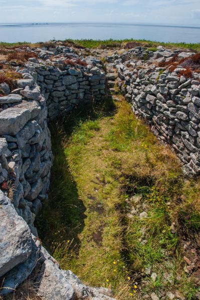 BarrowBarrow, unclassified · 87 yd
 Enclosure in AghodyEnclosure · 476 yd
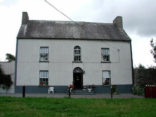 Summerhill Housefarm house · 1002 yd
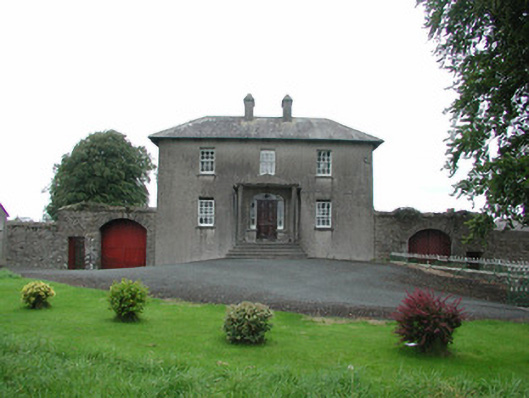 Danganreagh Housefarm house · 1307 yd
 CastleCastle, ringwork · 1497 yd
 Ballybritt CastleCastle, tower house · 1.4 mi
 Millennium GardenMemorial · 1.9 mi
 Saint Kieran's WellSpring · 2.3 mi
 Golden Grove HillMountain / peak · 2.3 mi
 Golden Grove WoodWood · 2.4 mi
 European ashEuropean ash · 2.6 mi
 Roscrea Petty Sessions HouseHeritage attraction · 2.9 mi
Other information
Photo: Credit not shown in the picture search · Rights wording not checked; contact us if this picture should be removed