What is recorded here
Cropmark of circular-shaped area (diam. c. 40m) defined by a ditch visible on Bing aerial photograph. Faint outline of cropmark visible on Google Earth orthoimages dated 08/04/2020 and 10/07/2018.
See attached Bing orthoimage and Google Earth orthoimages
Compiled by: Caimin O'Brien based on details provided by Jean-Charles Caillère
Date of upload: 17 February 2022
The monument record does not grant public access. Check the route and ask the landowner before entering private land.
- What survives
- Recorded monument
Places near here
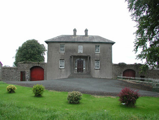 Danganreagh Housefarm house · 557 yd
 BarrowBarrow, mound barrow · 750 yd
 Partially hachuredCastle, motte · 753 yd
 RoadRoad, hollow-way · 828 yd
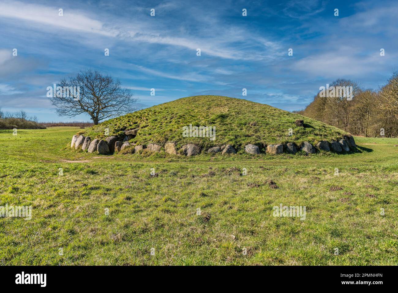 Burial mound in BallybrittBurial mound · 954 yd
 IndicatedCastle, motte · 993 yd
 Golden Grove WoodWood · 1.5 mi
 Golden Grove HillMountain / peak · 1.5 mi
 Millennium GardenMemorial · 2.1 mi
 Eagle HillMountain / peak · 2.3 mi
 Leap CastleCastle · 2.4 mi
 European ashEuropean ash · 2.7 mi