
What is recorded here
Outline of possible conjoined ring-barrows clearly visible on Google Earth aerial image taken 18/01/2018. Monument consists of a low circular mound (approx. diam. 9m) defined by a fosse with second barrow immediately to E.
See attached aerial photograph taken from Google Earth.
Compiled by: Caimin O'Brien based on details provided by Dr. Rob O'Hara
Date of upload: 25 February 2020
Mound barrow, likely dating to the Early Bronze Age. Its significance lies in its potential association with a conjoined ring-barrow complex, indicating ritual or funerary practices of the period.
The monument record does not grant public access. Check the route and ask the landowner before entering private land.
- What survives
- Recorded monument
Places near here
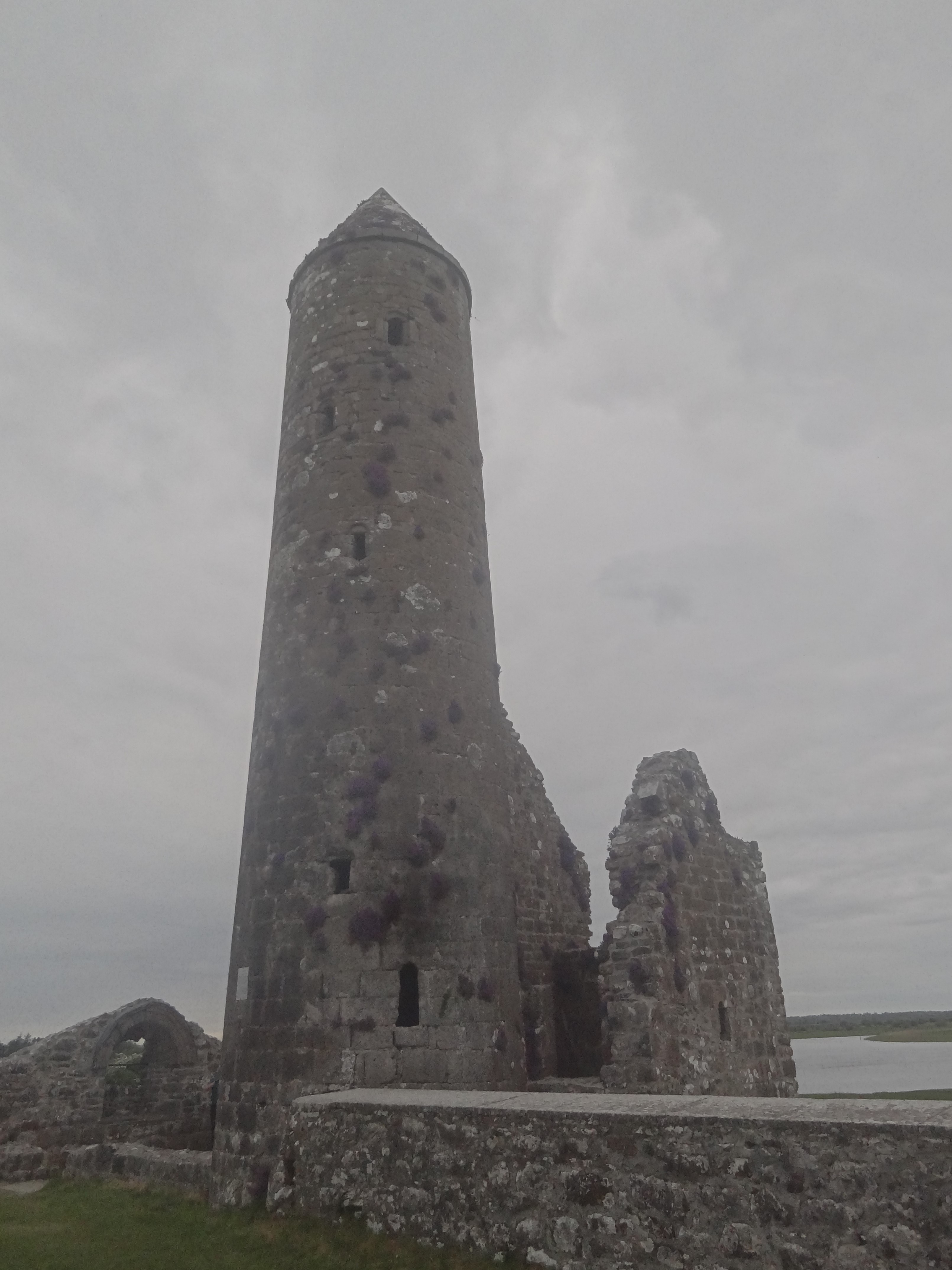 Ecclesiastical enclosure in FancroftEcclesiastical enclosure · 240 yd
 RoadRoad, hollow-way · 247 yd
 IndicatedCastle, motte · 268 yd
 Chapel (in ruins)Church · 323 yd
 Burial groundGraveyard · 342 yd
 Partially hachuredCastle, motte · 1310 yd
 Golden Grove HillMountain / peak · 1.1 mi
 Golden Grove WoodWood · 1.2 mi
 Millennium GardenMemorial · 1.8 mi
 Eagle HillMountain / peak · 2.0 mi
 European ashEuropean ash · 2.3 mi
 Roscrea Petty Sessions HouseHeritage attraction · 2.5 mi
Other information
Photo: Credit not shown in the picture search · Rights wording not checked; contact us if this picture should be removed