
What is recorded here
Described in 1973 as 'Indicated as a circular depression in a plantation on the 1910 edition OS 6-inch map. It appears in fact that there was an enclosure (int. dims. 39m NE-SW; 36m SE-NW) probably a ringfort there. The site is a slight natural rise and around the top of it is a stony zone (Wth 7.6m) with vegetation whose colour is distinguishable from the general colour of the vegetation around it. This presumably represents the site of a bank. No indication as to where the material was moved to. No visible trace of an entrance. The interior slopes slightly from SSW-NNE. No visible feature of significance on it. Thee was a small natural pool of water to the S but this was drained recently. The site is relatively lowlying and almost surrounded by waterlooged land save on the SW where the land is of good pasture which rises gently from the site' (SMR file).
Date of upload: 4 December 2009
Compiled by: Caimin O'Brien
A local fairy fort (ringfort/rath); wider significance not recorded.
This remains an important historical record, but the official description says the monument is no longer visible or has been destroyed. The monument record does not grant public access. Check the route and ask the landowner before entering private land.
- What survives
- No visible remains or recorded as destroyed
Places near here
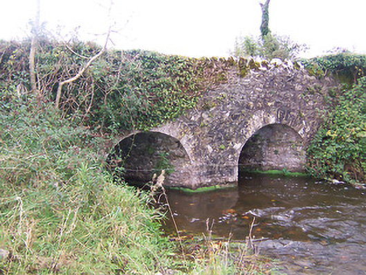 bridgebridge · 80 yd
 Lickbla Housecountry house · 280 yd
 Lady WellHoly well · 777 yd
 Rock of CurryCliff · 1.2 mi
 CastleCastle, tower house · 1.4 mi
 Turbotstown Ho.Castle, unclassified · 1.5 mi
 European ashEuropean ash · 1.6 mi
 Pedunculate OakPedunculate Oak · 2.0 mi
 Mullaghmeen ForestPicnic place · 3.3 mi
 Mullaghmeen Red WalkWalking route · 3.4 mi
 Mullaghmeen White WalkWalking route · 3.4 mi
Other information
Photo: Credit not shown in the picture search · Rights wording not checked; contact us if this picture should be removed