DDiscover AloneMapAbout

Wedge tomb in Lickbla

Wedge tomb
Wedge tomb in Lickbla
Representative picture, exact place not confirmed
Photo: Maker not stated on source page, en.wikipedia.org · Report the wrong picture

The monument record does not grant public access. Check the route and ask the landowner before entering private land.

What do you know about this place?Tap to add a comment or ask a question

What you write will be public.

What is recorded here

The following description is derived from Ruaidhrí de Valera and Seán Ó Nualláin, Survey of the Megalithic Tombs of Ireland. Volume III. Counties Galway, Roscommon, Leitrim, Longford, Westmeath, Laoighis, Offaly, Kildare, Cavan. (Dublin: Stationery Office, 1972) (See linked document with details). ‘The monument is…

Read the whole record
The following description is derived from Ruaidhrí de Valera and Seán Ó Nualláin, Survey of the Megalithic Tombs of Ireland. Volume III. Counties Galway, Roscommon, Leitrim, Longford, Westmeath, Laoighis, Offaly, Kildare, Cavan. (Dublin: Stationery Office, 1972) (See linked document with details). ‘The monument is situated on rolling pasture land some three miles north of Castlepollard. About 1 mile from the site, towards the north-west, the land falls away to low flat bog. To the north the Hill of Mael and the Rock of Curry form the skyline. The tomb is ruined and the orthostats are deeply buried in the enveloping mound. The remains of a long narrow gallery, orientated roughly NNE-SSW, are visible. An outer-wall about 1 m. beyond the eastern side of the gallery is represented by two stones. One stone, near the northern edge of the mound, may be another outer-wall stone. Four prostrate stones lying along the gallery are probably displaced roofstones. These are from 1.30 m. to 2 m. in maximum dimension and between 0.30 m. and 0.50 m. thick. The structure stands in the northern end of a roughly oval-shaped mound about 20 m. long, 14 m. in greatest width and up to 1.50 m. high. The present outline of the mound is probably the result of spill and cultivation. About 1 m. south of the present end of the gallery a depression, about 2.30 m. in diameter, and 0.35 m. deep, is probably the result of robbing. A fence passes within 2 m. of the mound at the north-east. Embedded in the fence, some 2 m. north of the tomb, is a fine erect stone, 1.60 m. long, 0.35 m. thick and 1.15 m. high, which may have once formed part of the structure. Three stones of the western side of the gallery are visible. That at the north is at least 0.55 m. long, 0.20 m. thick and 0.15 m. high. Its north and south ends are concealed. The next sidestone is 4.80 m. to the south. It is 0.40 m. long, 0.35 m. thick and 0.25 m. high. The stone next to this is 0.85 m. long, 0.25 m. thick and 0.50 m. high. The opposite side of the gallery is also represented by three stones. The more northerly is 0.35 m. long, •20 m. thick and 0.20 m. high. The stone next to this is 0.50 m. long, 0.25 m. thick and 0.20 m. high. The third stone is 2.80 m. further to the south. It is 0.50 m. long, 0.30 m. thick and 0.20 m. high. Several points of stone exposed along this side may be the tops of other sidestones but this cannot be decided without excavation. The outer-wall stone at the south is 0.90 m. long, 0.45 m. thick and 0.70 m. high. The second outer-wall stone is in line with the last and 4.50 m. to the north. It is 1.40 m. long, 0.60 m. thick and 1 m. high. Some 4 m. west of this, on the opposite side of the gallery, is an almost prostrate stone which may be a third outer-wall stone. It is 1 m. long, 0.20 m. thick and, if erect, would be 0.50 m. high. Several almost concealed stones around the north end of the tomb are of uncertain function and may only be cairn stones. A displaced stone, 1.20 m. in maximum dimension and 0.50 m. thick, lies at the edge of the mound at the north-east. Though the remains are scant, the tomb can confidently be classified as a Wedge-tomb. The gallery seems to have been at least 7 m. long and about 1.30 m. in width.’ Date of upload: 3 October 2011

From the National Monuments Service (Archaeological Survey of Ireland) record WM003-039

Places near here

Photo credits
  • Maker not stated on source page, global-geography.org
  • Maker not stated on source page, www.pinterest.com
  • National Inventory of Architectural Heritage
  • Photographer not named in the source article, www.independent.ie
  • Maker not stated on source page, en.wikipedia.org
  • Maker not stated on source page, irisharchaeology.org
  • Maker not stated on source page, www.dreamstime.com
  • Maker not stated on source page, heritageireland.ie
  • Britishfinance, Wikimedia Commons · CC BY-SA 4.0
Megalithic structure in LickblaMegalithic structure · 280 yd

Explorer Tom Megalithic structure in Lickbla, County Westmeath would make Saint Patrick stop mid-sermon and say 'blimey, that’s a…

Lickbla GraveyardCemetery · 1017 yd

Explorer Tom Lickbla Graveyard in County Westmeath does a bit of rearranging when nobody’s looking, just to keep things fresh. The…

Lickbla HouseMill (water) · 1124 yd

Explorer Tom Lickbla House in Rathcreevagh is planning to retire to the Bahamas, but its water mill machinery is too heavy to lift…

Ballycomoyle GAA pitchGAA ground · 1235 ydEarthwork in CurryEarthwork · 1292 yd

Explorer Tom Earthwork in Curry is sitting on its hands, dreaming of winning the lotto and buying a fancy new fence that nobody has…

bridge1362 yd

Explorer Tom Bridge in Curry is secretly friends with a famous rock star who only visits at night when the tourists have all gone…
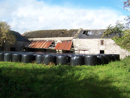
Gilbertstown MillsMill (water) · 1498 yd

Explorer Tom Gilbertstown Mills in Clongowly is a water mill where the builder was really just thinking about lunch breaks. It’s…

Gilbertstown HouseMiller's house · 1.0 mi

Explorer Tom Gilbertstown House in Clongowly would bring a bag of flour and a grumpy attitude to any party it attended. It was a…

Fairy fort / earthen ringfort in Balrath (fore By.)Fairy fort / earthen ringfort · 1.2 mi

Explorer Tom Fairy fort / earthen ringfort in Balrath is hiding a scandal from 1700 involving a field wall that went slightly rogue.…

Mapped graveyardGraveyard · 1.4 mi

Explorer Tom Mapped graveyard in County Westmeath is the favorite gossip spot for the local seagulls, who spend all day perched on…
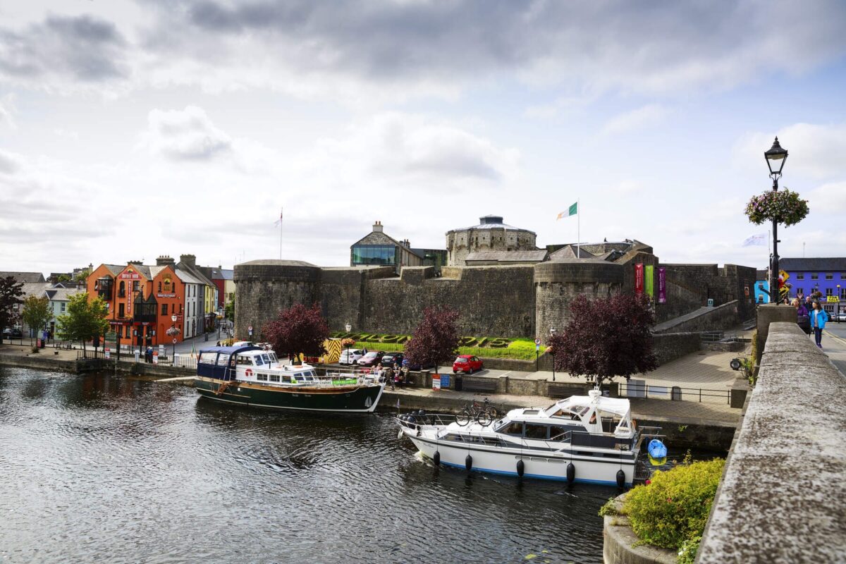
Carlanstown CastleBawn · 1.6 mi

Explorer Tom Carlanstown Castle has a hidden message in its stones if you know how to squint properly. It probably just says 'Free…

Mullaghmeen ForestPicnic place · 2.5 mi

Explorer Tom Mullaghmeen Forest’s name basically means “The Hill Where The Sheep Went To Die” if you squint really hard at the map.…

More archaeology and monuments in County Westmeath · All of County Westmeath

Add to this placeAdd a picture Add a detailed tip Add a story

Explore the map1,095,414 places to discover

Next place · or swipeMegalithic structure in Lickbla