What is recorded here
All that remains visible are the W corner, approximately rectangular, of a large slab with another stone set on edge beside it. The latter is orientated approximately SW-NE. According to the landowner the SW-NE stone was years ago about 1 ft 6 inches (0.45m) in height. It is now only c. 0.15m in height. The stone on edge is 0.9m in length.
Compiled by: Frank Coyne & Caimin O'Brien
Date of upload: 5 January 2017
The monument record does not grant public access. Check the route and ask the landowner before entering private land.
- What survives
- Recorded monument
Places near here
 Partially outlinedFairy fort / earthen ringfort · 739 yd
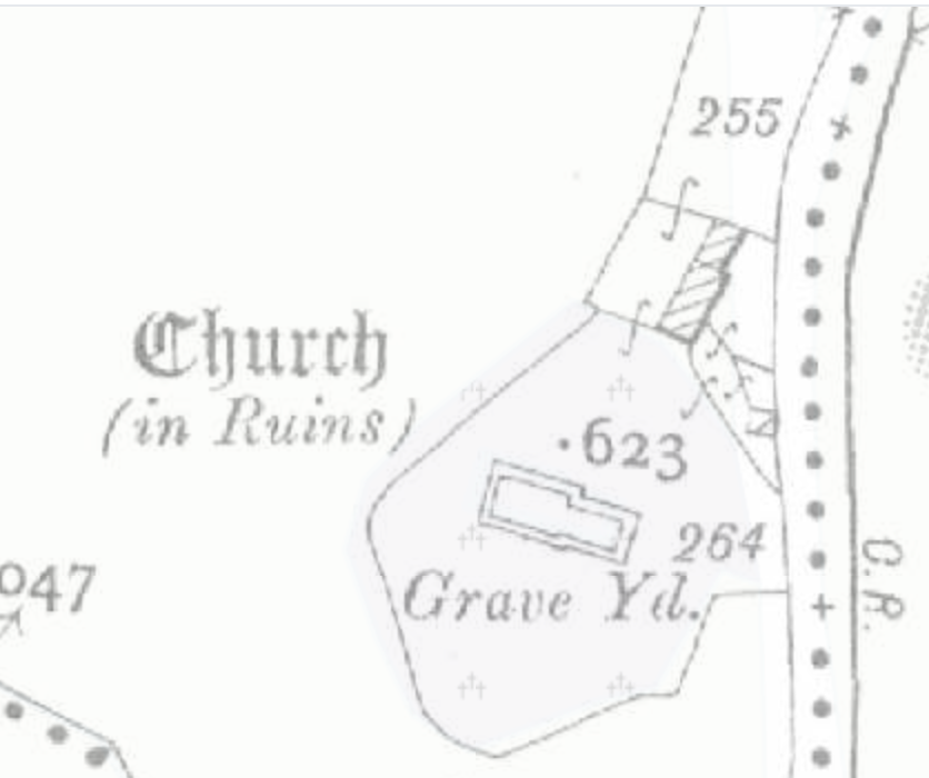 Church (in Ruins)Church · 1071 yd
 Lickbla Housecountry house · 1291 yd
 Rock of CurryCliff · 1697 yd
 Hachured, dotted outlineCastle, motte and bailey · 1.4 mi
 Castle (in Ruins)Castle, unclassified · 1.6 mi
 European ashEuropean ash · 1.9 mi
 Mullaghmeen ForestPicnic place · 2.4 mi
 Silver FirSilver Fir · 2.5 mi
 Mullaghmeen Red WalkWalking route · 2.6 mi
 Mullaghmeen White WalkWalking route · 2.6 mi