
What is recorded here
Situated on gently sloping grassland with good views to S on the demesne lands of Pakenham Hall located 890m to SE. Ringfort (WM003-090---) 260m to E. Depicted as an irregular shaped tree plantation and not as an antiquity on the 1837 ed. OS 6-inch map. An unusually large sub-circular shaped area (approx. diam. 53m E-W) enclosed by two earthen banks and an intervening fosse. The inner bank is wide and low; the fosse is wide and deep and has been disturbed by quarrying at NE. The outer bank has been partially levelled. Mature oak trees grow along the perimeter of the monument.
See attached profile of monument surveyed and drawn by the ASI.
Compiled by: Frank Coyne and Caimin O'Brien
Date of upload: 25 May 2017
A local fairy fort (ringfort/rath); wider significance not recorded.
The monument record does not grant public access. Check the route and ask the landowner before entering private land.
- What survives
- Recorded monument
Places near here
 Partially hachuredFairy fort / earthen ringfort · 344 yd
 European BeechEuropean Beech · 764 yd
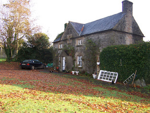 Tullynally Castleworker's house · 854 yd
 CastleCastle, unclassified · 892 yd
 Pedunculate OakPedunculate Oak · 1045 yd
 Hilltop enclosure in Carn (fore By., Collure Ed)Hilltop enclosure · 1290 yd
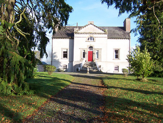 Gaulstown Househouse · 1534 yd
 Turbotstown Ho.Castle, unclassified · 1.4 mi
 Rock of CurryCliff · 3.1 mi
 Fore AbbeyHeritage attraction · 4.5 mi
 St Feichin's MillHeritage attraction · 4.5 mi
 Bridge Memorial (Kenna)Memorial · 4.8 mi
Other information
Photo: Credit not shown in the picture search · Rights wording not checked; contact us if this picture should be removed