What is recorded here
Situated on top of a prominent hill in pasture-land. Ringfort (WM003-088----) 400m to N. Bog 470m to W. Lough Derravaragh 1.3km to S. Depicted as a circular enclosure on the 1837 ed. OS 6-inch map. The 1875 revised edition of the OS 6-inch map depicted the monument as a circular enclosure delimited by a dotted line and marked 'Site of Fort' beside the OS Trig. station. The Ordnance Survey memoranda records that the site was known locally as ‘Lissanphubble’ meaning the fort of the tent or pavilion and that when it was inspected by the Ordnance Survey on remains of the monument were visible except for an old bush close to the OS Trig. station (SMR File). Not indicated on the revised 1911 ed. OS 6-inch map. This site has been levelled and today there are no surface remains visible. Slight crop mark of a circular enclosure (approx. diam. 28m E-W) visible on Digital Globe aerial photograph taken November 2011 to right of area indicated on 1837 ed. OS 6-inch map. Although located at a slightly different location, this cropmark appears to be the enclosure depicted on the 1837 ed. OS 6-inch map.
Compiled by: Frank Coyne & Caimin O'Brien
Date of upload: 3 February 2017
The monument record does not grant public access. Check the route and ask the landowner before entering private land.
- What survives
- Recorded monument
Places near here
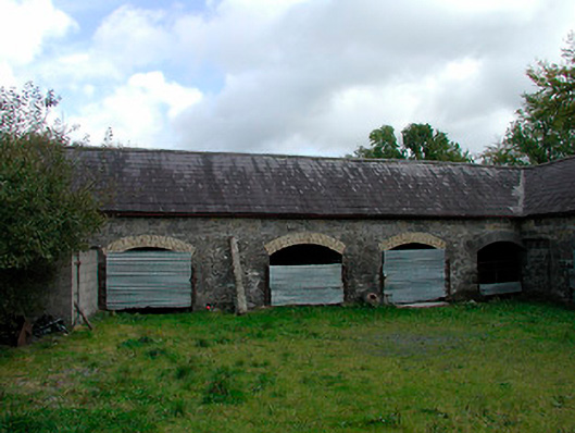 stablesstables · 619 yd
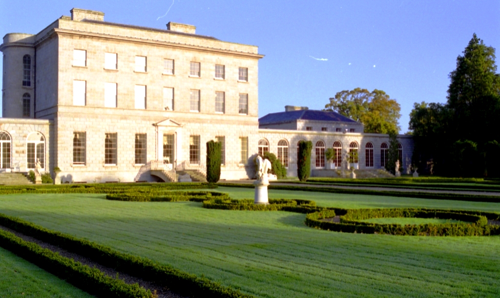 OutlinedFairy fort / earthen ringfort · 1009 yd
 Settlement platform in DerryaSettlement platform · 1057 yd
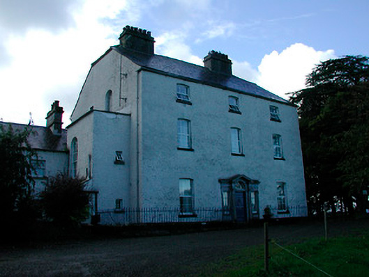 Coolure Housecountry house · 1134 yd
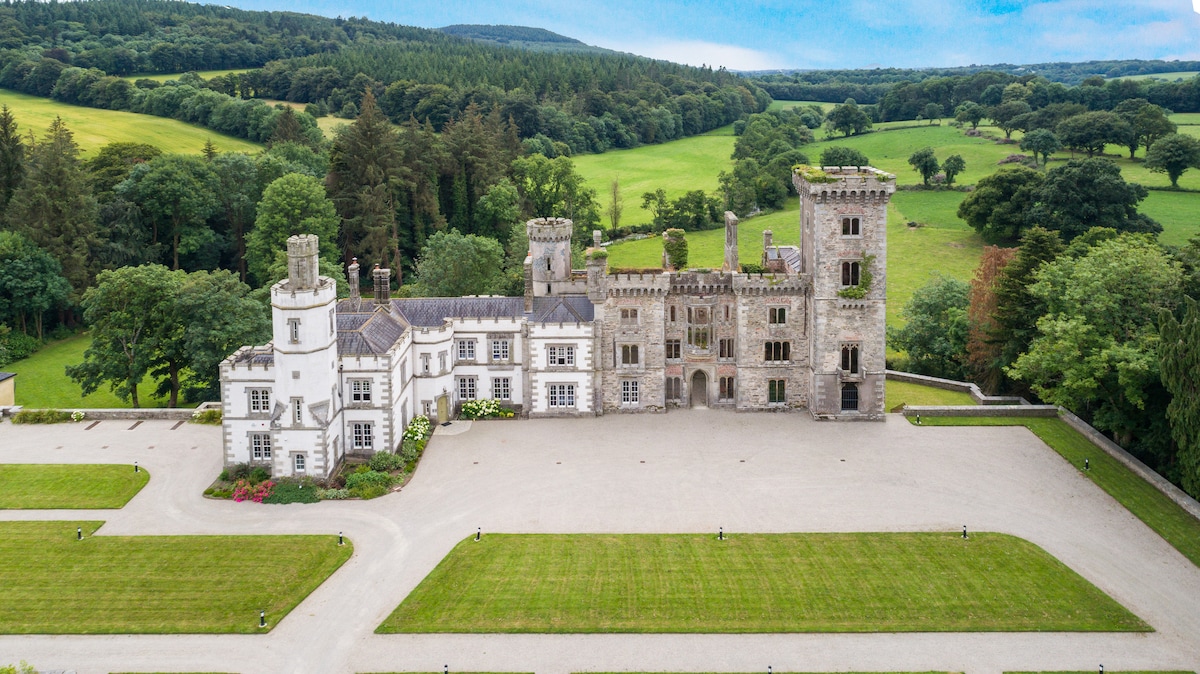 CastleCastle, tower house · 1477 yd
 Turbotstown Ho.Castle, unclassified · 1.8 mi
 European BeechEuropean Beech · 2.0 mi
 Pedunculate OakPedunculate Oak · 2.3 mi
 Bridge Memorial (Kenna)Memorial · 3.6 mi
 Rock of CurryCliff · 4.2 mi
 Mullaghmeen ForestPicnic place · 6.4 mi
 Seafin HillMountain / peak · 8.4 mi