Places near here
Photo credits
- National Inventory of Architectural Heritage
- Malene Thyssen, Wikimedia Commons · CC BY-SA 3.0
- Algirdas at Lithuanian Wikipedia, Wikimedia Commons · Public domain
- Charles T. G. Clarke, Wikimedia Commons · CC BY-SA 4.0
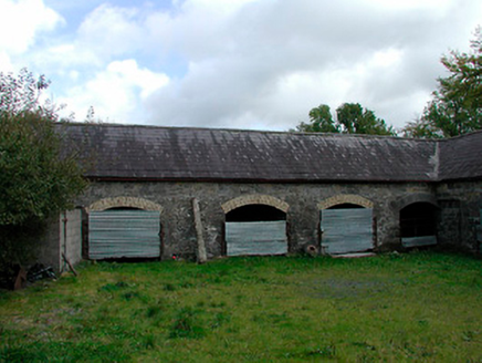 stables445 yd
Explorer Tom Stables in Lispopple’s name actually means 'where the horses nap' if you listen closely enough. That carriage arch is…
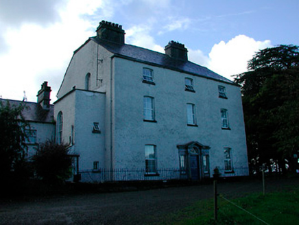 Coolure HouseCountry house · 482 yd
Explorer Tom Coolure House in Coolure Demesne was built on a bargain where the architect got paid in extra biscuits. It’s a robust…
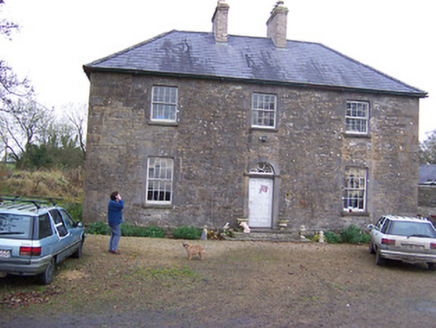 Simonstown HouseHouse · 1.2 mi
Explorer Tom Simonstown House was saved by a hero nobody remembers, probably a guy in a raincoat who just really liked limestone. It…
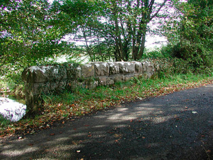 Kiltoom BridgeBridge · 1.3 mi
Explorer Tom Kiltoom Bridge would cope on a reality show by standing still while everyone else argues about whether it’s…
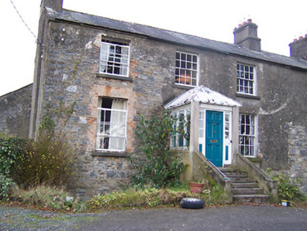 The Old RectoryRectory/glebe/vicarage/curate's house · 1.3 mi
Explorer Tom The Old Rectory in Mayne is hiding a scandal from the early 1800s. Someone probably ate the communion wafer and didn’t…
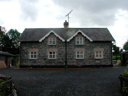 worker's house1.3 mi
Explorer Tom Worker's house in Kiltoom is one of twenty-six identical boxes where estate workers lived, and it acts like it’s the…
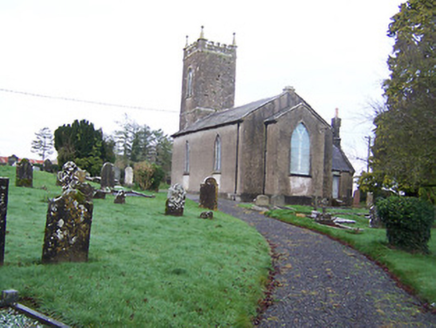 Saint Nicholas's Church (Mayne)Church/chapel · 1.4 mi
Explorer Tom Saint Nicholas's Church in Mayne refuses to fall down because it’s too proud of its early nineteenth-century bones.…
 Tullynally CastleWorker's house · 1.6 mi
Explorer Tom Tullynally Castle’s worker’s house was taken over by a fox who decided it needed better heating and now runs the place…
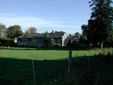 Donore HouseFarmyard complex · 1.7 mi
Explorer Tom Donore House in Donore is playing musical chairs with its own history. The main house burned down, but the outbuildings…
 European Beech1.9 mi
Explorer Tom European Beech in County Westmeath claims to hear everything through its walls, including your embarrassing phone calls…
 Pedunculate Oak2.2 mi
Explorer Tom Pedunculate Oak in County Westmeath witnessed a love story that went badly wrong when one party dropped their ring into…
 Coolamber CastleHouse, fortified house · 5.1 mi
Explorer Tom Coolamber Castle House is where Saint Patrick would have said, ‘You’ve got a bit of an ego for a pile of rocks.’…
More archaeology and monuments in County Westmeath · All of County Westmeath

What do you know about this place?Tap to add a comment or ask a question