
What is recorded here
Situated on a slight rise of ground on the landscaped demesne of Pakenham Hall located 670m to SSE. Ringfort (WM003-089---) 260m to W. Depicted as a rectangular shaped tree plantation and not as an antiquity on the 1837 ed. OS 6-inch map. A sub-circular shaped area (approx. diam. 26m NE-SW) enclosed by an earth and stone bank and a wide external fosse. The fosse is visible from E-SW, and joins a more recent field fence at W. A narrow rectangular enclosure, probably part of a tree plantation is visible outside the monument to the S. It is possible that this ringfort was altered to form a tree-ring, part of the landscaping works associated with the nearby Pakenham Hall.
See attached profile of monument surveyed and drawn by the ASI.
Compiled by: Frank Coyne and Caimin O'Brien
Date of upload: 25 May 2017
A local fairy fort (ringfort/rath); wider significance not recorded.
The monument record does not grant public access. Check the route and ask the landowner before entering private land.
- What survives
- Recorded monument
Places near here
 OutlinedFairy fort / earthen ringfort · 344 yd
 European BeechEuropean Beech · 470 yd
 Pedunculate OakPedunculate Oak · 710 yd
 CastleCastle, unclassified · 717 yd
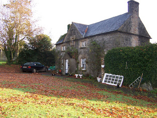 Tullynally Castleworker's house · 820 yd
 Tromra Househouse · 1497 yd
 Hilltop enclosure in Carn (fore By., Collure Ed)Hilltop enclosure · 1612 yd
 Turbotstown Ho.Castle, unclassified · 1.6 mi
 Rock of CurryCliff · 3.0 mi
 Fore AbbeyHeritage attraction · 4.3 mi
 St Feichin's MillHeritage attraction · 4.3 mi
 Bridge Memorial (Kenna)Memorial · 4.9 mi
Other information
Photo: Credit not shown in the picture search · Rights wording not checked; contact us if this picture should be removed