
What is recorded here
Situated on a hilltop now covered in trees. A circular shaped earthwork is depicted on Carne Hill on an estate map dating from 1798 (NLI, MS 21.F.48 (005) ). An unusually large circular area (approx. diam. 68m N-S; 66m E-W) enclosed by two earth and stone banks with a slight, wide intervening fosse. The perimeter of the monument has been disturbed by quarrying from W-N. The interior is uneven, and slopes from N to S and E.
Compiled by: Frank Coyne and Caimin O'Brien
Date of upload: 23 May 2017
A local fairy fort (ringfort/rath); wider significance not recorded.
The monument record does not grant public access. Check the route and ask the landowner before entering private land.
- What survives
- Recorded monument
Places near here
 IndicatedFairy fort / earthen ringfort · 819 yd
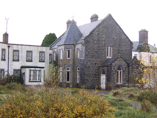 Saint Joseph's Hospitalconvent/nunnery · 961 yd
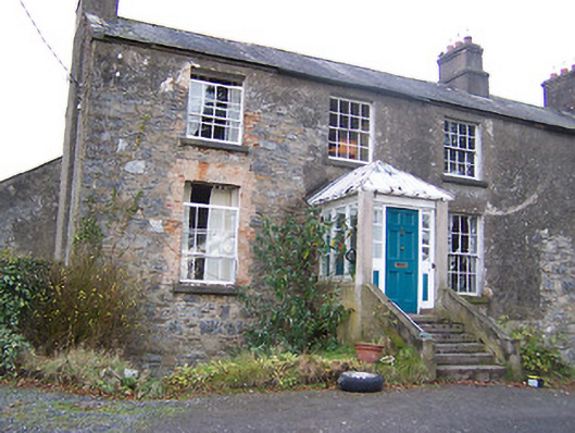 The Old Rectoryrectory/glebe/vicarage/curate's house · 1005 yd
 Ecclesiastical enclosure in MayneEcclesiastical enclosure · 1160 yd
 Turbotstown Ho.Castle, unclassified · 1496 yd
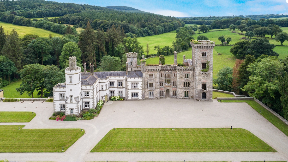 CastleCastle, tower house · 1503 yd
 European BeechEuropean Beech · 1.2 mi
 Pedunculate OakPedunculate Oak · 1.3 mi
 Rock of CurryCliff · 3.0 mi
 Bridge Memorial (Kenna)Memorial · 4.7 mi
 Mullaghmeen ForestPicnic place · 5.1 mi
 Mullaghmeen Red WalkWalking route · 5.3 mi
Other information
Photo: Credit not shown in the picture search · Rights wording not checked; contact us if this picture should be removed