
What is recorded here
Situated on a very slight rise in level pasture-land, on the demesne lands of Turbotstown House located 860m to NW, gate lodge to house located 210m to SSE. Not depicted as an antiquity on any edition of the OS 6-inch maps. Depicted as a designed landscape feature on the 1837 ed. OS 6-inch map. A small sub-circular shaped area (diam. 21m NE-SW; 17m NW-SE) defined by a low steep scarp which has been damaged by tree planting in the past, and more recently by livestock. Slight remains of shallow trenches, seemingly of nineteenth century date and possibly associated with the tree planting in the NW quadrant of the site. The monument is enclosed within a D-shaped banked enclosure of post-1700 date, which was built to enclose the tree-plantation. No trees now survive, however numerous tree stumps can still be seen. Possibly a ringfort that was later modified into a tree-ring. Alternatively this monument may have been built as tree-ring in the post-1700 period as part of the landscaping of the demesne lands of Turbotstown House.
Compiled by: Frank Coyne & Caimin O'Brien
Date of upload: 29 November 2016
The monument record does not grant public access. Check the route and ask the landowner before entering private land.
- What survives
- Recorded monument
Places near here
 Hilltop enclosure in Carn (fore By., Collure Ed)Hilltop enclosure · 819 yd
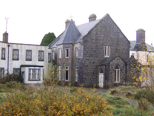 Saint Joseph's Hospitalconvent/nunnery · 918 yd
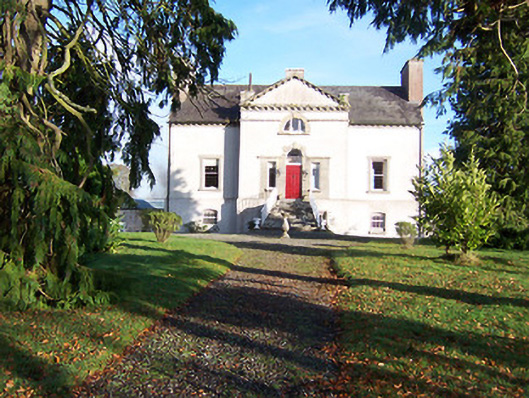 Gaulstown Househouse · 958 yd
 Turbotstown Ho.Castle, unclassified · 994 yd
 Enclosure in Ballynagall LittleEnclosure · 1114 yd
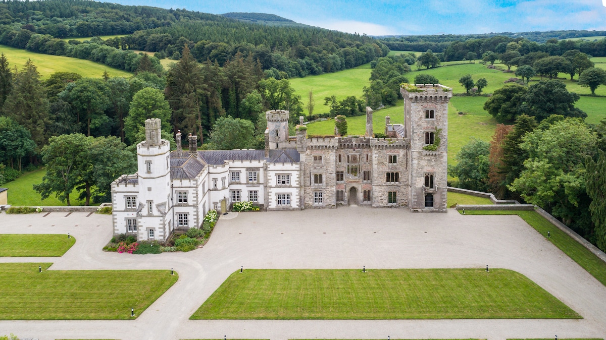 CastleCastle, tower house · 1.3 mi
 European BeechEuropean Beech · 1.3 mi
 Pedunculate OakPedunculate Oak · 1.4 mi
 Rock of CurryCliff · 2.5 mi
 Mullaghmeen ForestPicnic place · 4.7 mi
 Mullaghmeen Red WalkWalking route · 4.8 mi
 Mullaghmeen White WalkWalking route · 4.8 mi
Other information
Photo: Credit not shown in the picture search · Rights wording not checked; contact us if this picture should be removed