
What is recorded here
Two ruinous medieval castles stood in Tullynally when the Down Survey mapped them in 1657, yet Henry Pakenham later built a new fortified house nearby after receiving the forfeited lands. The old stones vanished beneath grass, memory and time, leaving only a low natural rise where the first castle may have stood. What remains is not a grand ruin but a quiet absence, shaped by loss, reuse and the stubborn habit of places to disappear.
Two ruinous medieval castles are depicted standing in the townland of Tullynally on the 1657 Down Survey map of the barony of Fore (NLI, MS 723-4). The terrier of the 1657 Down Survey map of Mayne parish lists Thomas FitzSyman (FitzSymons/FitzSimons) an Irish papist as the owner of the lands of Tullynally in 1641 (NLI, MS 723-4). These forfeited lands were granted to Henry Pakenham in the second half of the 17th century, who built a new square shaped castle or fortified house (WM003-092----) possibly on or close to the site of the medieval castles depicted on the 1657 Down Survey map of the barony of Fore. The second medieval castle may have been located 150m W of Pakenham Hall. According to the landowner, Thomas Pakenham this location is traditionally believed to be the site of the first castle of Tullynally. Present remains consist of a wide low natural rise outlined by a steep straight scarp at S. The E and W sides are bounded by a gentle natural slope which has been only slightly modified by tree planting. The N side is rather irregular and appears to have been partly quarried away in the past. The top of the rise is a wide, fairly flat platform. In its present state the site appears to be of no archaeological significance.
Compiled by: Frank Coyne & Caimin O'Brien
Date of upload: 6 December 2016
The monument record does not grant public access. Check the route and ask the landowner before entering private land.
- What survives
- Recorded monument
Places near here
 European BeechEuropean Beech · 231 yd
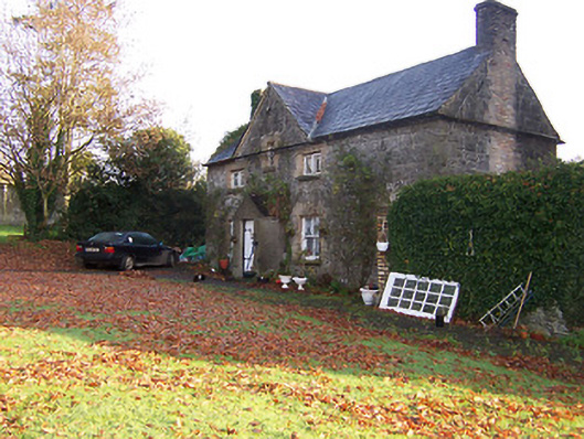 Tullynally Castleworker's house · 355 yd
 Pedunculate OakPedunculate Oak · 646 yd
 Partially hachuredFairy fort / earthen ringfort · 717 yd
 OutlinedFairy fort / earthen ringfort · 892 yd
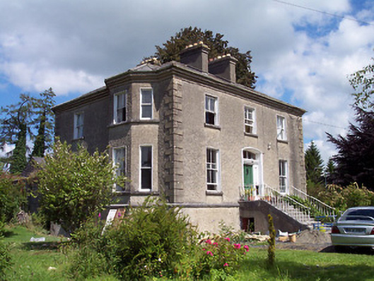 The Rectoryrectory/glebe/vicarage/curate's house · 1261 yd
 Bawn in KiltoomBawn · 1.2 mi
 Turbotstown Ho.Castle, unclassified · 2.0 mi
 Rock of CurryCliff · 3.4 mi
 St Feichin's MillHeritage attraction · 4.1 mi
 Fore AbbeyHeritage attraction · 4.2 mi
 Bridge Memorial (Kenna)Memorial · 4.6 mi
Other information
Photo: Credit not shown in the picture search · Rights wording not checked; contact us if this picture should be removed