
What is recorded here
Annotated ‘Old Quarry’ on the 1837 ed. OSi 6-inch map, where it is depicted as a small D-shaped area. Quarry not indicated on subsequent editions of the OSi historic maps. No surface remains visible of filled in quarry which is now an area of grassland visible on 2013-18 MapGenie orthoimages.
Compiled by: Caimin O'Brien
The monument record does not grant public access. Check the route and ask the landowner before entering private land.
- What survives
- Recorded monument
Places near here
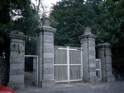 Newbridge Housedemesne walls/gates/railings · 81 yd
 Donabate Distributor RoadMemorial · 335 yd
 Enclosure in KilcreaEnclosure · 348 yd
 Church (in ruins), Graveyard (disused)Church · 655 yd
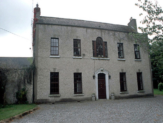 Kilcrea Housefarm house · 723 yd
 Ring-ditch in KilcreaRing-ditch · 805 yd
 Newbridge House and DemesneHeritage attraction · 816 yd
 TowerCastle, tower house · 878 yd
 Tourist InformationVisitor information · 972 yd
 Lanestown Castle in ruinsCastle, tower house · 1248 yd
 Turvey Allotments and Nature ReserveNature reserve · 1.2 mi
 The Birds of Rogerstown EstuaryVisitor information · 1.3 mi
Other information
Photo: Credit not shown in the picture search · Rights wording not checked; contact us if this picture should be removed