Places near here
Photo credits
- JP, Wikimedia Commons · CC BY-SA 2.0
- Oliver Dixon, Geograph · Creative Commons Attribution-ShareAlike 2.0
- National Inventory of Architectural Heritage
- Not stated on source page, www.westmeathexaminer.ie
 34th LockLock · 53 yd
Explorer Tom The 34th Lock has a secret talent for humming low B-flat when the water level changes. It sounds like a very grumpy cat…
 Balroe BridgeBridge · 68 yd
Explorer Tom Balroe Bridge has a fairy dispute over parking rights that has been going on for years, with tiny creatures arguing…
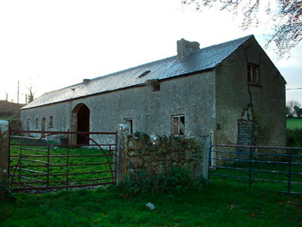 outbuilding305 yd
Explorer Tom Outbuilding in Laragh is probably hiding something embarrassing inside, like an ancient biscuit tin or a lost shoe from…
 Moynihan Park, BallynacargyGAA ground · 1501 yd
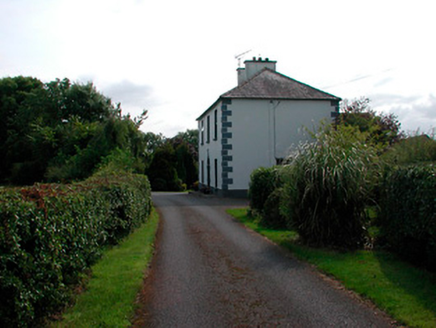 Ballysallagh HouseHouse · 1599 yd
Explorer Tom Ballysallagh House would tell its younger self to stop worrying about the ivy and start enjoying the sunset views from…
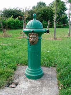 water pump1755 yd
Explorer Tom Water pump in Ballysallagh is a cast-iron beauty from before we had mains water, standing there looking like a tiny…
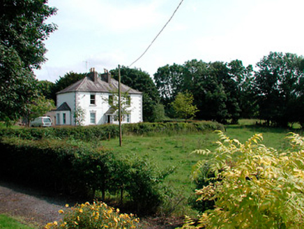 presbytery/parochial/curate's house1.1 mi
Explorer Tom Presbytery in Ballynacarrigy was where Vikings got lost looking for it because they kept turning left into the church…
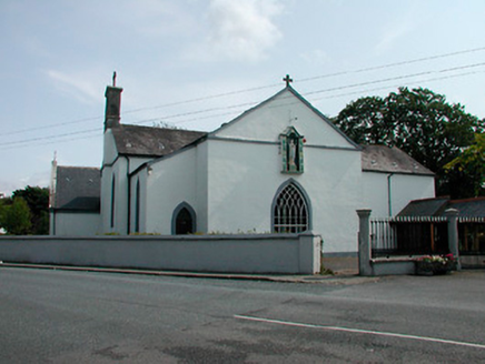 Catholic Church of the NativityChurch/chapel · 1.1 mi
Explorer Tom Catholic Church of the Nativity in Ballynacarrigy is an early nineteenth-century gem with a medieval font that’s older…
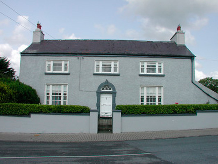 Church ViewHouse · 1.2 mi
Explorer Tom Church View has a retirement plan that involves sitting on its own front step and judging everyone who walks past…
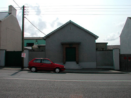 Ballynacarrigy CourthouseCourt house · 1.2 mi
Explorer Tom Ballynacarrigy Courthouse is a mid-twentieth-century beauty with curved steps that look like they were designed by a…
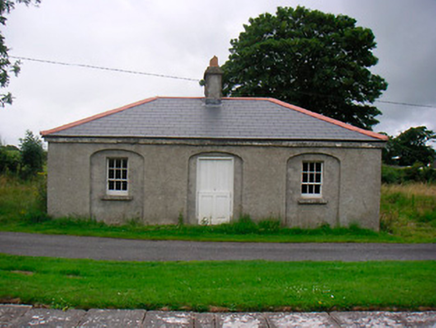 35th LockLock keeper's house · 1.2 mi
Explorer Tom 35th Lock in Ballintue is a former canal keeper’s cottage that almost got famous when a celebrity was spotted peeking…
 hotel1.2 mi
Explorer Tom Hotel in Ballintue is a derelict canal hotel that still acts like it’s serving five-star meals to wealthy travellers…
More historic places in County Westmeath · All of County Westmeath

What do you know about this place?Tap to add a comment or ask a question