What is recorded here
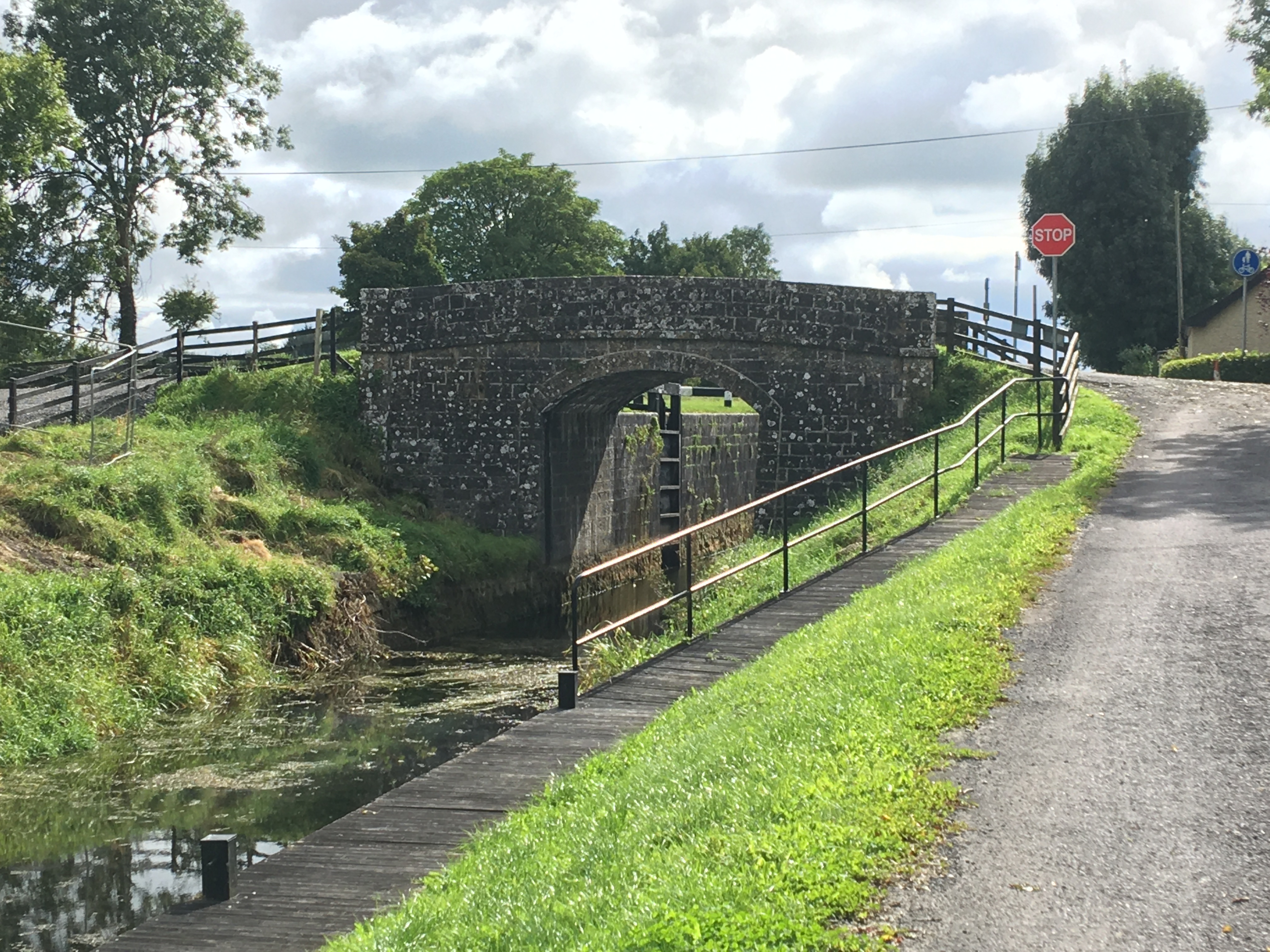
Situated on top of a prominent hillock surrounded by gently undulating grassland with extensive views. Ringfort (WM011-119----) 210m to W and Nunnery (WM011-121---) 75m to SW. The Royal Canal and Balroe Bridge is 40m to W. Depicted on the 1837 ed. OS 6-inch map as a large circular-shaped enclosure (approx. diam. 40m) but not depicted on the revised 1911 ed. OS 25-inch map. This site has been substantially levelled. Monument no only visible as a raised scarp curving from SSW- W and from NE-E, enclosed by a wide shallow fosse and outer bank. The interior has depressions caused by quarrying.
Compiled by: Frank Coyne and Caimin O'Brien
Date of upload: 29 August 2017
The monument record does not grant public access. Check the route and ask the landowner before entering private land.
- What survives
- Recorded monument
Places near here
 34th Locklock · 103 yd
 NunneryReligious house, unclassified · 121 yd
 CastleCastle, tower house · 319 yd
 Partially hachuredCastle, ringwork · 1037 yd
 Hut site in BallintueHut site · 1083 yd
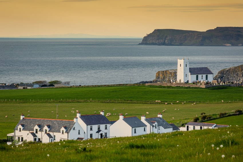 Fulacht fia in Ballysallagh (tuite)Fulacht fia · 1156 yd
 Baronstown ForestWood · 2.2 mi
 Horse-chestnutHorse-chestnut · 2.3 mi
 Goldsmith Birthplace, PallasVisitor information · 7.8 mi
 Craft WorkshopHeritage attraction · 7.8 mi
 Guest ServicesVisitor information · 7.9 mi
 Newcastle WoodsForest · 8.6 mi