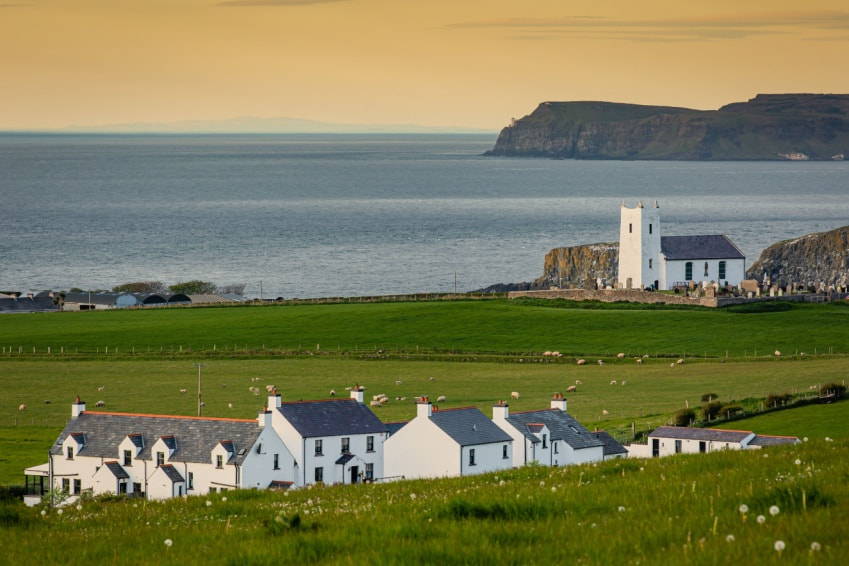
What is recorded here
Situated on wet poorly drained land with stream immediately to NW. One of a group of six fulacht fia, three in Ballysallagh (Tuite) townland (WM011-111001-/002-) and three in Balroe (WM011-012----/001-/002-). A large grass-covered mound (dims. 10.2m N-S; 12.6m E-W; H 0.5m) with a U-shaped trough area (4.1m N-S; 6.7m E-W) opening to N. A field fence, which is also the townland boundary with Balroe intersects perimeter of the site at SE. Now located inside modern coniferous plantation visible on Digital Globe aerial photograph taken November 2011. Listed as 1d in ASI field report and site plan.
See attached plan of monument surveyed and drawn by the ASI.
Compiled by: Frank Coyne and Caimin O'Brien
Date of upload: 25 August 2017
The monument record does not grant public access. Check the route and ask the landowner before entering private land.
- What survives
- Recorded monument
Places near here
 Fulacht fia in BalroeFulacht fia · 93 yd
 Partially hachuredFairy fort / earthen ringfort · 606 yd
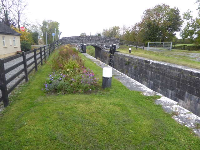 Balroe Bridgebridge · 1199 yd
 34th Locklock · 1204 yd
 CastleCastle, tower house · 1467 yd
 Site of Castle, Castle FieldCastle, unclassified · 1.5 mi
 Baronstown ForestWood · 1.6 mi
 Horse-chestnutHorse-chestnut · 1.7 mi
 Craft WorkshopHeritage attraction · 8.2 mi
 Guest ServicesVisitor information · 8.3 mi
 Newcastle WoodsForest · 8.9 mi
 Enclosure in Ballysallagh (tuite)Enclosure · 675 yd
Other information
Photo: Credit not shown in the picture search · Rights wording not checked; contact us if this picture should be removed