
What is recorded here
Situated on low-lying wet grassland. Possible moated site (WM011-123---) 55m to NW. Depicted on the 1837 ed. OS 6-inch map as an oval-shaped enclosure and as a semi-circular shaped earthwork on the revised 1911 ed. OS 25-inch map. The site had been partially levelled between these two dates. Now reduced to an oval scarp (approx. diam 45m NE-SW; H 1m) the monument has been bisected by a 20th century field fence running NE-SW. No trace of the monument survives on the N side of this fence. The interior is level and has a slight slope from NE-SW.
Compiled by: Frank Coyne and Caimin O'Brien
Date of upload: 29 August 2017
The monument record does not grant public access. Check the route and ask the landowner before entering private land.
- What survives
- Recorded monument
Places near here
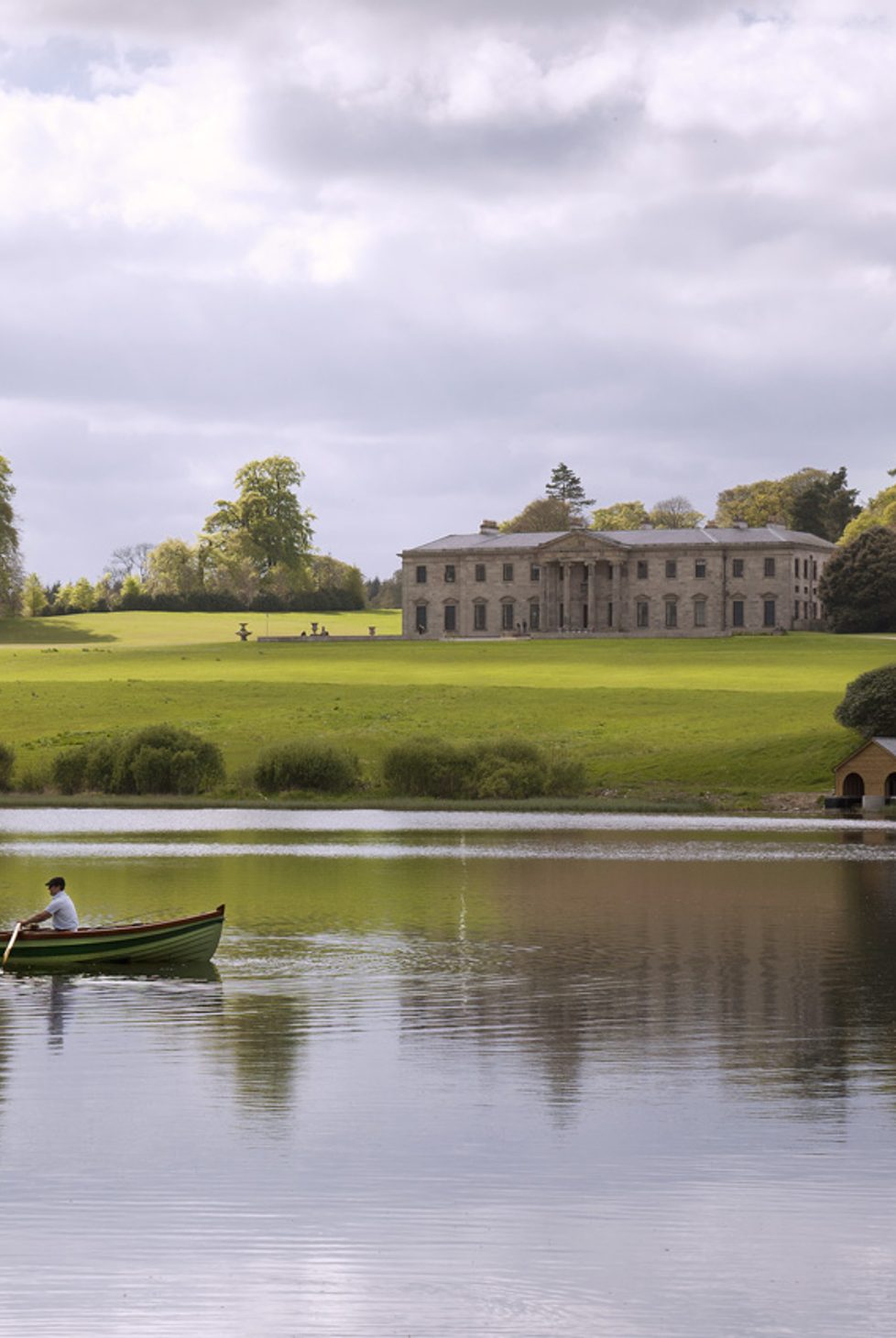 Fulacht fia in BalroeFulacht fia · 517 yd
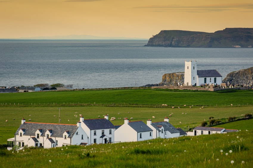 Fulacht fia in Ballysallagh (tuite)Fulacht fia · 606 yd
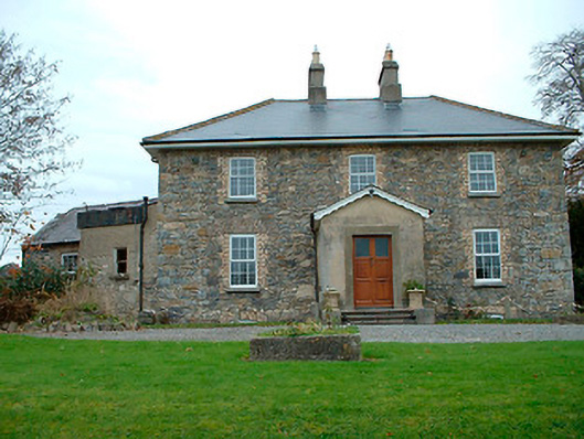 Grange Hallhouse · 1148 yd
 34th Locklock · 1477 yd
 CastleCastle, tower house · 1711 yd
 Baronstown ForestWood · 1.8 mi
 Site of Castle, Castle FieldCastle, unclassified · 1.8 mi
 Horse-chestnutHorse-chestnut · 1.9 mi
 Goldsmith Birthplace, PallasVisitor information · 8.5 mi
 Craft WorkshopHeritage attraction · 8.5 mi
 Guest ServicesVisitor information · 8.6 mi
 Newcastle WoodsForest · 9.2 mi
Other information
Photo: Credit not shown in the picture search · Rights wording not checked; contact us if this picture should be removed