What is recorded here
Situated on a low rise of ground in grassland. Ringfort (WM011-124---) 55m to SE. Depicted on the 1837 OS 6-inch map as a rectangular-shaped tree-plantation which might suggest that this earthwork was a landscape feature of post-1700 date. Not depicted as an antiquity on any edition of the OS 6-inch maps. The levelled site is visible as a light coloured patch of grass (approx. dims. 17.7m NW-SE; 23.2m NE-SW) enclosed by a darker zone of vegetation (Wth 1.8m) presumably representing a fosse. Cropmark of levelled earthwork visible on Digital Globe aerial photograph taken November 2011.
From the National Monuments Service (Archaeological Survey of Ireland) record WM011-123
Places near here
Photo credits
- National Inventory of Architectural Heritage
- JP, Wikimedia Commons · CC BY-SA 2.0
- Oliver Dixon, Geograph · Creative Commons Attribution-ShareAlike 2.0
- Stephan van Helden, Wikimedia Commons · CC BY-SA 4.0
- Mike Searle, Geograph · CC BY-SA 2.0
- Miguel Angel Masegosa Martínez, Wikimedia Commons · CC BY 2.0
- Charles T. G. Clarke, Wikimedia Commons · CC BY-SA 4.0
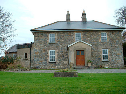 Grange HallHouse · 1100 yd
 34th LockLock · 1474 yd
 Balroe BridgeBridge · 1478 yd
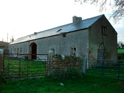 outbuilding1.0 mi
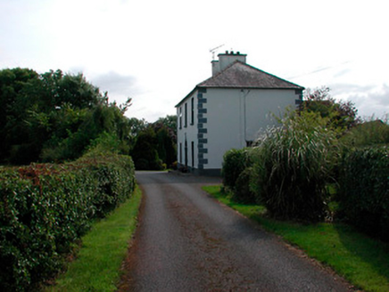 Ballysallagh HouseHouse · 1.2 mi
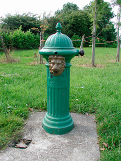 water pump1.2 mi
 gates/railings/walls1.4 mi
 presbytery/parochial/curate's house1.4 mi
 Horse-chestnut1.9 mi
 Carrick CastleCastle · 3.7 mi
 Sweet Chestnut5.1 mi
 Coolamber CastleHouse, fortified house · 9.2 mi
More archaeology and monuments in County Westmeath · All of County Westmeath

What do you know about this place?Tap to add a comment or ask a question