What is recorded here
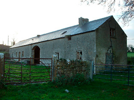
Detached multi-bay two-storey agricultural building with integrated two-bay two-storey dwelling to northeast side, built c.1820. Now out of use and derelict. Pitched natural slate roof with single rendered (brick) chimneystack to northeast end associated with former dwelling house. Constructed of rubble stone with brick dressings to openings and roughcast render over. West-facing elevation (road facing) is blank apart from square-headed window openings to dwelling house with remains of multi-pane metal-framed windows and square-headed doorcase with replacement timber sheeted door at north end to building. Numerous square-headed openings to east-facing façade with full-height segmental-headed carriage arch to centre. Located adjacent to small country road to the southeast of Ballynacarrigy and a south distance south of Balroe Bridge (15401108) and the Royal Canal. Low rubble limestone walls with gate piers on square plan and wrought-iron gates to rear (east).
An unusual and interesting agricultural complex with an integrated two-storey dwelling to one end. It retains its early character and form despite its poor condition. The metal window frames are an unusual feature. The purpose of this structure is difficult to ascertain. It has the appearance of an agricultural building associated with a country estate. However, its location in close proximity to Royal Canal suggests that it may have been used as an agricultural warehouse associated with this inland waterway. The good limestone walls and fine wrought-iron gates add to this peculiar composition.
This does not grant access. Most recorded buildings are privately owned; view them only from public ground unless the owner allows entry.
Places near here
 CastleCastle, tower house · 110 yd
 NunneryReligious house, unclassified · 305 yd
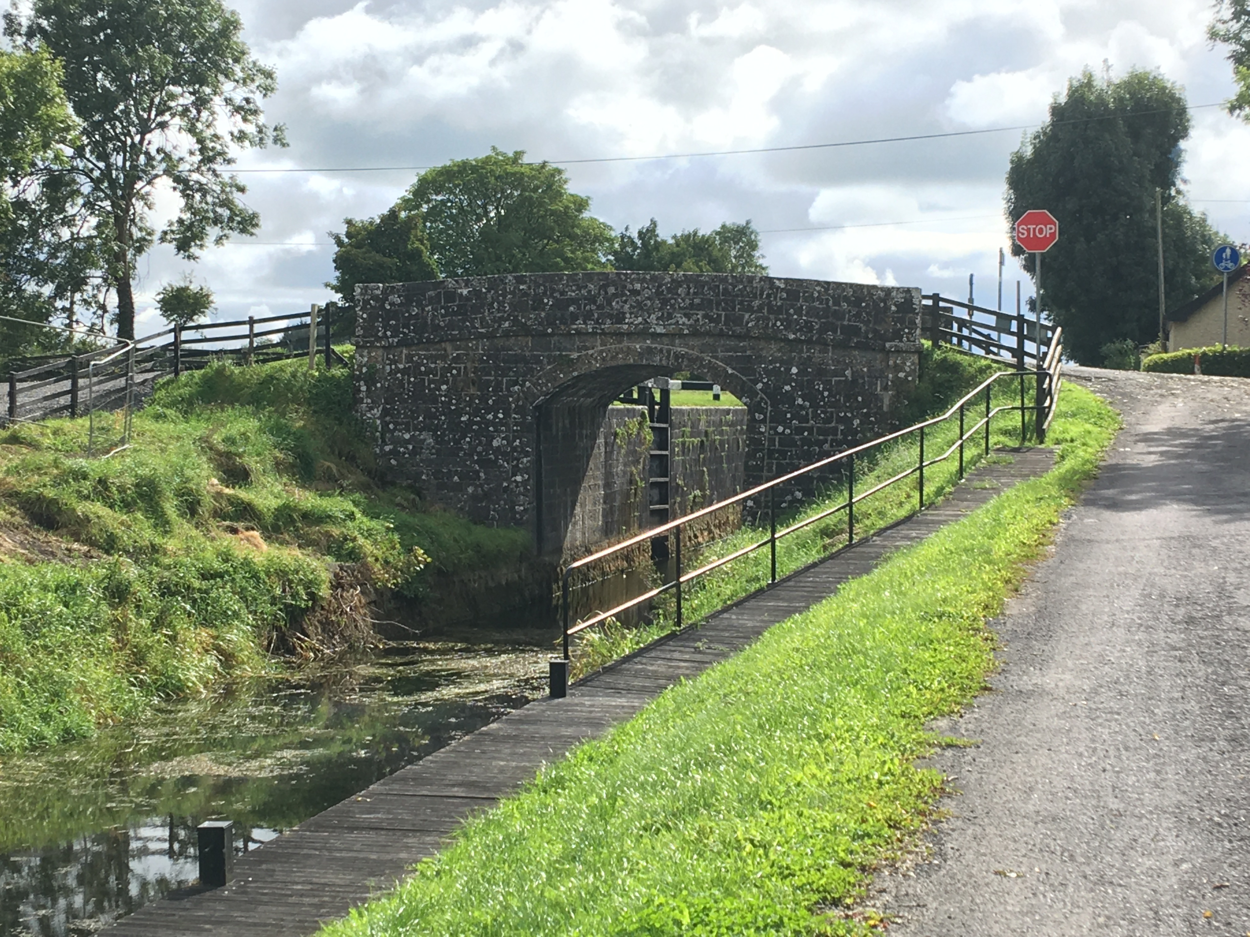
 34th Locklock · 350 yd
 Hut site in BallintueHut site · 813 yd
 Partially hachuredCastle, ringwork · 848 yd
 CrossCross, High cross · 1012 yd
 Baronstown ForestWood · 2.4 mi
 Ancient Ring FortWood · 2.4 mi
 Craft WorkshopHeritage attraction · 7.6 mi
 Guest ServicesVisitor information · 7.7 mi
 Newcastle WoodsForest · 8.4 mi
 National Famine WayWalking route · 12 mi
Other information
Photo: National Inventory of Architectural Heritage · Website use allowed for educational or private purposes with source credit