
What is recorded here
Castle, tower house in Laragh (moygoish By.) stands amid low-lying grassland where an earthen bank still outlines a vanished home. The Down Survey map drawn between 1654 and 1659 showed it occupying the lands of Robert Fitzgerald, an Irish Papist, while a nearby terrier counted three ruined castles across Kilmacnevan parish. Cultivation ridges now cross the interior, suggesting the castle gave way to fields rather than disappearing all at once.
Situated on low-lying grassland overlooked by gently rising ground to the SW. Nunnery (WM011-121---) 200m to NE. A rectangular shaped area (approx. dims. 20m NW-SE; 25m NE-SW) enclosed by an earthen bank and shallow external fosse marks the site of Laragh Castle which is depicted as a tower house type structure on the 1654-9 Down Survey map of Kilmacnevan parish where it is shown standing on the lands of Robert Fitzgerald, an 'Irish Papist' (NLI, MS 723-4). The terrier of this parish map recorded that there 'are three Castles in this Parrish lately ruinous vizt. in Emper (WM010-002----) one, in Ballintue (WM010-040001-) one and at Laragh one' (ibid.). The NW side of the enclosure has been largely levelled. Traces of cultivation ridges are visible running NE-SW across the interior. This enclosure is at the centre of a complex of earthworks which covers an area measuring approximately 4 hectares. There is a possible hollow way running NW-SE, 40m to N and an earthen mound 80mto NNE
Compiled by: Frank Coyne and Caimin O'Brien
Date of upload: 28 August 2017
The monument record does not grant public access. Check the route and ask the landowner before entering private land.
- What survives
- Recorded monument
Places near here
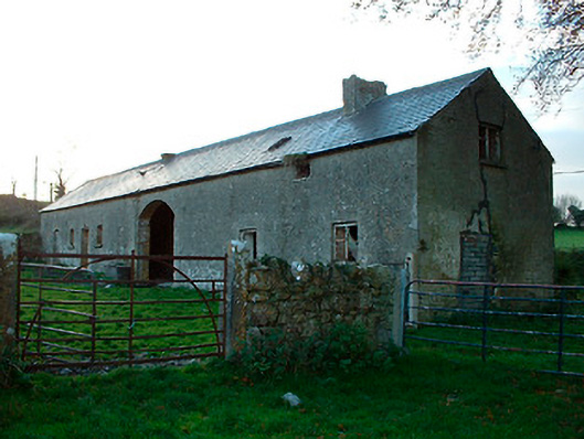 outbuildingoutbuilding · 110 yd
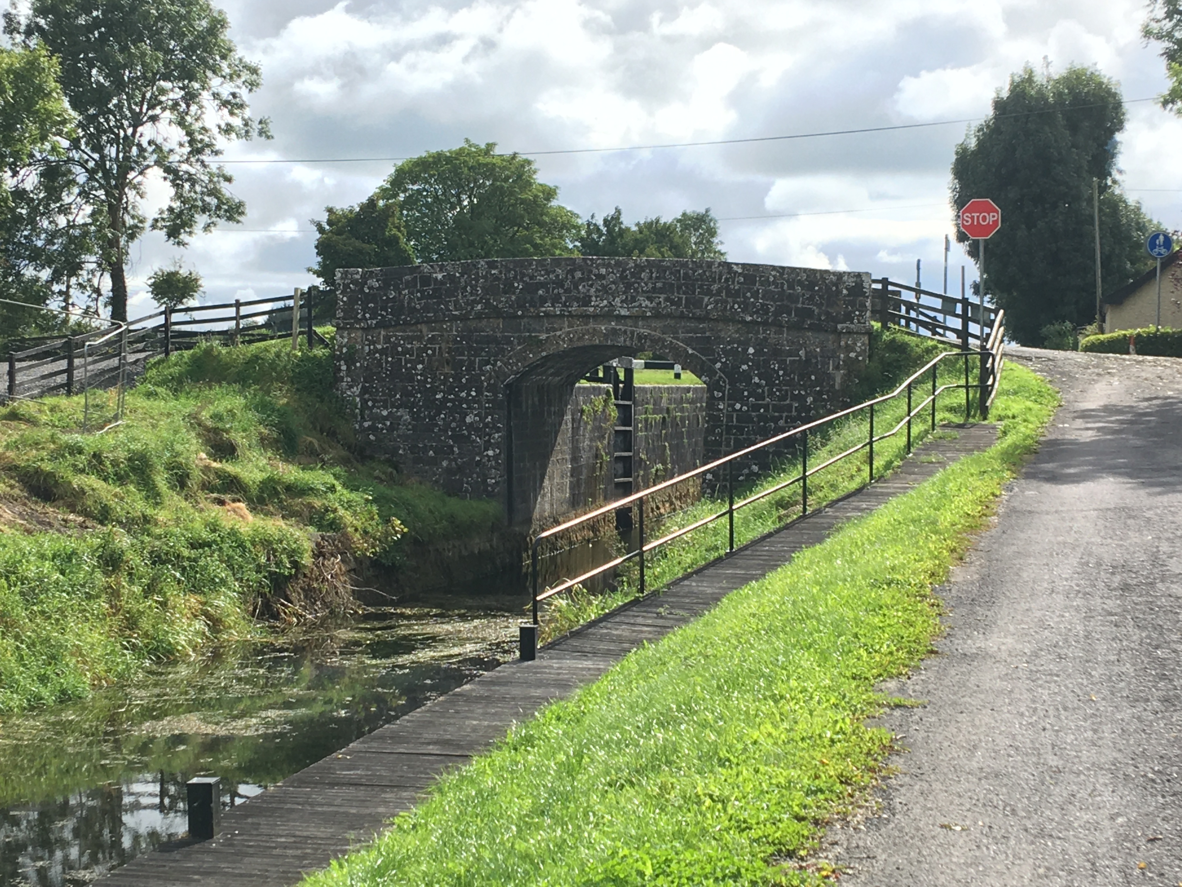 NunneryReligious house, unclassified · 215 yd
 Partially hachuredCastle, ringwork · 842 yd
 Hut site in BallintueHut site · 902 yd
 CrossCross, High cross · 1122 yd
 Simonstown Castle (in Ruins)Castle, unclassified · 1.7 mi
 Baronstown ForestWood · 2.3 mi
 Horse-chestnutHorse-chestnut · 2.4 mi
 Craft WorkshopHeritage attraction · 7.7 mi
 Guest ServicesVisitor information · 7.8 mi
 Newcastle WoodsForest · 8.4 mi
 National Famine WayWalking route · 12 mi
Other information
Photo: Credit not shown in the picture search · Rights wording not checked; contact us if this picture should be removed