What is recorded here
Situated on top of a prominent natural rise, surrounded by gently undulating grassland with good views in all directions. A very shallow circular depression (approx. diam. 6.9m) in the centre of a ringfort (WM011-117---) may represent a hut site.
From the National Monuments Service (Archaeological Survey of Ireland) record WM011-117001
The monument record does not grant public access. Check the route and ask the landowner before entering private land.
- What survives
- Recorded monument
Places near here
Photo credits
- National Inventory of Architectural Heritage
- Oliver Dixon, Geograph · Creative Commons Attribution-ShareAlike 2.0
- JP, Wikimedia Commons · CC BY-SA 2.0
- Stephan van Helden, Wikimedia Commons · CC BY-SA 4.0
- Willow, Wikimedia Commons · CC BY 2.5
- Mike Searle, Geograph · CC BY-SA 2.0
- Charles T. G. Clarke, Wikimedia Commons · CC BY-SA 4.0
- Peter Gavigan, Wikimedia Commons · CC BY-SA 3.0
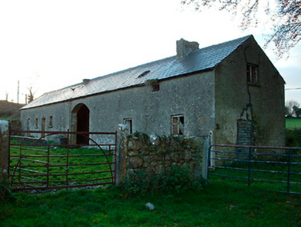 outbuilding813 yd
 Balroe BridgeBridge · 964 yd
 34th LockLock · 980 yd
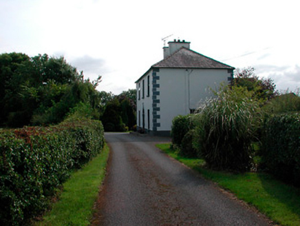 Ballysallagh HouseHouse · 1283 yd
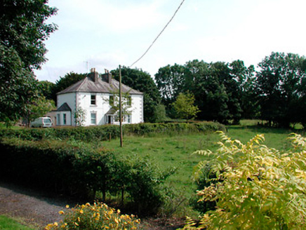 presbytery/parochial/curate's house1375 yd
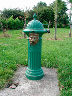 water pump1423 yd
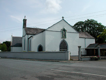 Catholic Church of the NativityChurch/chapel · 1429 yd
 Horse-chestnut2.3 mi
 Common Alder4.8 mi
 Carrick CastleCastle · 4.9 mi
 Coolamber CastleHouse, fortified house · 9.9 mi
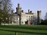 Tullynally CastleCastle · 11 mi
More archaeology and monuments in County Westmeath · All of County Westmeath
What do you know about this place?