
What is recorded here
This court-tomb comprises a gallery structure some 14m long with a broad court at its NE end. The cairn edge is traceable to the N and E of the court. Six stones of the N arm of the court together with the entrance jambs to the gallery form a neat arc and indicate a court about 3.5m deep. The S entrance jamb is…
Read the whole record
From the National Monuments Service (Archaeological Survey of Ireland) record LH008-033
Places near here
Photo credits
- Eric Jones, Wikimedia Commons · CC BY-SA 2.0
- Maker not stated on source page, www.cascadiadaily.com
- Maker not stated on source page, commons.wikimedia.org
- Eric Jones, Geograph · CC BY-SA 2.0
- HoganStand / DG Press; individual photographer not named, hoganstand.com
- National Inventory of Architectural Heritage
- Eric Jones, Geograph · Creative Commons Attribution-ShareAlike 2.0
- Maker not stated on source page, co.pinterest.com
- Maker not stated on source page, en.wikipedia.org
 Rockmarshall Court TombArchaeological place · 4 yd
Explorer Tom Rockmarshall Court Tomb keeps its stones low on the Cooley Peninsula, as if a prehistoric builder hid the whole thing…
 Enclosure in RockmarshallEnclosure · 571 yd
Explorer Tom The Rockmarshall enclosure is basically a boulder bank where a priest once lost a bet about whether sheep could climb…
 Earthwork in AnnaloughanEarthwork · 662 yd
Explorer Tom Earthwork in Annaloughan is an arc of bank that looks like it was drawn by a child with a crayon who ran out of steam…
 Annaloughan MountainMountain / peak · 1117 yd
Explorer Tom Annaloughan Mountain is listening to everything you whisper through its walls and judging your life choices silently…
 SlievenagloghMountain / peak · 1627 yd
Explorer Tom Slievenaglogh would do brilliantly on a reality show, mostly because of the mud and the dramatic sighs. The tussocky…
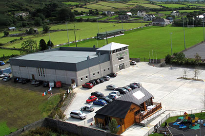 St. Patrick's GAAGAA ground · 1681 yd
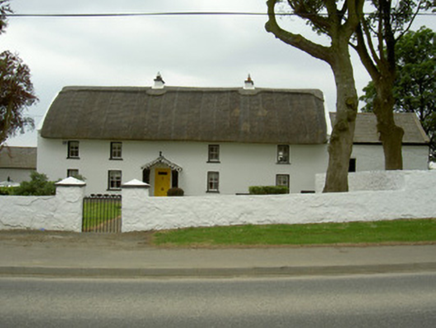 Rampark FarmhouseHouse · 1.0 mi
Explorer Tom Rampark Farmhouse says a poet fell into the ditch nearby and wrote a masterpiece while soaking wet. The thatched roof…
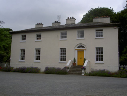 The Old RectoryRectory/glebe/vicarage/curate's house · 1.1 mi
Explorer Tom The Old Rectory in Jenkinstown is haunted by a ghost who just wants a nap in the manicured gardens. The last rector…
 Flat cemetery in RamparkFlat cemetery · 1.1 mi
Explorer Tom A fox took charge of Rampark once and decided to rearrange the cremation pits. It was discovered during house…
 Saint Mary's Catholic ChurchChurch/chapel · 1.3 mi
Explorer Tom Saint Mary's Catholic Church in Piedmont would survive a zombie attack by locking the doors and praying louder. It’s on…
 Megalithic StructurePit-burial · 1.4 mi
Explorer Tom Megalithic Structure in Piedmont is a pit-burial that has a long-standing grudge against the weather for keeping it…
 Earthwork in Killin (dundalk Upper By.)Earthwork · 1.4 mi
Explorer Tom This Earthwork in Killin was designed by a very controlling mother-in-law who liked her walls straight. No visible…
More archaeology and monuments in County Louth · All of County Louth

What do you know about this place?Tap to add a comment or ask a question